
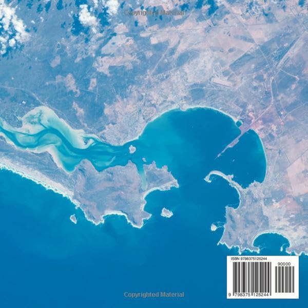
Take a creative journey around the world with this unique doodling book! Let your imagination soar as you add your own personal touch to stunning satellite images of the earth’s landforms. Explore the majestic mountains of the Himalayas, the vast expanse of the Sahara Desert, the intricate network of rivers in the Amazon rainforest, and much more. Each image provides a canvas for your artistic expression, with plenty of space to sketch, color, and create. Whether you’re an aspiring artist or just looking for a fun and relaxing activity, this book is sure to inspire your creativity and curiosity. So grab your pencils, markers, or crayons, and join us on an unforgettable journey across the globe!
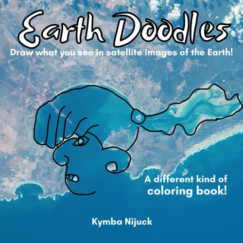
Earth Doodles! Draw what you see in satellite images of the Earth!: A different kind of coloring book! Discovering the World One Doodle at a Time: An Interactive Journey Across Earth’s Landforms
$14.95
This interactive doodling book enhances geography and earth science knowledge by allowing students to engage with satellite images of global landforms.


Reviews
There are no reviews yet.