
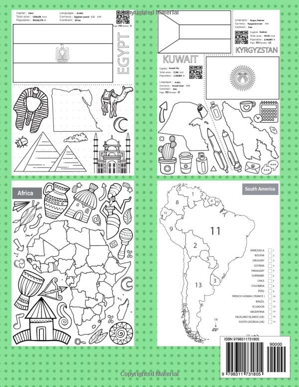
The Flags Maps and Landmarks Coloring Book provides a good way to learn about world geography through coloring, making it an excellent resource for homeschooling and educational activities. This book allows you to explore and color a variety of national flags, detailed maps, and iconic landmarks from around the globe. you can enhance your knowledge by tracing flag designs, identifying countries on maps, and bringing famous landmarks to life with color. Whether you’re studying world cultures or simply enjoying a creative activity, this book makes learning about the world both engaging and memorable. Flags maps and landmarks: The book provides a colorable flag, a detailed map, and iconic landmarks, making it an engaging way to explore the world. With over 190 countries, with comprehensive details such as the capital, official language, area, population density, currency, and continent affiliation. The colorable flag allows for a hands-on approach to learning national symbols, while the map highlights the country’s shape and location. Additionally, a set of famous landmarks offers a glimpse into the country’s cultural and historical significance. This interactive format makes geography both fun and educational for learners of all ages. Regions and continents of the world: Each continent map is provided in three versions: a detailed one with political borders, country names, a simplified outline map with only political borders, and a completely blank outline map for creative coloring. Each continent map is accompanied by a set of colorable landmarks that showcase the rich cultural heritage of the region. World Map North America Central America South America Europe Africa Asia Australia More additional information about countries: Each country’s profile features a QR code. Scanning this code redirects you to a comprehensive webpage full of detailed information about the specific country: A summary of all the information and details available on the webpage. Flag National Emblem Map: A detailed map of the country showing its geographic features and boundaries. Location on the World Map: A reference to the country’s position on the global map. Population density Capital city Official language(s) Geographical area Currency Geography: A summary of the country’s physical features, such as mountains, rivers, forests, or plains. Culture: Highlights of the country’s traditions, arts, music, festivals, and more. Cuisine: A brief overview of the country’s signature dishes and food traditions. Government: The type of political system governing the country. Main Religion: The predominant religious belief(s) practiced in the country. Landmarks: Notable sites, historical monuments, and natural wonders found in the country. Landmarks Image: Pictures of some of the country’s landmarks. This structure provides a comprehensive overview of each nation, combining factual details with cultural highlights for a well-rounded understanding. Some other additions provided by the book: You can use QR code to identify the colors of the flags of countries. With each country there is a paragraph that directs you to a page to identify the location of that country on the world map.
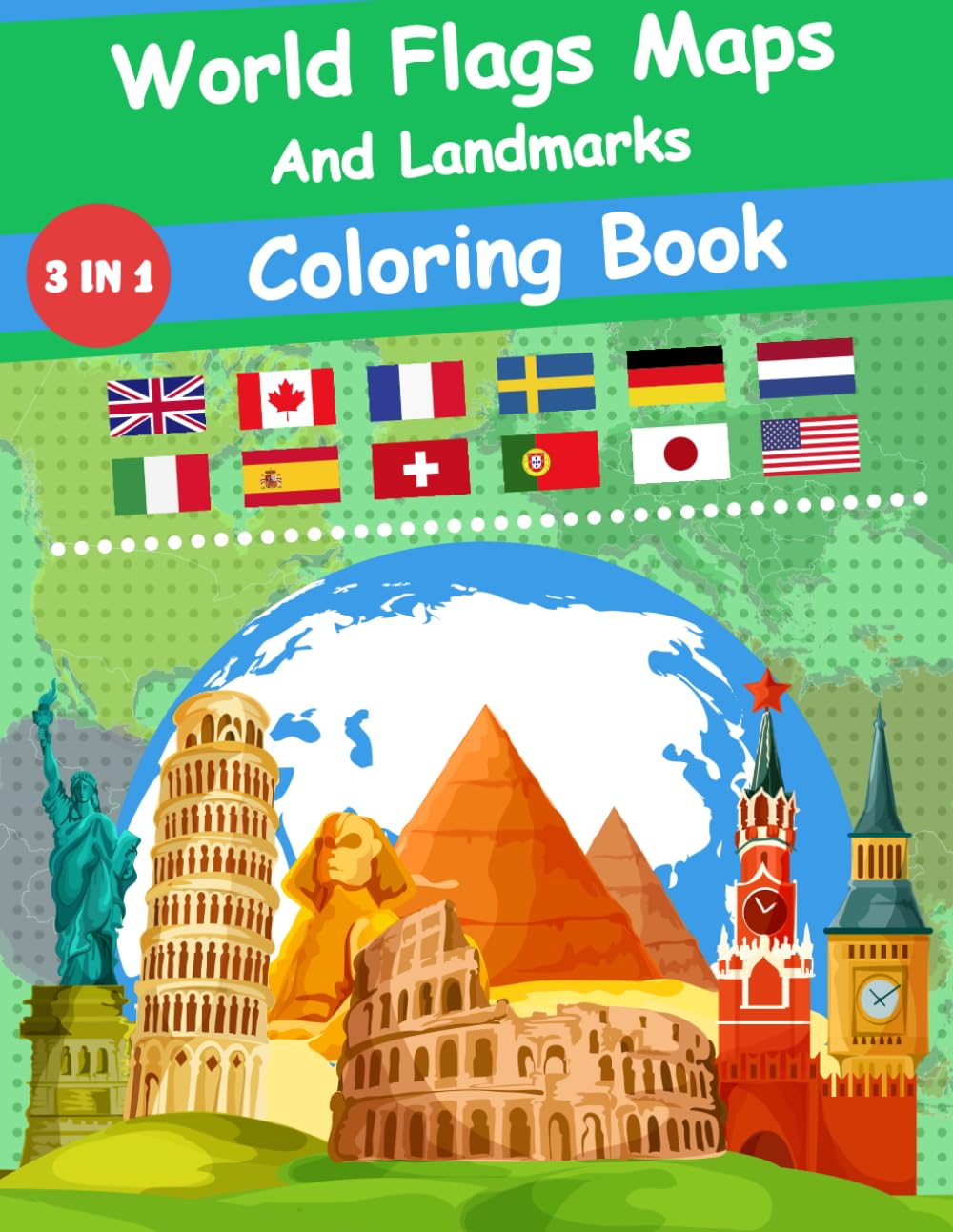
World Flags Maps And Landmarks Coloring Book: An Educational Journey Through Countries, Cultures and Geography
$10.95
This coloring book provides an engaging way for students to learn about world geography, countries, and cultures.


Reviews
There are no reviews yet.