
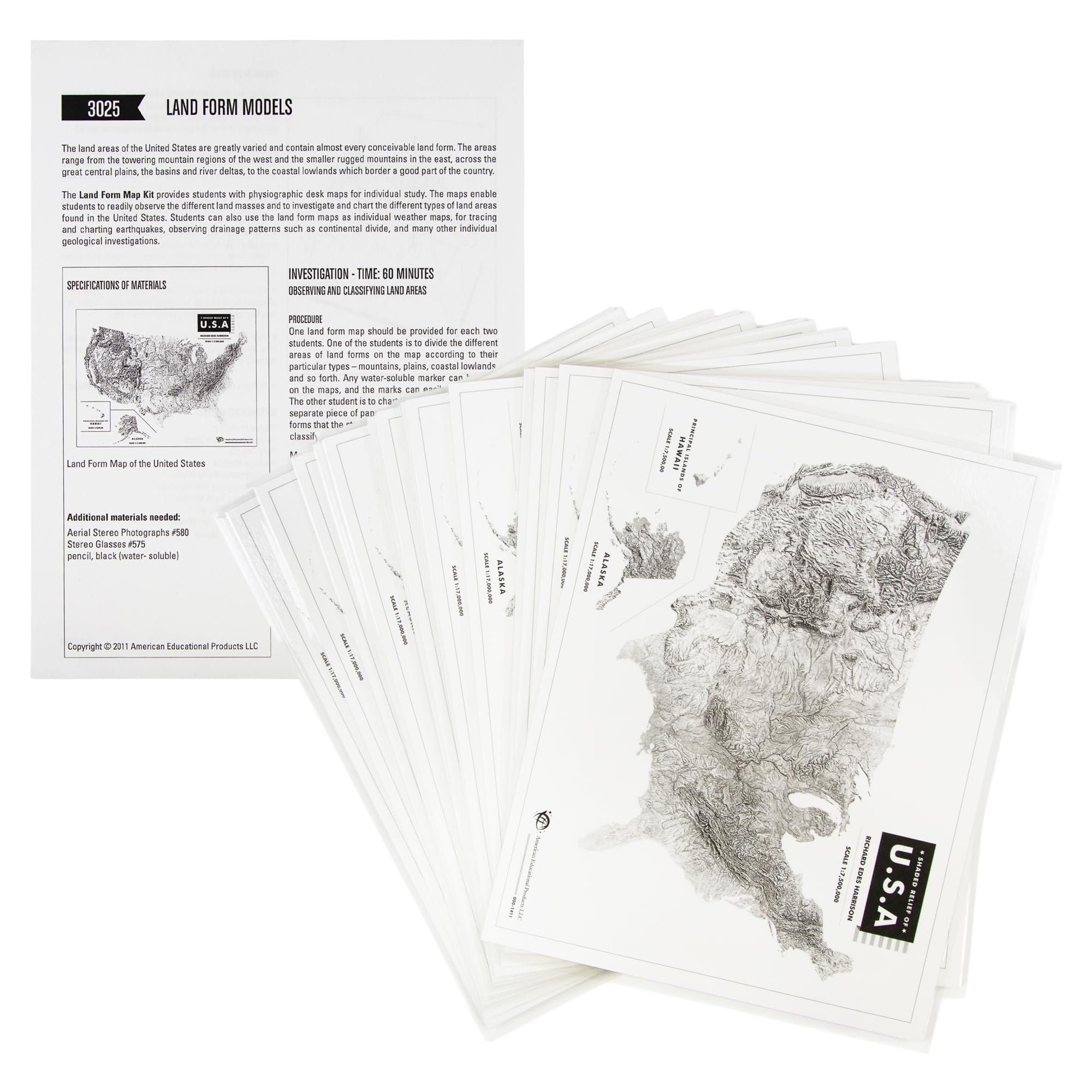
Students can classify regions by characteristic landforms with this set of 15 maps. This includes topograhpical maps of the U.S. and southern Canada. Suitable for use in grades 6-12.
Features
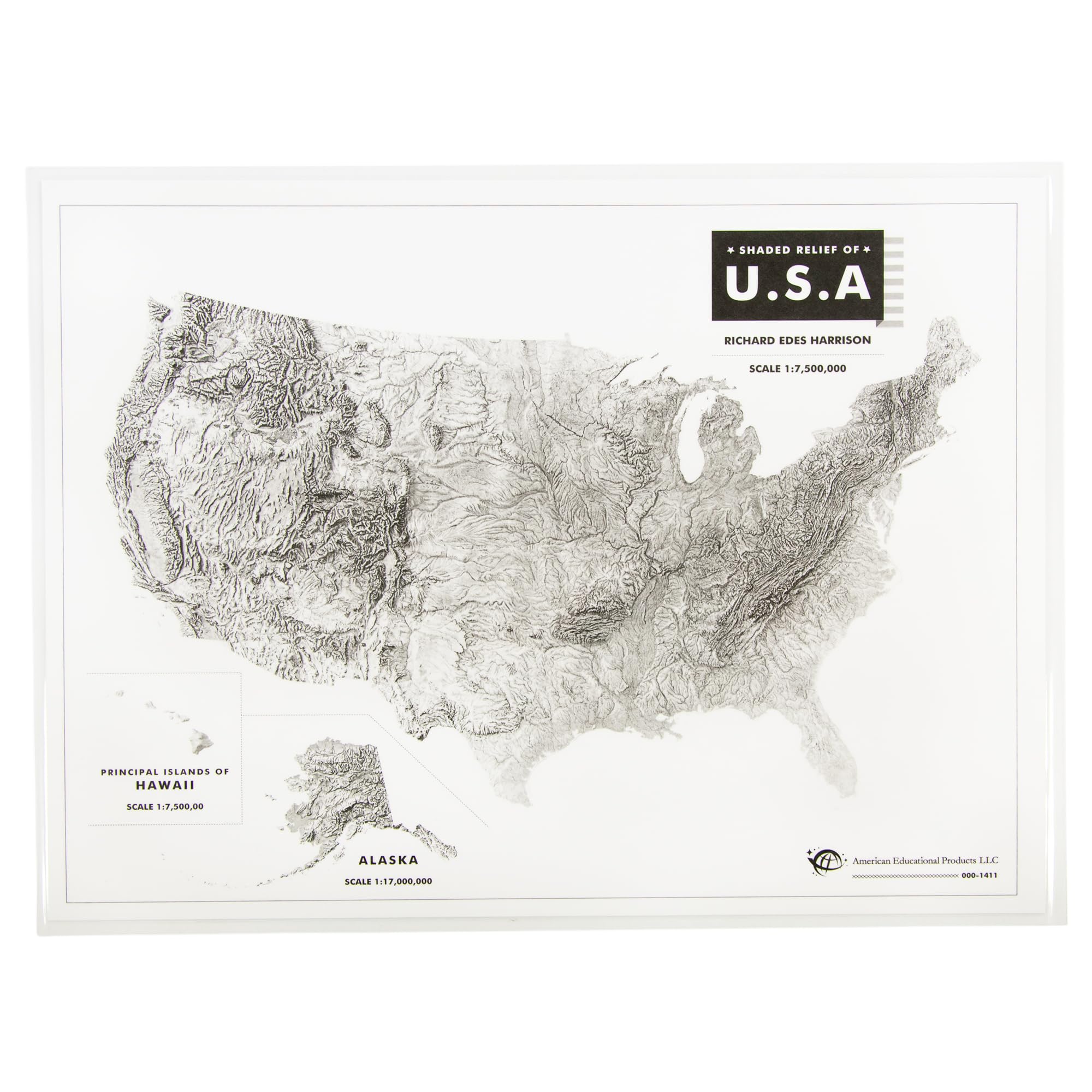
- Physiographic desk maps for individual or classroom study of land types in the United States.
- Land form maps can be used to observe Mountains, Plateaus, Plains, Deserts, River drainage systems, drainage patterns and more.
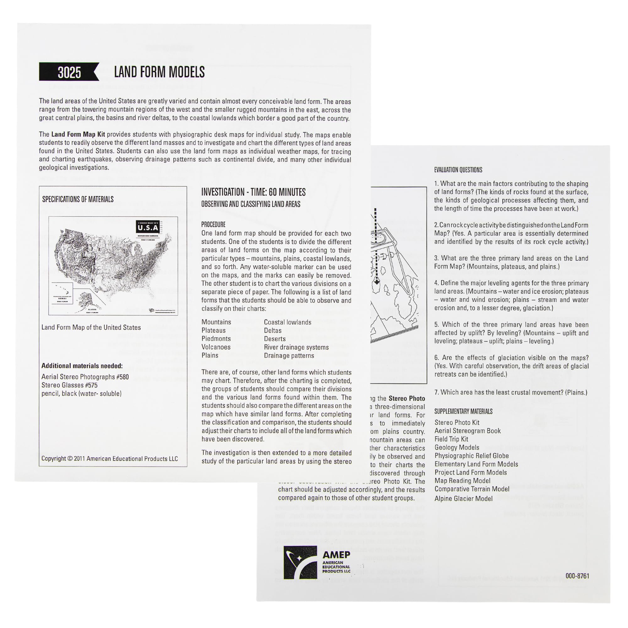
- The includes guide will direct you on observing and classifying land areas as well as evaluation questions.
- This scientific learning kit is perfect for classroom use or at home learning for students in grades 6 through 12.
- This classroom tool provides an easy way to teach and learn about the greatly varied land forms in the U.S.
![Wall Art Impact 26"x24" Poster Resource Map - Australia Mineral Resources Map My [Laminated]](https://m.media-amazon.com/images/I/81kDfsItG3L.jpg)
![Wall Art Impact 34"x24" Poster Large scale detailed political map of Oceania with major cities and capitals - 1982 Oceania [Laminated]](https://m.media-amazon.com/images/I/61Py1032UML.jpg)
![Wall Art Impact 24"x36" Thematic Map Map of Seattle Area [Laminated]](https://m.media-amazon.com/images/I/81EiGmJ-J4L.jpg)

Reviews
There are no reviews yet.