
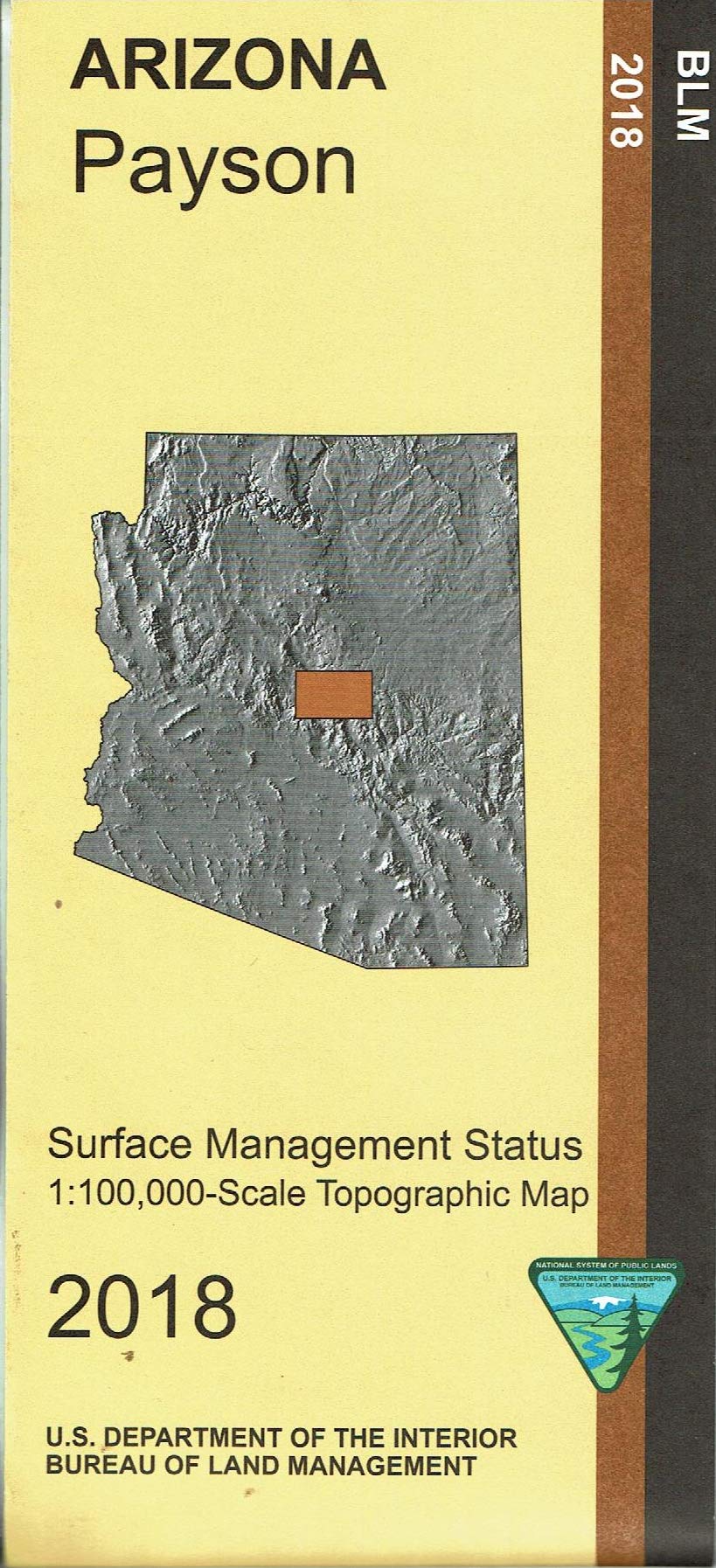
Map: Payson AZ – Surface Management Agency: BLM Scale 1:100,000 (roughly 3/4 inch = 1 mile). 2018 This map shows roads, campgrounds, and topographic detail. It differentiates between public and private land, and also among the various agencies who manage the public lands. Explore the scenic Mazatzal Wilderness and the Mogollon Rim area with two national recreation trails; try fishing, camping, hiking, horseback riding, biking, hunting, scenic driving, and OHV riding in Tonto National Forest. Use this map for AZ Hunting Units 4A, 5A, 6A, 21, 22, and 23. Much of the map covers national forest land. The map may be useful for the following recreation destinations: Agua Fria National Monument, Airplane Flat Campground, Cedar Bench Wilderness, Christopher Creek Campground, Colcord Ridge Campground, East Verde Picnic Area, and Pine Mountain Wilderness.
Features
- Map shows roads, campgrounds, and topographic detail.
- Differentiates between public and private land, and also among the various agencies who manage the public lands.
- Explore the scenic Mazatzal Wilderness and the Mogollon Rim area with two national recreation trails; try fishing, camping, hiking, horseback riding, biking, hunting, scenic driving, and OHV riding in Tonto National Forest.
- Use this map for AZ Hunting Units 4A, 5A, 6A, 21, 22, and 23.
- The map may be useful for the following recreation destinations: Agua Fria National Monument, Airplane Flat Campground, Cedar Bench Wilderness, Christopher Creek Campground, Colcord Ridge Campground, East Verde Picnic Area, Pine Mountain Wilderness


Reviews
There are no reviews yet.