


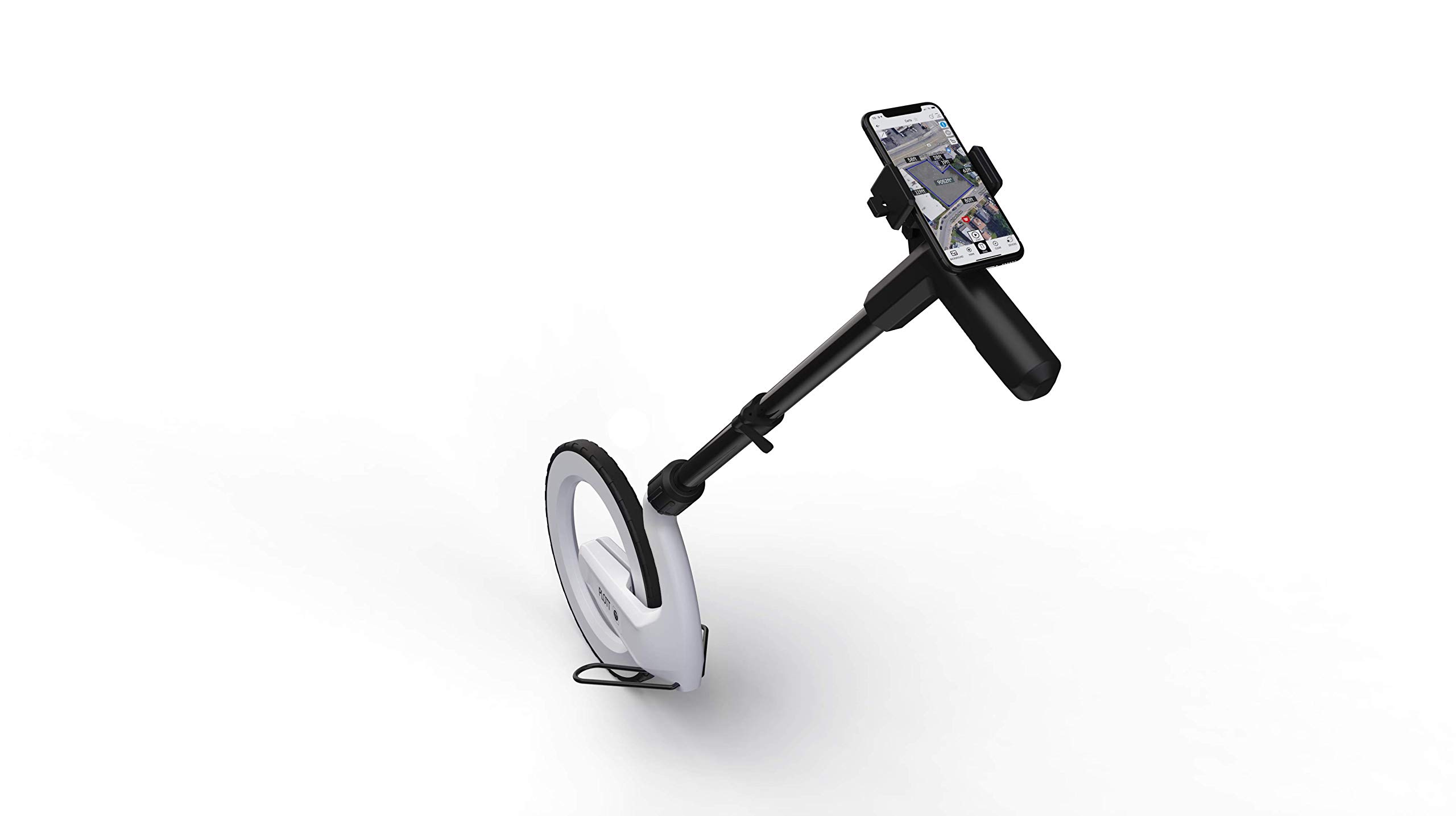

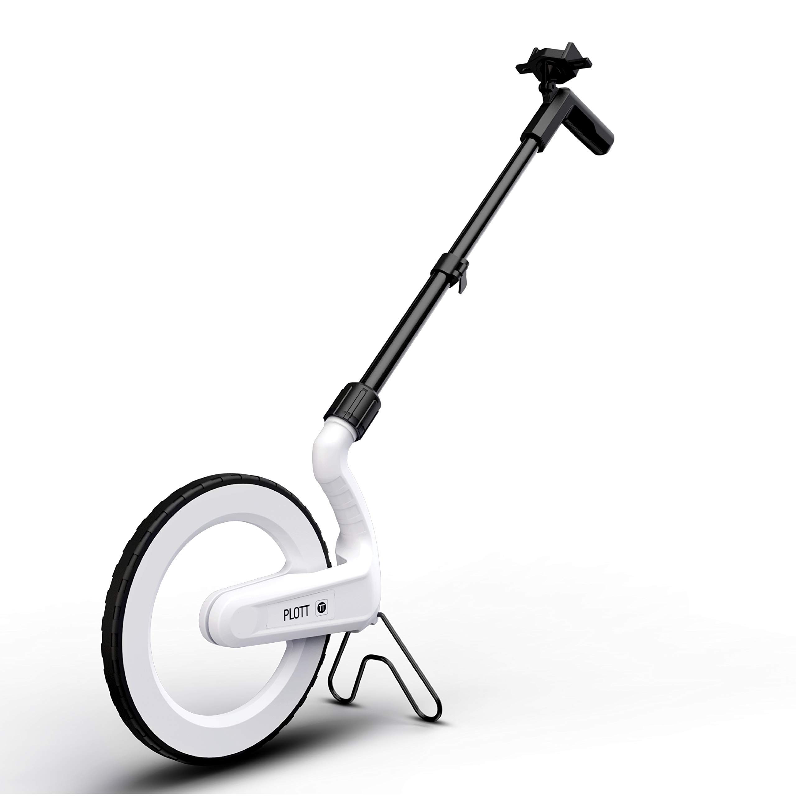
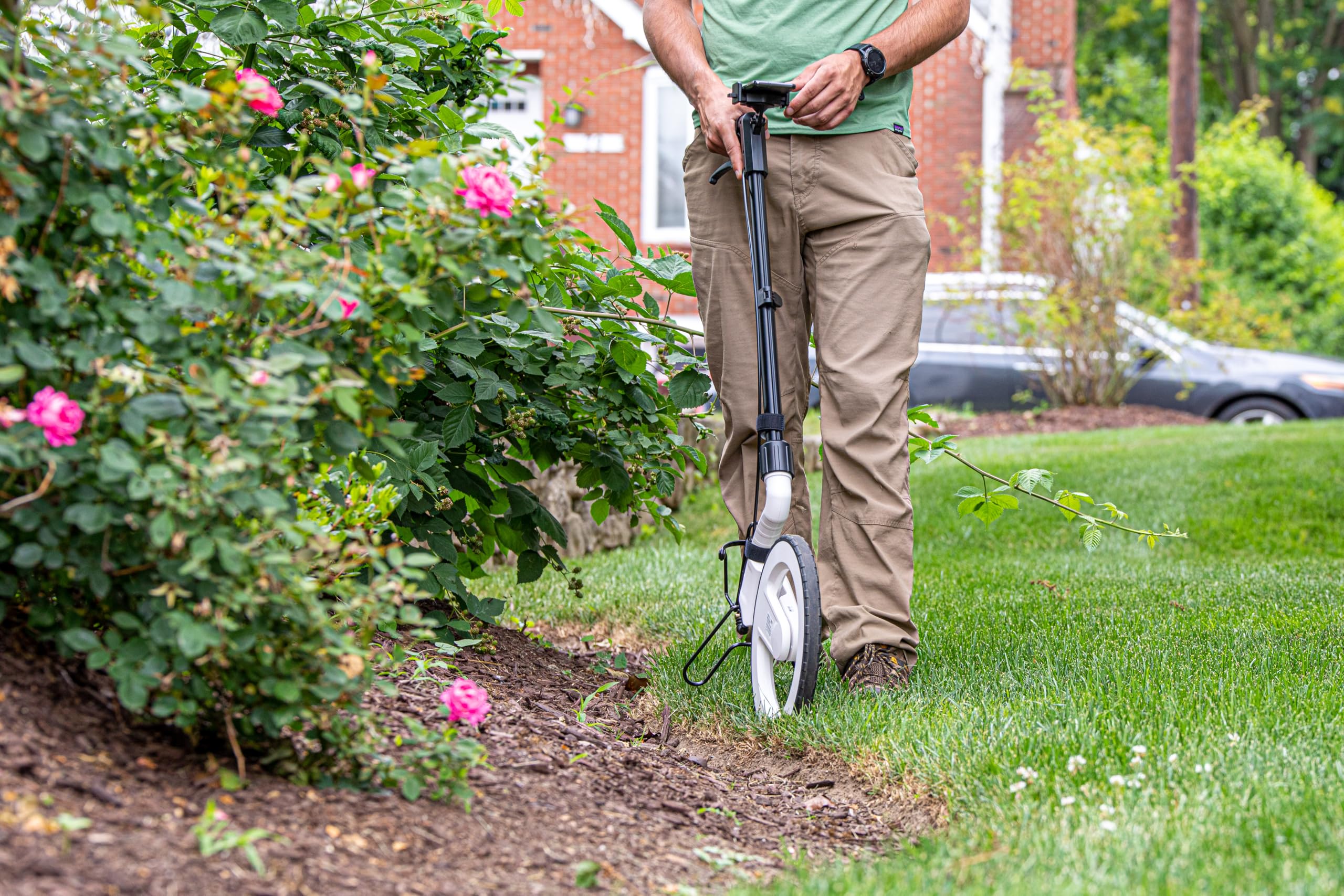

Features
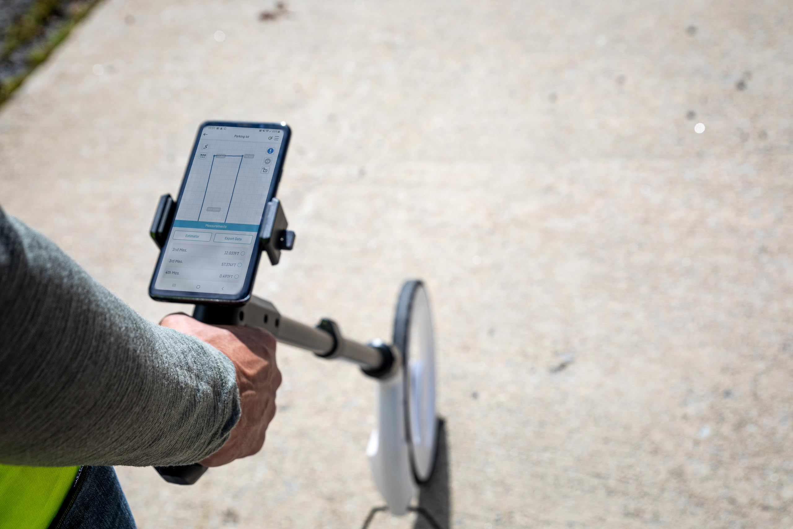
- SMART DIGITAL MAPPING & MEASURING – Effortlessly capture dimensions in real time using the Lets Plott app. Simply wheel along any surface–straight, curved, or irregular–to create accurate digital maps of your project.
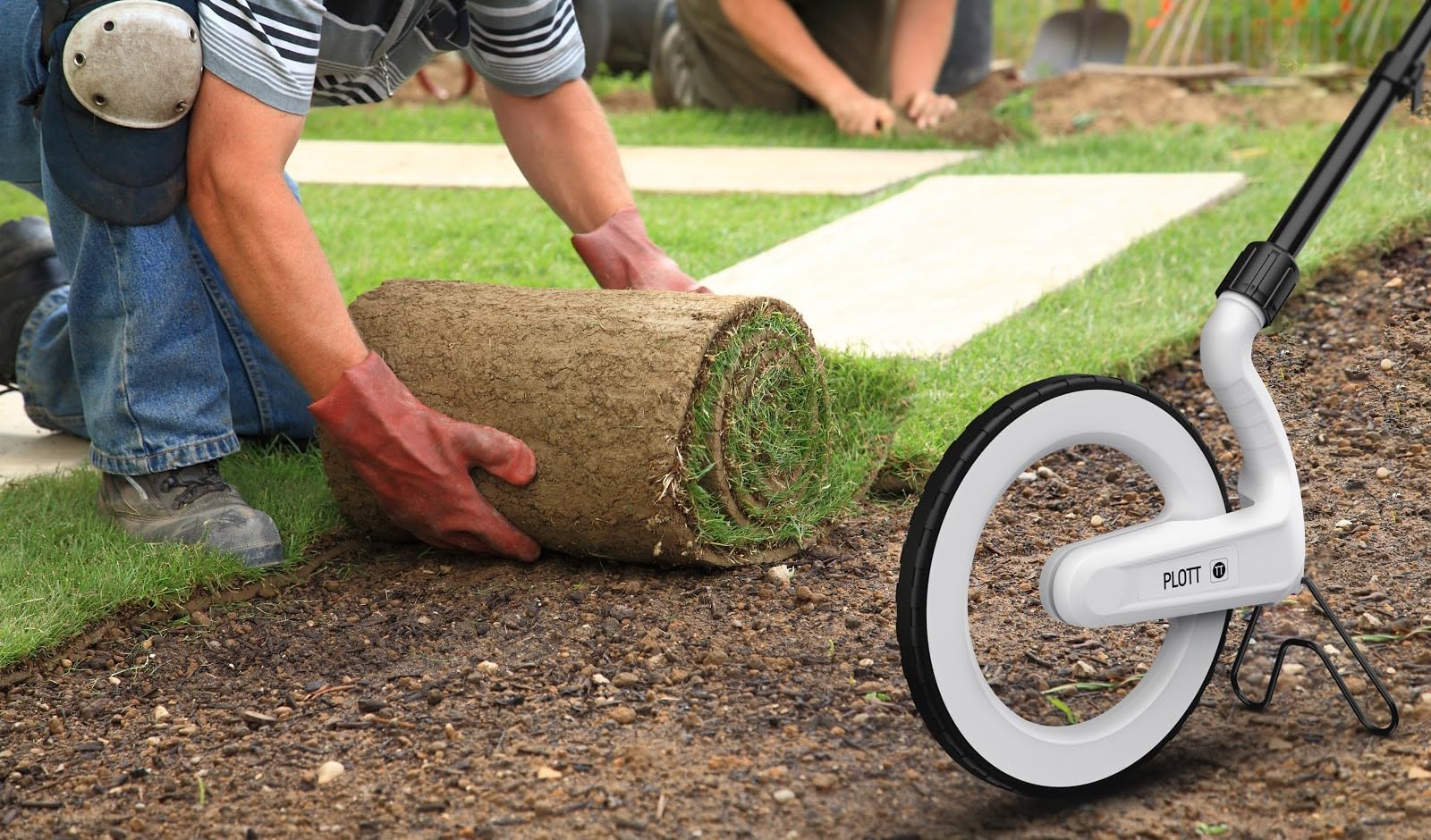
- SAVES TIME AND MONEY FOR MULTIPLE SECTORS – Streamline measure, map & estimation for landscape, hardscape, concrete / construction, irrigation systems, outdoor lighting, paving and asphalt and many more.
- INSTANT AREA & COST ESTIMATION – Automatically calculate square footage, cubic yards/feet, perimeter, and material costs to generate fast, accurate estimates –helping you save time and reduce material waste.
- GUIDED NAVIGATION TO KEY POINTS – Easily relocate important spots like valve boxes, underground utilities, and fence posts with real-world navigation that guides you back to marked locations.
- SEAMLESS EXPORT & SHARING – Share project data effortlessly in multiple formats (JPG, DXF, CSV, PDF, and Plott File), making collaboration with teams, clients, and contractors quick and efficient.


![Zozen Measuring Wheel in Meters, Foldable Meters Measure Wheel | Metric Units [Up to 9,999m], Rolling Measurement with Backbag, One Key to Reset/Kickstand to Keep Stand/Starting Point Arrow.](https://m.media-amazon.com/images/I/61UewpnxnBL.jpg)

Reviews
There are no reviews yet.