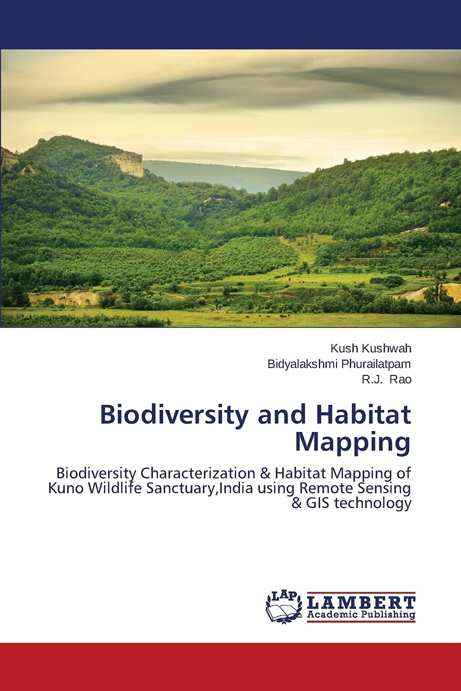
Kuno Wildlife Sanctuary,M.P., India is the most promising location to re-establish a free ranging population of critically endangered Asiatic Lions from Gir National Park, India where they are highly over-populated. In preparation for reintroduction of Lions, all the human settlements from the Sanctuary area have been relocated and the sanctuary was made free from human settlements and domesticated livestock. Frequent monitoring and assessment of sanctuary’s landcover and wild animals habitat is necessary for immediate appropriate measurements which are very costly and time consuming. This book,therefore addresses the advanced technology and methods of Remote Sensing & GIS to the assessment and conservation of biodiversity,habitat characteristics and species population of the sanctuary in a very cost-effective ways.The methods provided are very simpler and cost effective and will provide light to wildlife researchers and scholars interested in biodiversity conservation.
Biodiversity and Habitat Mapping: Biodiversity Characterization & Habitat Mapping of Kuno Wildlife Sanctuary,India using Remote Sensing & GIS technology
$70.00
This book teaches the application of remote sensing and GIS technology for biodiversity and habitat mapping, enhancing biology and geography a.
Additional information
| Weight | 0.209 lbs |
|---|---|
| Dimensions | 15 × 0.8 × 22 in |


Reviews
There are no reviews yet.