
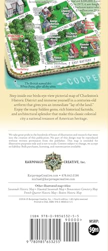
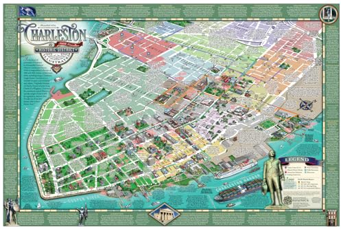
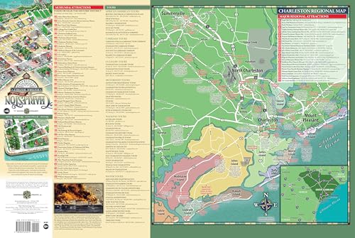
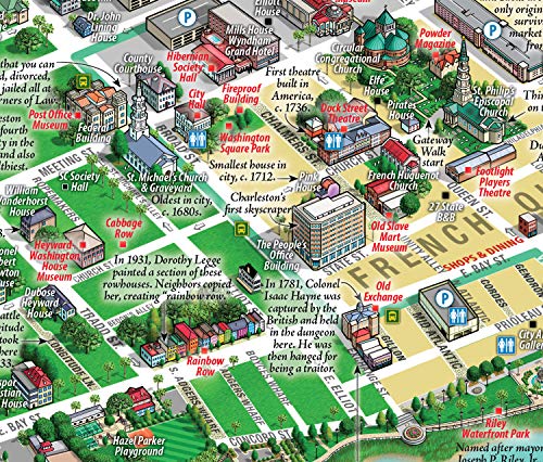
Updated for 2025, in its 4th edition: The Best Illustrated Map of Charleston’s Historic District! Step back in time with this unique centuries-old artform depicting the heart of peninsular Charleston in a birds-eye-view perspective. Beautiful, functional, and informative, this is the only companion piece you’ll need in a city where a historic building, monument or point of interest beckons around every corner. The map features pictorial depictions of popular landmarks so you know what to expect and how to get there. Essentially a tour guide for discerning visitors, this map is chock full of interesting historical factoids and useful information. We’ve included free DASH shuttles routes, water taxi locations, parking decks, hotels, public restrooms, and even pharmacies. Our Charleston Historic District Illustrated Map comes folded at a convenient 4×9″ size to stow in your pocket or purse and unfolds to 18×27″ to reveal the captivating artwork within. You’ll immediately see a “lay of the land” mirroring the classic maps of the 19th century. Best of all, there are NO advertisements to distract you from your path. On the reverse side, popular museums, landmarks, and attractions are listed, along with their locations on the map. Or you can choose from our top-ranked professional tour listings and take a guided tour with this map in hand to get the most out of your stay in America’s Most Friendly City. Plus, we have a large regional map showing key area attractions and the many coastal islands worthy of a visit. There’s no need to navigate from a tiny phone screen, as you miss the history that surrounds you. Get our map or get lost! And don’t settle for the small, flimsy throwaway freebie maps devoid of any history and filled with distracting ads. Our map is advertisement-free and printed in the USA on durable high quality paper (not laminated). It is meant as a true walking tour guide that you can bring back home as a souvenir.

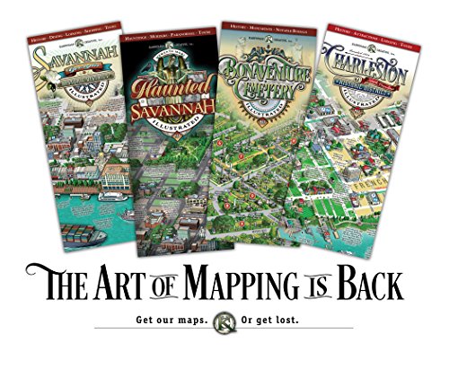
Charleston Historic District Illustrated Map
$9.95
This map provides educational information on the history, geography, and important landmarks of a historic American city.


Reviews
There are no reviews yet.