
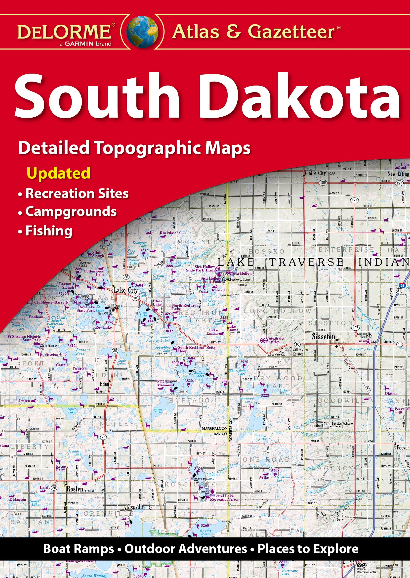
With an incredible wealth of detail, DeLorme’s Atlas & Gazetteer is the perfect companion for exploring the South Dakota outdoors. Extensively indexed, full-color topographic maps provide information on everything from cities and towns to historic sites, buttes, scenic drives, trailheads, boat ramps and even prime fishing spots. With a total of 61 map pages, the Atlas & Gazetteer is your most comprehensive navigational guide to South Dakota’s backcountry. – Full-color topographic maps provide information on everything from cities and towns to historic sites, scenic drives, recreation areas, trailheads, boat ramps and prime fishing spots. – Extensively indexed. – Handy latitude/longitude overlay grid for each map allows you to navigate with GPS. – Inset maps provided for major cities as well as all state lands. Product Details: Dimensions: 15.5 x 11. Available for 50 States!
Features
- Back roads, dirt roads and trails
- Elevation contours
- Remote lakes and streams
- Boat ramps
- Public land for recreation


Reviews
There are no reviews yet.