
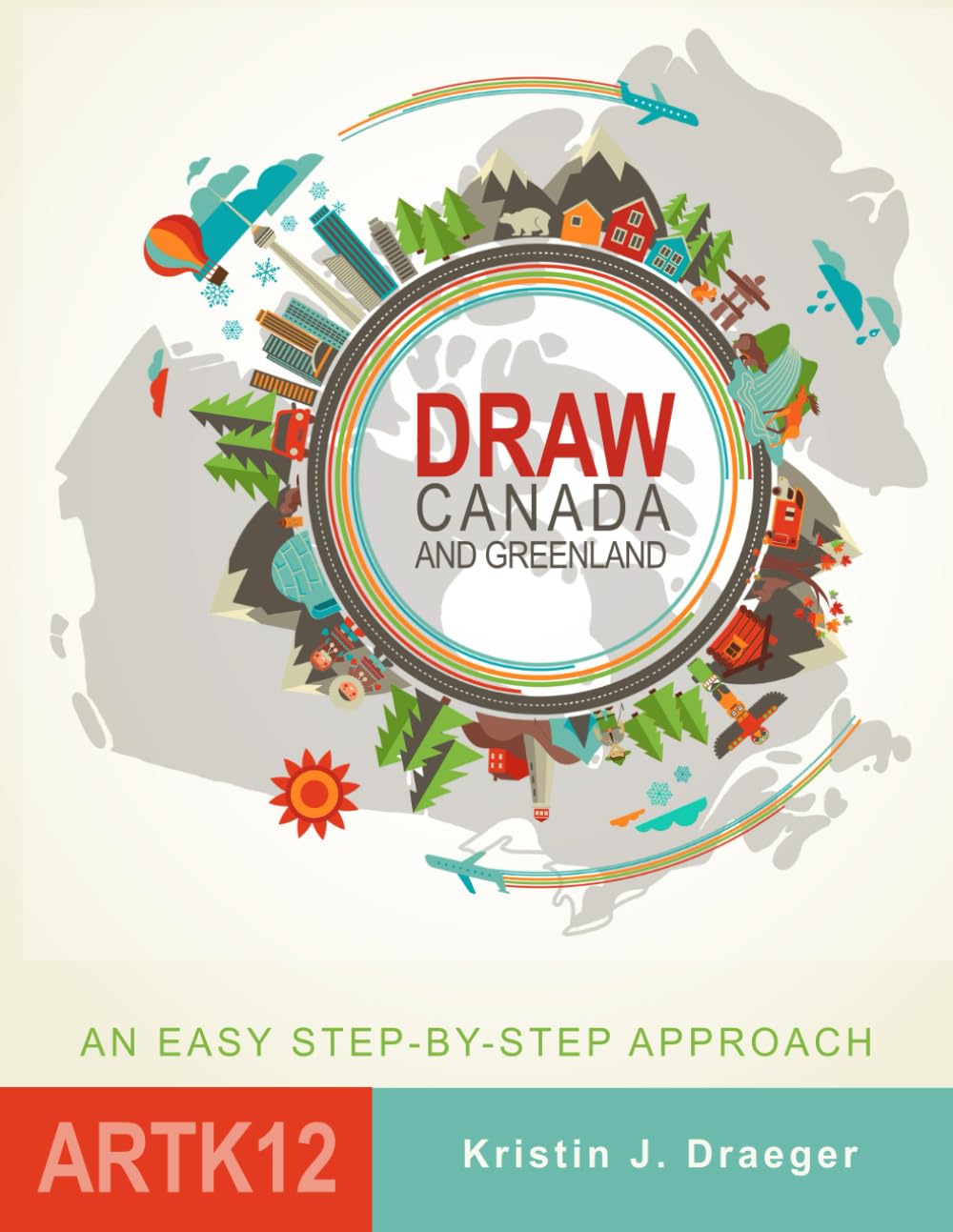
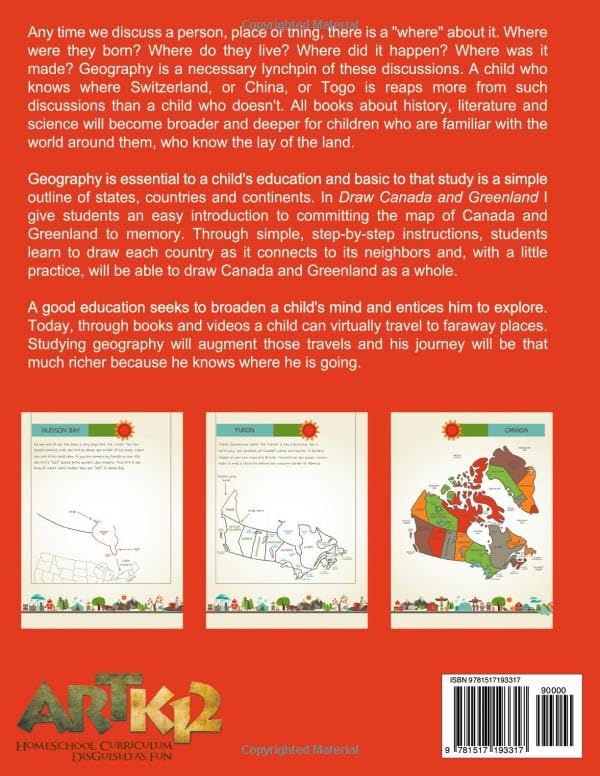
Geography is essential to a child’s education. And basic to that study is a simple outline of provinces, countries and continents. In Draw Canada and Greenland I have tried to give students an easy introduction to committing the map of Canada and Greenland to memory. Through simple, step-by-step instructions, kids learn to draw each province and territory as they connect to their neighbors and, with a little practice, will be able to draw Canada and Greenland as a whole. Education seeks to broaden a children’s minds, to entice them to explore. Through books, and videos kids can virtually travel to faraway places; studying geography will augment those travels and their journey will be that much richer because they know where they are going. By giving children a primer in the borders and locations of states, provinces and countries I hope to invite them further into the beautifully complicated world of geography.
Draw Canada and Greenland (Draw the World)
$18.99
This book teaches geography and fine motor skills through step-by-step instructions for drawing maps.
Additional information
| Weight | 0.249 lbs |
|---|---|
| Dimensions | 21.6 × 0.5 × 27.9 in |


Reviews
There are no reviews yet.