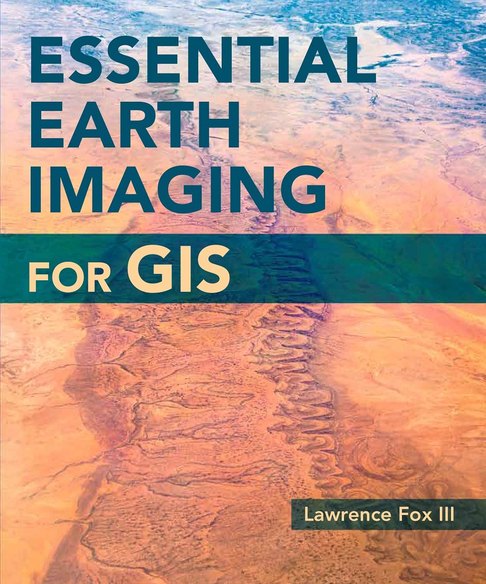
A guide to imaging technology and management, Essential Earth Imaging for GIS discusses characteristics of images obtained from aircraft and spacecraft, and how to enhance, register, and visually interpret multispectral imagery and point clouds. Geographic information system (GIS) professionals can use this book to learn about basic imaging technology. Students can use this book as a reference for introductory GIS courses that include multispectral image display and analysis.
Essential Earth Imaging for GIS
$41.38
This book serves as an educational guide to Earth imaging technology and analysis for students in introductory GIS courses.
Additional information
| Weight | 0.363 lbs |
|---|---|
| Dimensions | 19.1 × 1.3 × 22.9 in |


Reviews
There are no reviews yet.