
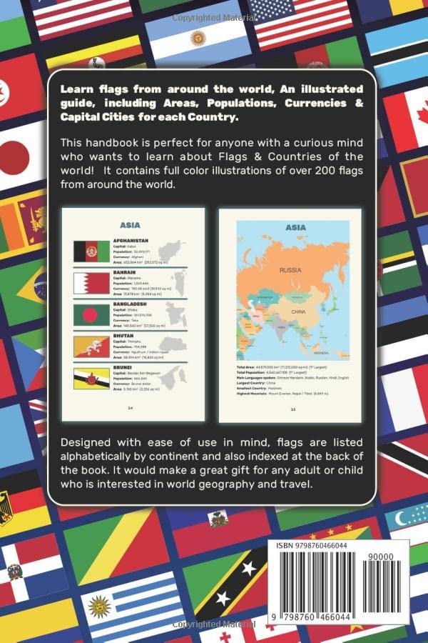
An uncomplicated handbook, perfect for anyone with a curious mind who wants to learn about Flags & Countries of the world! This book contains full color illustrations of over 200 flags from around the world. Designed with ease of use in mind, flags are listed alphabetically by continent and also indexed at the back of the book. It also includes details of Capital Cities, Population, Area, Currencies and the shape of each country. It would make a great gift for any adult or child who is interested in world geography and travel and is fully up to date using the latest available data. (November 2021) Suitable for all ages for school or home reference with a clear and simple premium full color layout, it includes a contents page and index to make it easy to find the flag you are interested in. It is a handy size (6 x 9″) suitable for school bags, backpacks, tote bags, desks and bookshelves. This handy reference contains: Flags of all independent countries of the world, listed alphabetically by continent Unofficial Flags of Antarctica Shapes of every country Flags of all US States Flags of the four nations of the UK: England, Scotland, Wales & Northern Ireland World Maps of North & South America, Africa, Asia, Europe and Oceania & Australia Capital Cities, Population, Area, Currencies for each country Population, Area and Most Spoken Languages for each continent

Flags & Countries of the World: Learn Flags From Around The World, Illustrated Guide With Population, Area, Currency & Capital City For Each Country
$7.99
This illustrated guide teaches world geography, including flags, countries, capitals, and other key data for educational reference.
Additional information
| Weight | 0.127 lbs |
|---|---|
| Dimensions | 15.2 × 0.3 × 22.9 in |


Reviews
There are no reviews yet.