
Each map has two sides. Side 1 includes: A colorful map of Iowa that includes all the major cities Origin of Iowa’s name History of Iowa’s flag and image of the flag Iowa’s statehood date Iowa state seal Side 2 includes: A black & white image of all of the counties in Iowa Each map is 8.5” X 11” and printed glossy paper.
Features
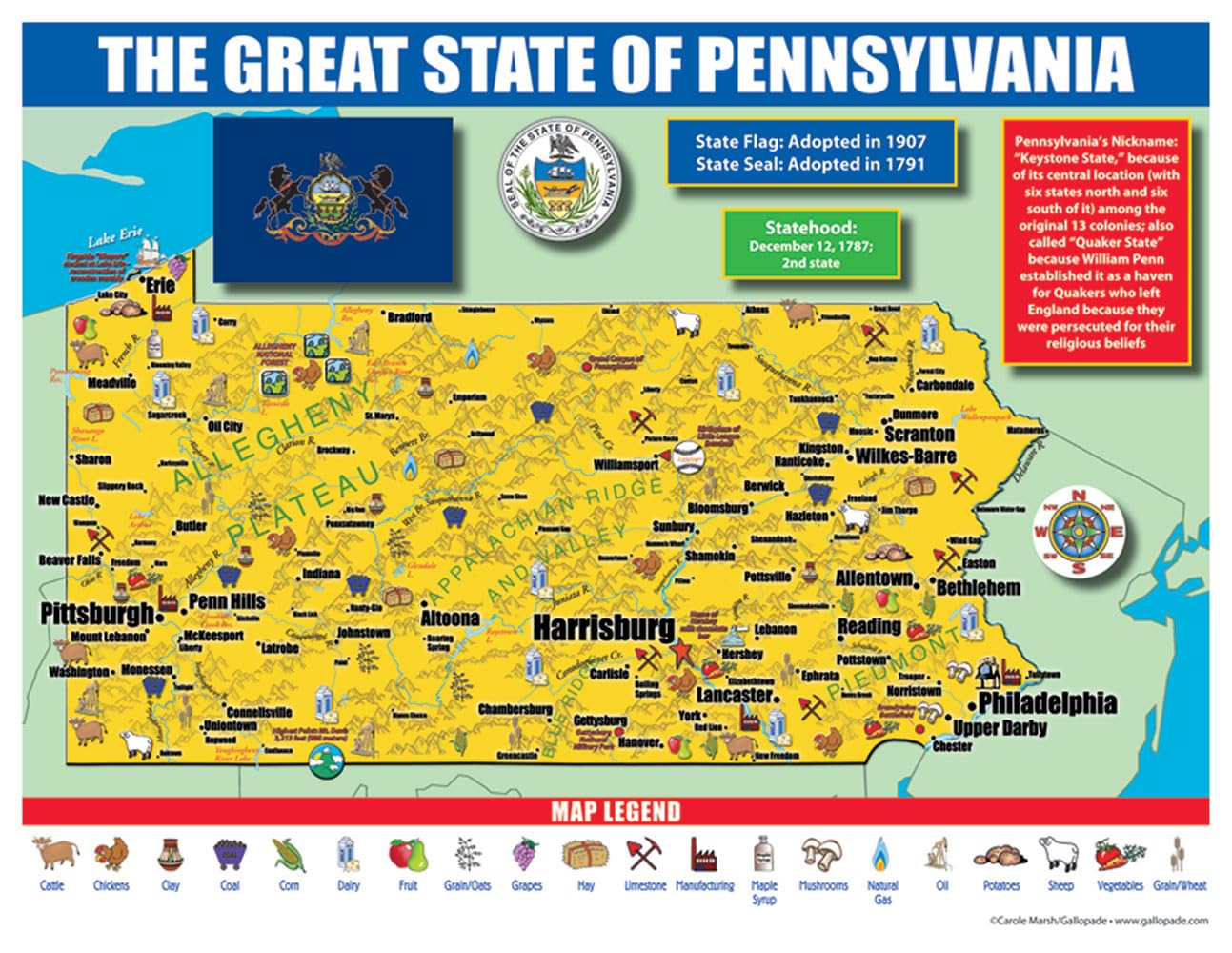
- Origin of Pennsylvania’s name History of Pennsylvania’s flag and image of the flag Pennsylvania’s statehood date Pennsylvania state seal
- Origin of Pennsylvania’s name History of Pennsylvania’s flag and image of the flag Pennsylvania’s statehood date Pennsylvania state seal
- Side 2 includes: A black & white image of all of the counties in Pennsylvania
- Each map is 8.5”X 11”and printed glossy paper.


![Wall Art Impact 24"x36" Thematic Map Map of Seattle Area [Laminated]](https://m.media-amazon.com/images/I/81EiGmJ-J4L.jpg)
Reviews
There are no reviews yet.