
Each map has two sides. Side 1 includes: A colorful map of California that includes all the major cities A map legend that includes where all the major industries are located throughout the state including: cattle seafood Indian Reservations manufacturing mining sugar tourism oranges/citrus veggies Origin of California’s name History of California’s flag and image of the flag California’s statehood date California state seal Side 2 includes: A black & white image of all of the counties in California Each map is 8.5” X 11” and printed glossy paper.
Features
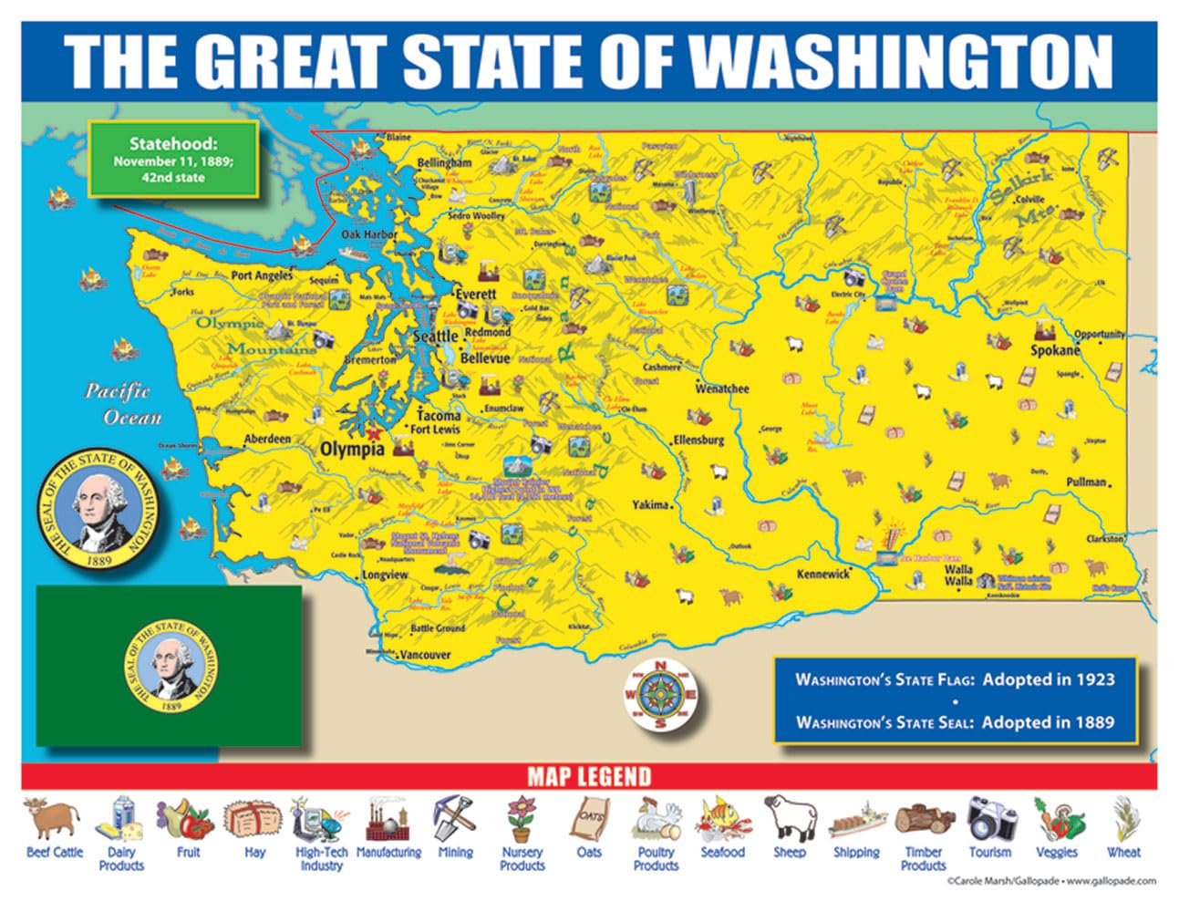
- Origin of Washington’s name History of Washington’s flag and image of the flag Washington’s statehood date Washington state seal
- Origin of Washington’s name History of Washington’s flag and image of the flag Washington’s statehood date Washington state seal
- Side 2 includes: A black & white image of all of the counties in Washington
- Each map is 8.5”X 11”and printed glossy paper.
![2 Pack - Giant World Map & US Map Poster Set - Extra Large Mega Chart of the World & United States - Laminated - 46" x 60" [Blue]](https://m.media-amazon.com/images/I/91LEEQUE1bL.jpg)


Reviews
There are no reviews yet.