
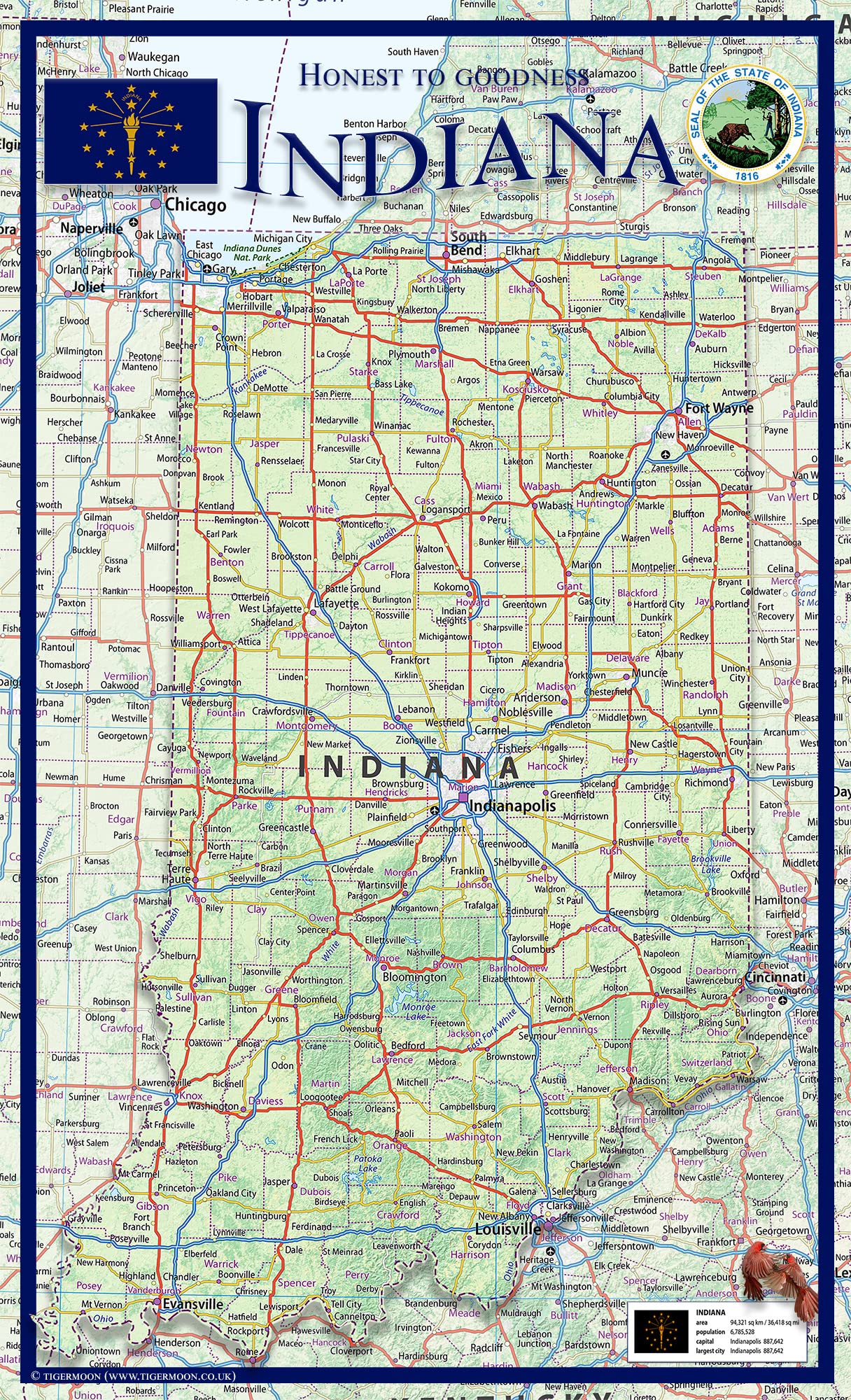
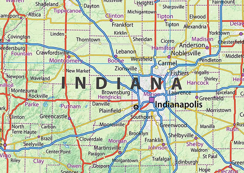
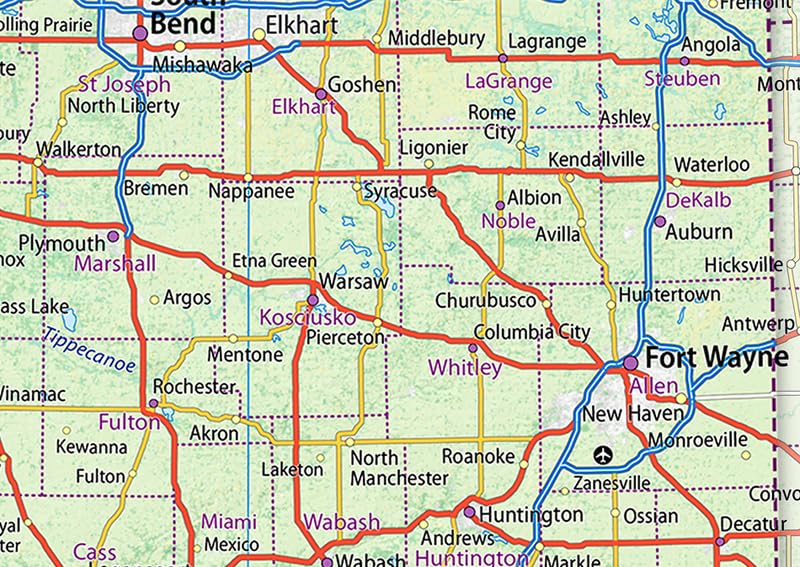
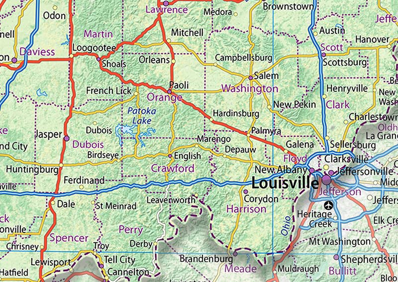
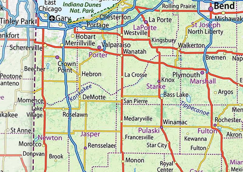
Indiana is a state in the Midwestern region of the United States. It borders Lake Michigan to the northwest, Michigan to the north and northeast, Ohio to the east, the Ohio River and Kentucky to the south and southeast, and the Wabash River and Illinois to the west. This physical map of Indiana presents key information such as the capital cities, population, area size, and largest city, plus locations of airports, major highways, state boundaries, and populated areas. In addition, the map includes bodies of water and points of interest such as national and state parks, forests, cultural sites, and more.
Features
- Indiana is a state in the Midwestern region of the United States. It borders Lake Michigan to the northwest, Michigan to the north and northeast, Ohio to the east, the Ohio River and Kentucky to the south and southeast, and the Wabash River and Illinois to the west.
- This physical map of Indiana presents key information such as the capital cities, population, area size, and largest city, plus locations of airports, major highways, state boundaries, and populated areas. In addition, the map includes bodies of water and points of interest such as national and state parks, forests, cultural sites, and more.
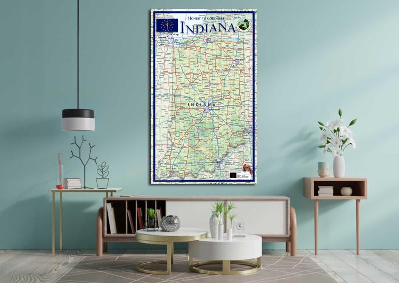
- Size – 14.2 x 23.3 Inches
- Printed onto a high quality paper and laminated for durability.

![Wall Art Impact 24"x34" Poster Topographic Map Us Geological Survey [Laminated]](https://m.media-amazon.com/images/I/81lShKnjk2L.jpg)

Reviews
There are no reviews yet.