
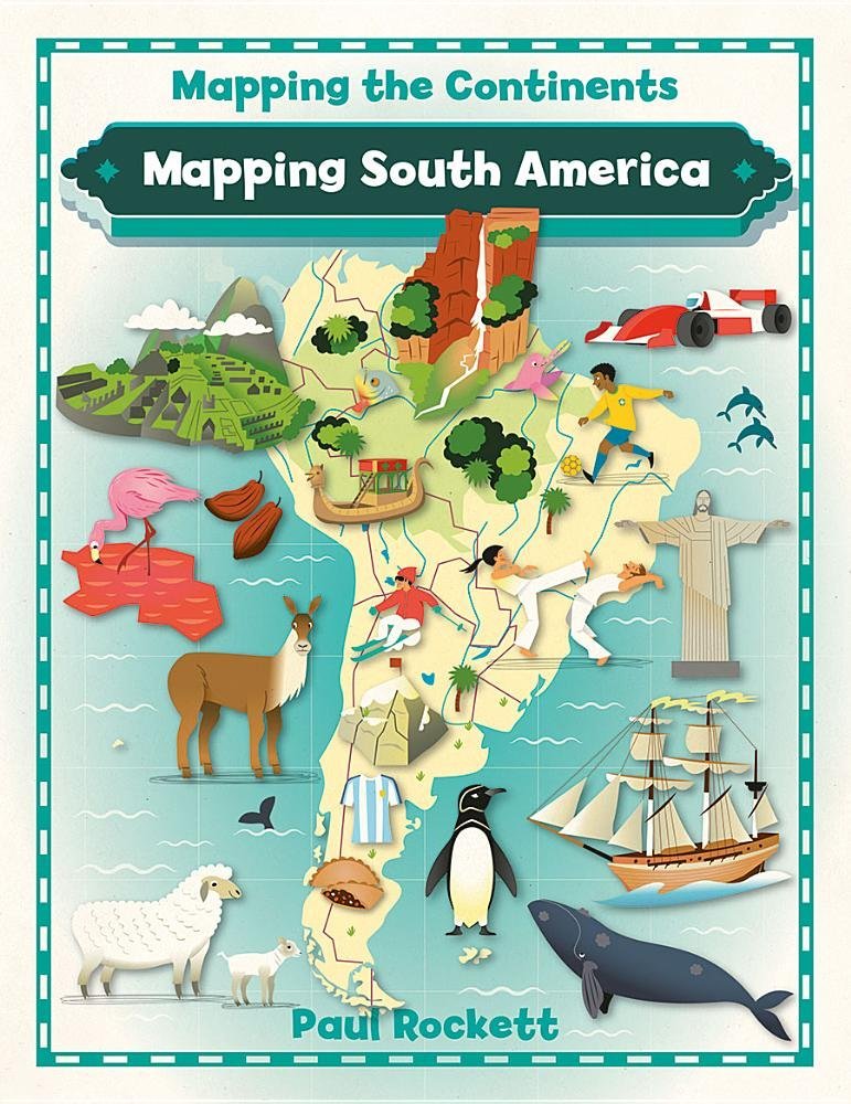
Detailed photos and full-color maps help take readers on a fascinating visual journey through South America! This book’s appealing format highlights the facts about the human and physical geography of the continent. Readers will put their analytical skills to use to interpret different types of maps as sources of information, from physical maps that show the region’s landmarks to political maps that teach about the region’s countries to interesting cultural and thematic maps.
Mapping South America (Mapping the Continents)
$30.60
This book teaches students about the human and physical geography of South America through the use and interpretation of various maps.
Additional information
| Weight | 0.408 lbs |
|---|---|
| Dimensions | 22.2 × 1.3 × 27.9 in |
Related products


Mapping South America (Mapping the Continents)
$9.95
This book uses maps and photos to teach students about the geography of South America.
Detailed photos and full-color maps help take readers on a fascinating visual journey through South America! This book’s appealing format highlights the facts about the human and physical geography of the continent. Readers will put their analytical skills to use to interpret different types of maps as sources of information, from physical maps that show the region’s landmarks to political maps that teach about the region’s countries to interesting cultural and thematic maps.
Additional information
| Weight | 0.145 lbs |
|---|---|
| Dimensions | 21.6 × 0.6 × 27.3 in |
Reviews
There are no reviews yet.


Reviews
There are no reviews yet.