


Features
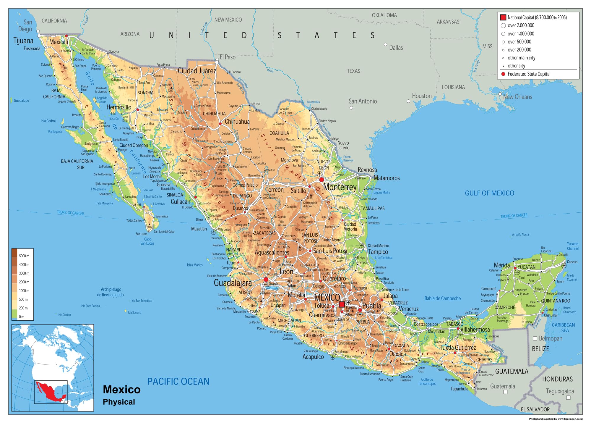
- Mexico, the United Mexican States, is a country in southerly North America. To the north lies the US; the Pacific Ocean and Guatemala, Belize and the Caribbean Sea to the south and west; and the Gulf of Mexico to the east. The stately nation is a federal republic made up of 31 states and Mexico City, the capital. Mexico is a major traveller’s destination, boasting a dynamic culture, vibrant ecosystems and diverse climates galore!
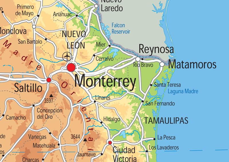
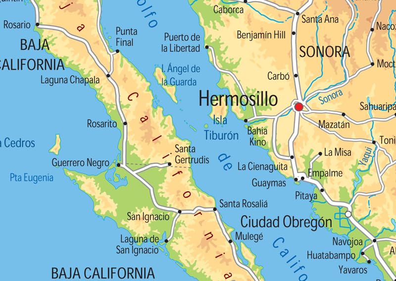
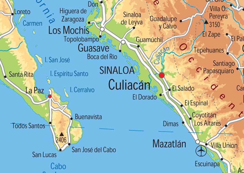
- In 2018, it was the 6th most-visited spot on the planet, with a whopping 39 million international visitors. Our Physical Map of Mexico showcases its geography, with captivating colors, easy-to-read text, and features like capital cities, rivers, major roads, towns, and bodies of water. It’s perfect for any room, office, or school, and a great way to gain a comprehensive view of the country. With vivid details, you’ll get an unparalleled understanding of Mexico!
- Size – 16.53 x 23.38 inches.
- Printed on high quality paper which is then finished with a durable gloss laminate.


Reviews
There are no reviews yet.