
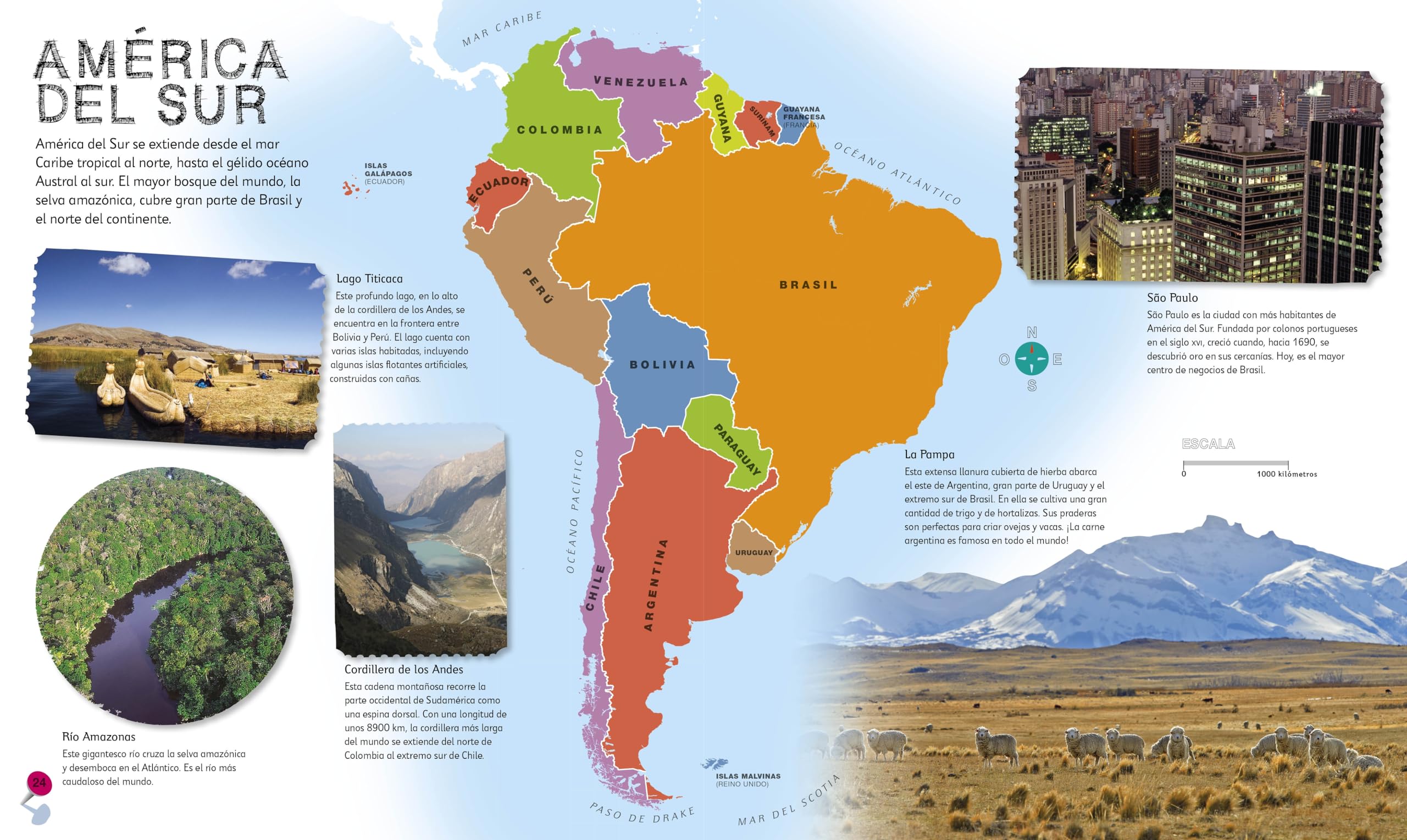
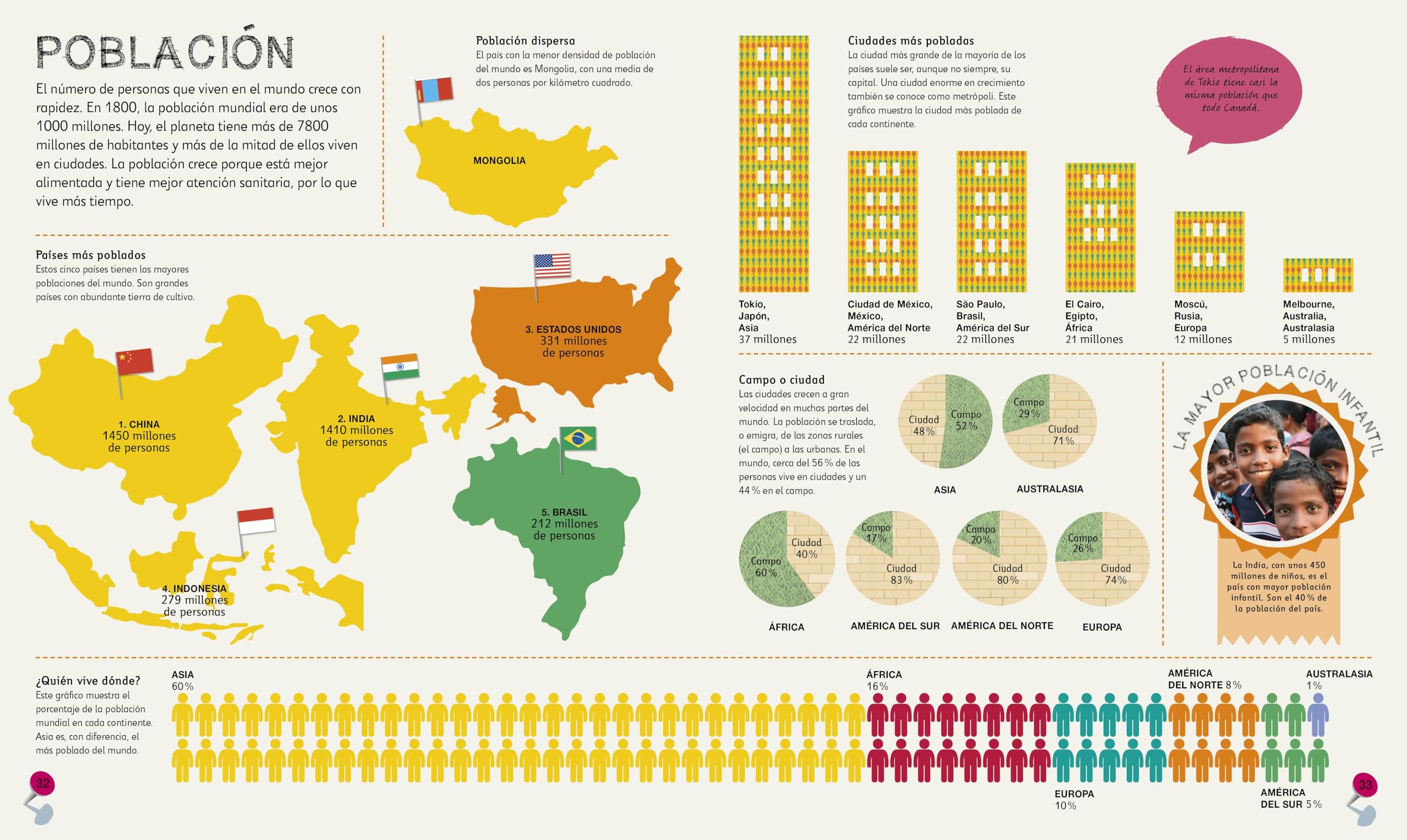
Complementa el plan de estudios escolar. – Incluye mas de 50 mapas del mundo con paises y continentes detallados y a todo color. – Datos y cifras breves y directos sobre cada pais, faciles de entender para los ninos. – Incluye un mapa del mundo ilustrado que puede utilizarse como poster facilitando asi el aprendizaje de todos los paises. !Descubre el mundo con este emocionante atlas, que incluye mas de 50 mapas! Cada pagina esta llena de informacion fascinante y espectaculares ilustraciones. Embarcate en un emocionante viaje alrededor del mundo y aprendelo todo sobre los paises, culturas, personas y animales de nuestro planeta. El libro tambien incluye un mapa politico de cada continente. !Aprenderas como leer un mapa y como usar una brujula y una escala! ———————————————————————————————————— – Supports the classroom curriculum. – Includes more than 50 maps of the world, featuring countries and continents in full color detail. – Bite-sized facts and figures about each country are easy for a child to understand. – Includes a map of the world, an excellent resource that will help learning all the countries. It brings the world to life with colorful maps and fascinating facts about the countries of the world. Each map is bursting with information, combining colorful icons with photographs representing key points about each country. Includes a world map, with a political map for each continent.
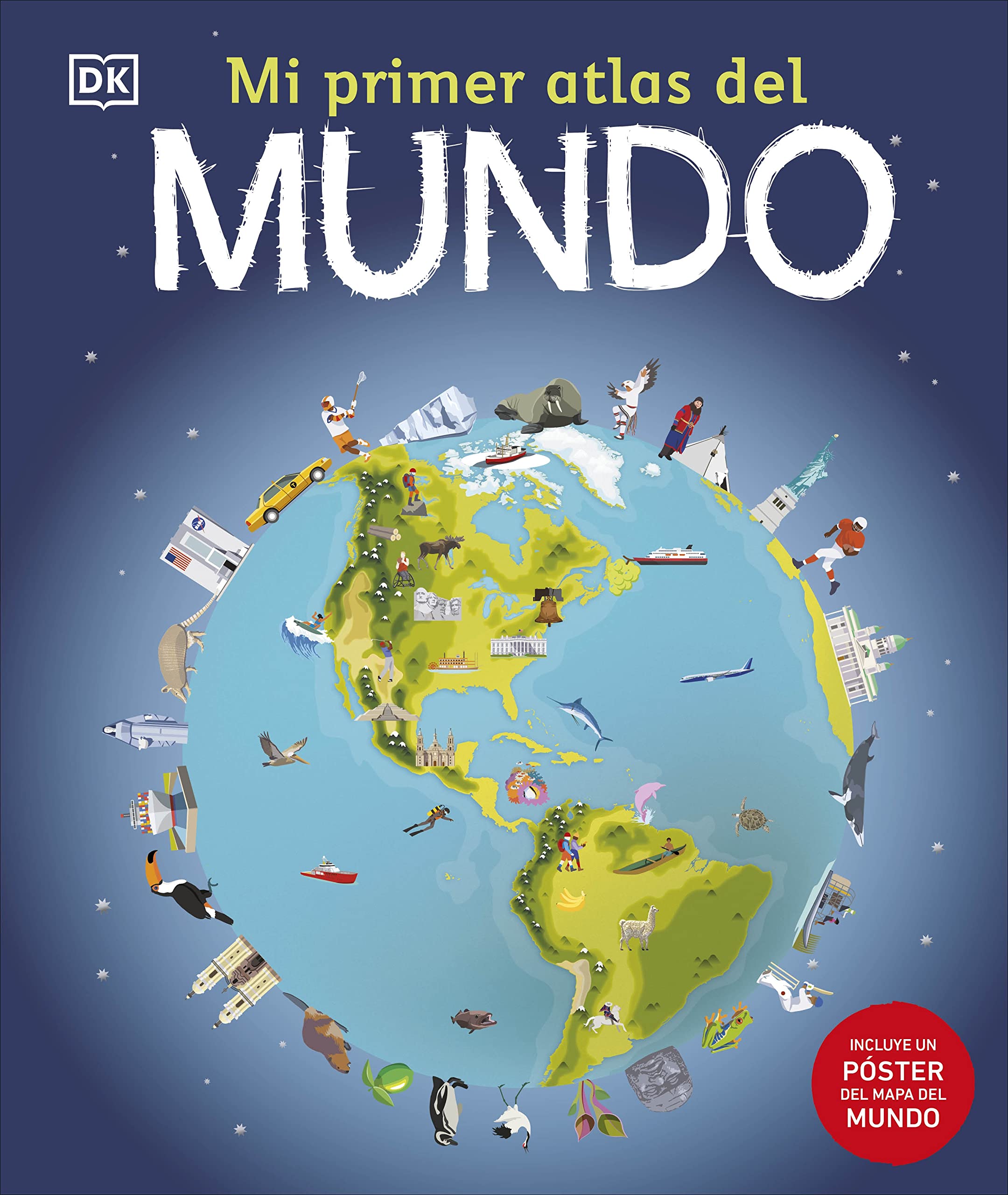
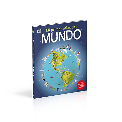
Mi primer atlas del mundo (Children’s Illustrated Atlas) (Spanish Edition)
$12.13
This illustrated atlas helps young children learn geography, including countries, continents, and how to read maps.
Additional information
| Weight | 0.907 lbs |
|---|---|
| Dimensions | 26.2 × 1.4 × 31.3 in |


Reviews
There are no reviews yet.