
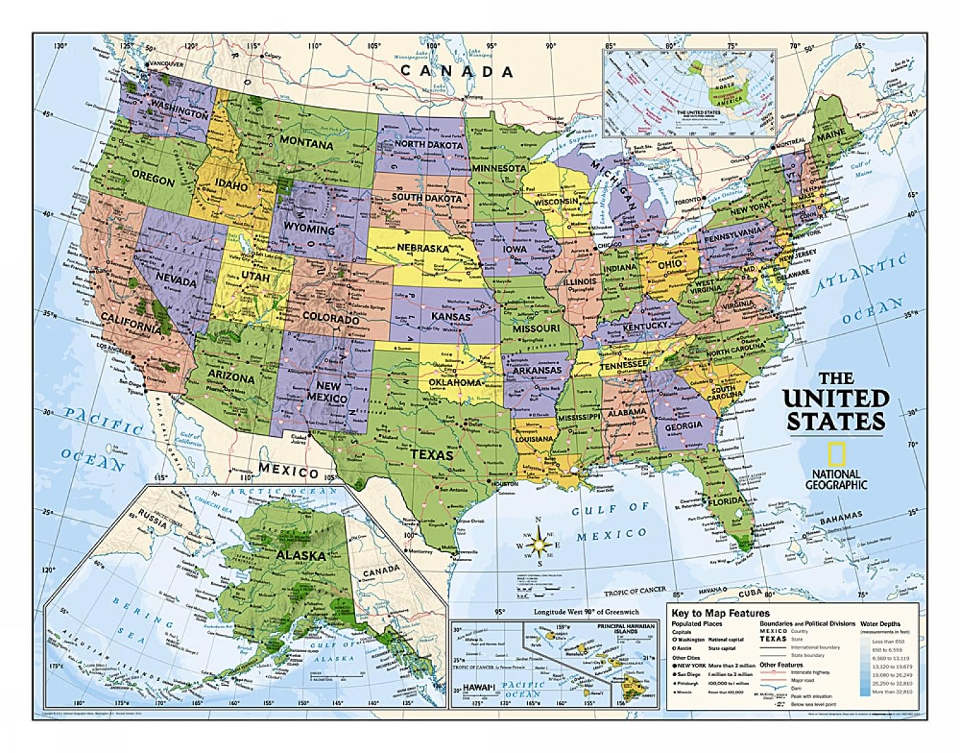
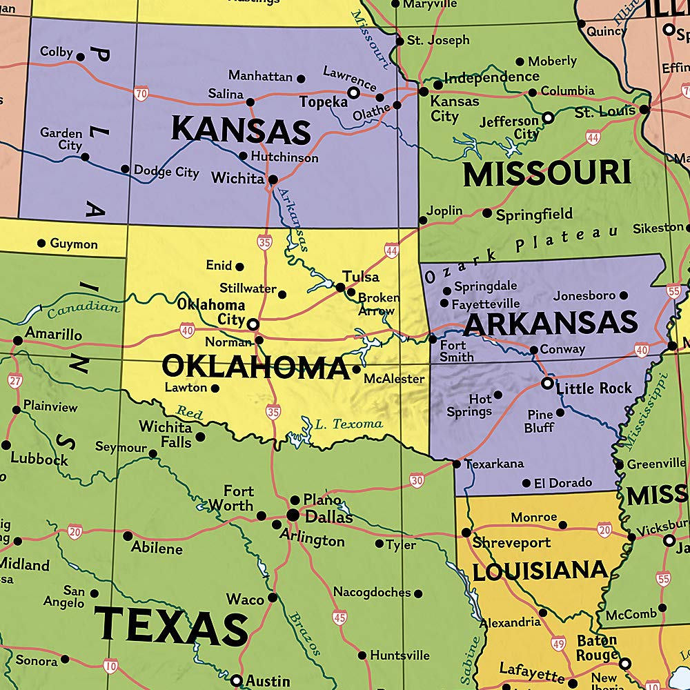
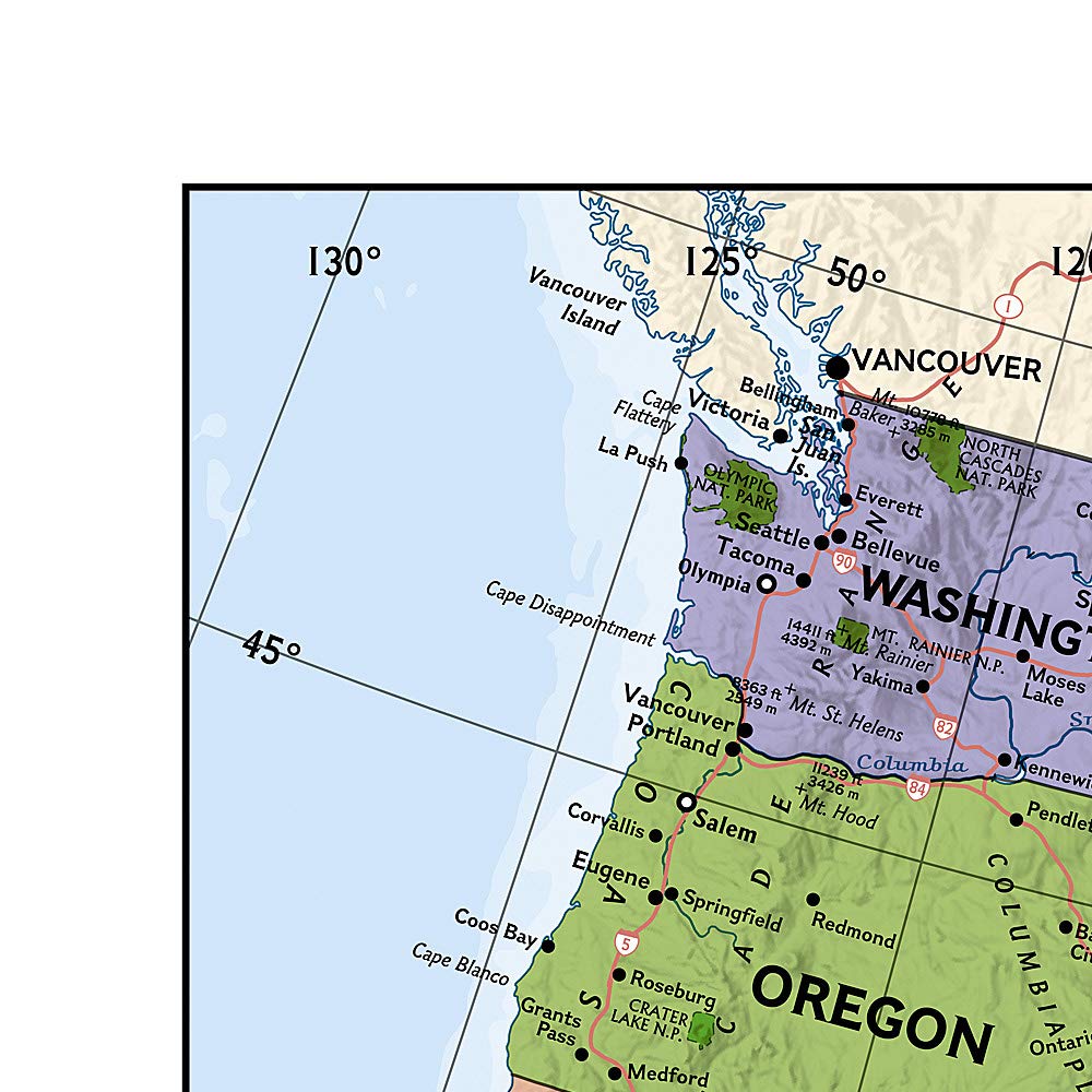
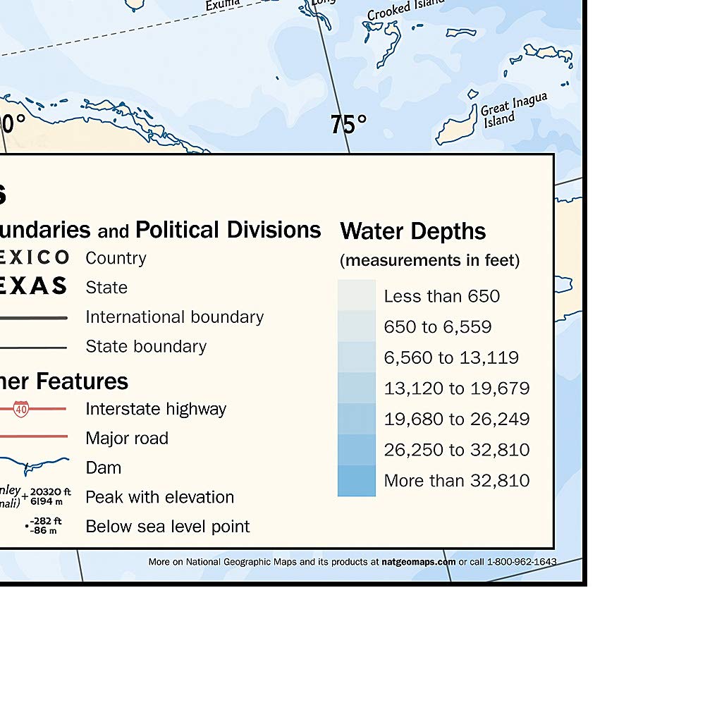
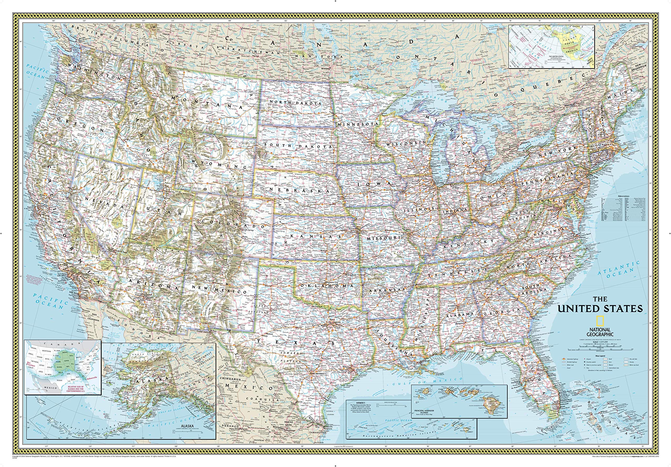
Political map of the United States for grades 4-12. National Geographic’s graded-series of maps are the first to address the unique needs of K-12 students as they advance their understanding of our World. Unlike other classroom poster maps, the world maps use the Winkel-Triple projection, which provides the best combination of size, shape, and distance giving the student the best visual representation of the Earth’s surface in two dimensions. This solves the effect seen on other maps where Greenland appears larger than South America. Our Political Series, grades 4-12, has up-to-date World and U.S. maps, increasing the detail of information for the teacher and student to utilize. Map Scale = 1:4,288,000 Sheet Size = 51″ x 40″
National Geographic: Kids Political USA Education: Grades 4-12 Wall Map – Laminated (51 x 40 inches) (National Geographic Reference Map)
$29.95
This political map of the United States is a valuable resource for teaching US geography, civics, and social studies to students.
Additional information
| Weight | 0.3 lbs |
|---|---|
| Dimensions | 8 × 8 × 110.5 in |


Reviews
There are no reviews yet.