
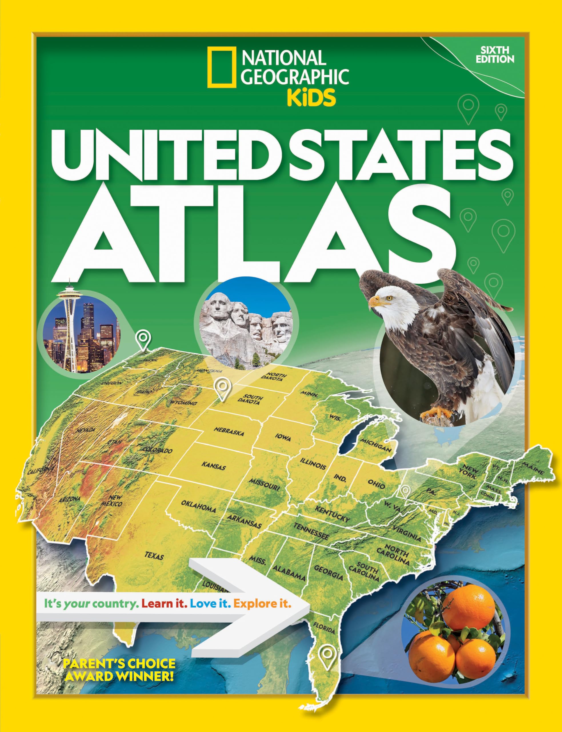
Current, authoritative, and produced by the expert cartographers at National Geographic, this best-selling United States atlas is newly updated with all the latest info–sure to be welcome in libraries, classrooms, and homes. Kids will have fun learning about each and every U.S. state in this amazing 6th edition atlas, packed with maps, stats, facts, and pictures. National Geographic’s world-renowned cartographers have paired up with education experts to create maps of all 50 states, U.S. territories, and Washington, D.C., that pinpoint the physical features, capitals, and other towns and cities. Discover the latest data along with colorful photography of each state and the people who live there. Key points reflect the latest information about land and water, people, and places. Lively essays cover each region of the country. Eight specially themed maps on nature, population, economy, energy, climate, and more delve deeper into key issues. State birds and state flags add to the high visual interest. This is a great reference for home and school with all the basics kids need to know to succeed in middle school, high school, and beyond.


National Geographic Kids U.S. Atlas 2020, 6th Edition
$15.75
This U.S. atlas serves as a key reference tool for students to learn about American geography, demographics, and economics.
Additional information
| Weight | 0.765 lbs |
|---|---|
| Dimensions | 23.1 × 1 × 30.2 in |
Related products


National Geographic Kids U.S. Atlas 2020, 6th Edition
$33.60
This atlas serves as a valuable reference for U.S. geography, helping students learn about states, capitals, and regional characteristics.
Current, authoritative, and produced by the expert cartographers at National Geographic, this best-selling United States atlas is newly updated with all the latest info–sure to be welcome in libraries, classrooms, and homes. Kids will have fun learning about each and every U.S. state in this amazing 6th edition atlas, packed with maps, stats, facts, and pictures. National Geographic’s world-renowned cartographers have paired up with education experts to create maps of all 50 states, U.S. territories, and Washington, D.C., that pinpoint the physical features, capitals, and other towns and cities. Discover the latest data along with colorful photography of each state and the people who live there. Key points reflect the latest information about land and water, people, and places. Lively essays cover each region of the country. Eight specially themed maps on nature, population, economy, energy, climate, and more delve deeper into key issues. State birds and state flags add to the high visual interest. This is a great reference for home and school with all the basics kids need to know to succeed in middle school, high school, and beyond.
Additional information
| Weight | 1.174 lbs |
|---|---|
| Dimensions | 24.1 × 1.8 × 31 in |
Reviews
There are no reviews yet.
Related products


National Geographic Kids U.S. Atlas 2020, 6th Edition
$24.65
This atlas serves as a valuable reference for U.S. geography, helping students learn about states, capitals, and regional characteristics.
Current, authoritative, and produced by the expert cartographers at National Geographic, this best-selling United States atlas is newly updated with all the latest info–sure to be welcome in libraries, classrooms, and homes. Kids will have fun learning about each and every U.S. state in this amazing 6th edition atlas, packed with maps, stats, facts, and pictures. National Geographic’s world-renowned cartographers have paired up with education experts to create maps of all 50 states, U.S. territories, and Washington, D.C., that pinpoint the physical features, capitals, and other towns and cities. Discover the latest data along with colorful photography of each state and the people who live there. Key points reflect the latest information about land and water, people, and places. Lively essays cover each region of the country. Eight specially themed maps on nature, population, economy, energy, climate, and more delve deeper into key issues. State birds and state flags add to the high visual interest. This is a great reference for home and school with all the basics kids need to know to succeed in middle school, high school, and beyond.
Additional information
| Weight | 1.151 lbs |
|---|---|
| Dimensions | 24.1 × 1.8 × 31 in |
Reviews
There are no reviews yet.


Reviews
There are no reviews yet.