
TI00000145 Features: -Waterproof and tear resistant. -Provides valuable wilderness tips and Leave No Trace guidelines, along with updated trails, trailheads, points of interest, campgrounds and much mor. -Lat./Lon. And UTM compatible. -Revised regularly. Continent: -North America. US State: -Colorado. Dimensions: Overall Height – Top to Bottom: -22 Inches. Overall Width – Side to Side: -32 Inches. Overall Product Weight: -0.5 Pounds.
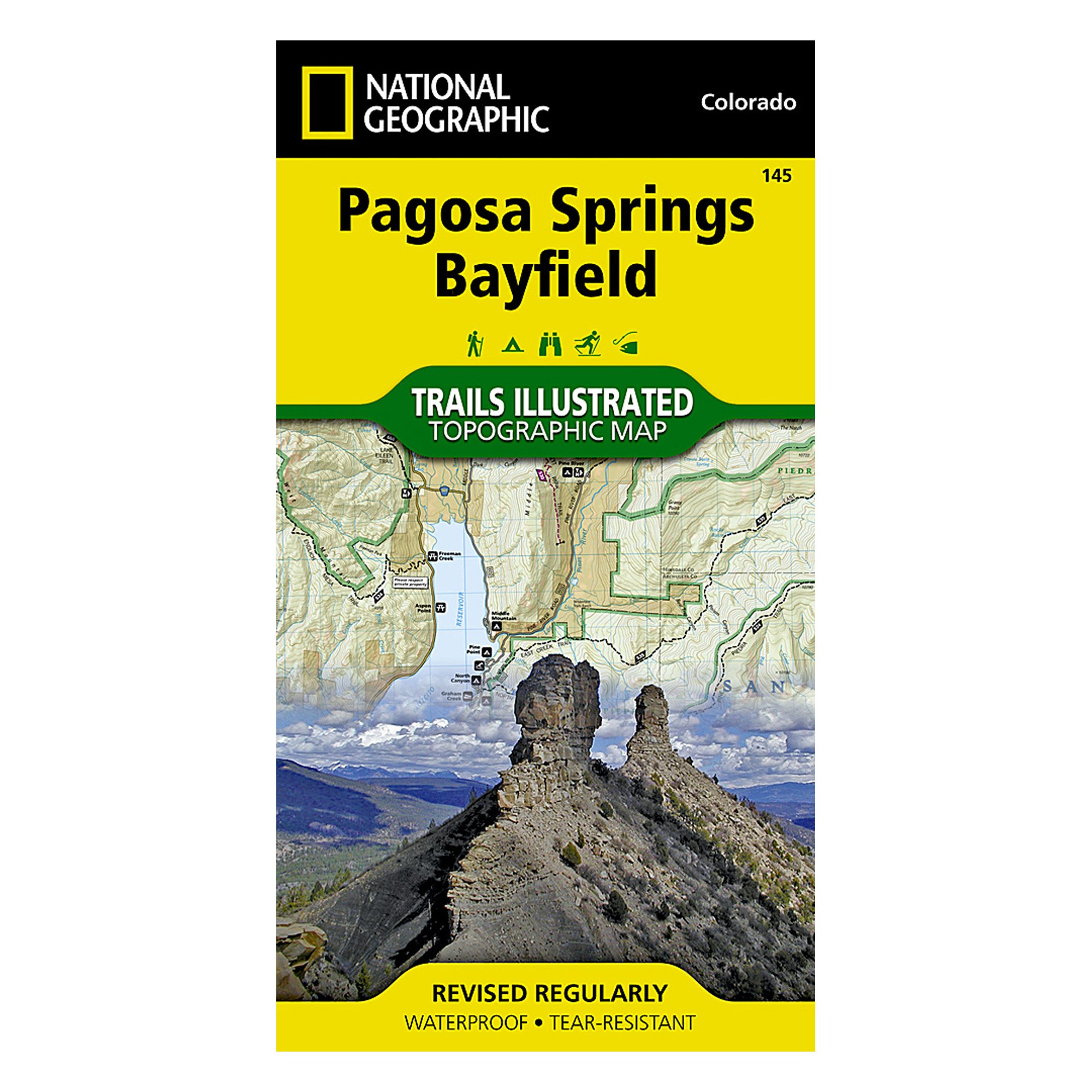
National Geographic Maps Trails Illustrated Map Pagosa Springs/Bayfield
$14.29
This detailed map supports geography lessons, map-reading skills, and environmental science studies.


![Wall Art Impact 34"x24" Poster Large scale detailed political map of Oceania with major cities and capitals - 1982 Oceania [Laminated]](https://m.media-amazon.com/images/I/61Py1032UML.jpg)

Reviews
There are no reviews yet.