
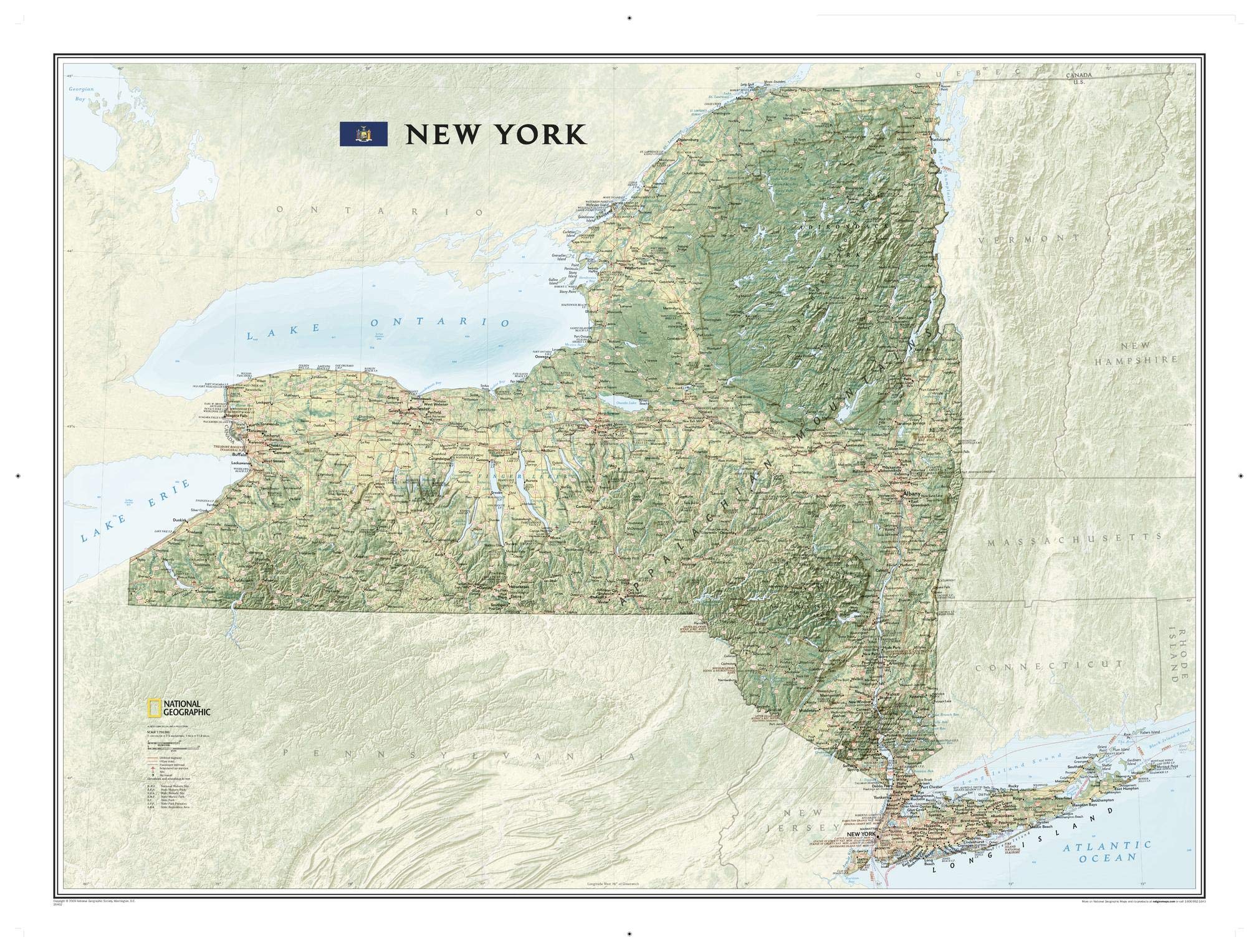
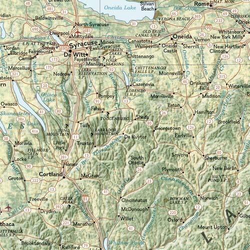
National Geographic’s wall map of New York brings the rich and diverse topography of the state to life in elegant detail. Stunning shaded relief and vibrant colorization distinguishes mountain ranges, forests, valleys, and other physical topography. Prominent peaks, major lakes, rivers, and reservoirs, and other geographic features are highlighted. In addition to hundreds of place names, this map includes the precise locations of cities, major roadways and railways, airports, ski resorts, and national and state parks. The Appalachian National Scenic Trail, a 2,180+ mile long public footpath that runs through fourteen eastern states is shown where it passes through New York as well. This striking map would be an attractive addition to any study or office. The map is packaged in a two inch diameter tube with a label showing a thumbnail of the map with dimensions and other pertinent information. Map Scale = 1:750,000 Sheet Size = 40.5″ x 30.25″
National Geographic New York Wall Map (40.5 x 30.25 in) (National Geographic Reference Map)
$24.95
This New York wall map serves as a visual aid for students to learn about the state’s geography, cities, and physical topography.
Additional information
| Weight | 0.202 lbs |
|---|---|
| Dimensions | 101 × 76 × 6 in |


Reviews
There are no reviews yet.