

Features
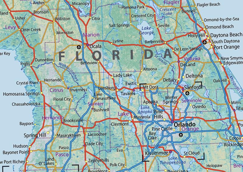
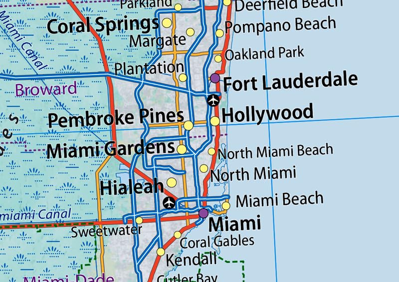
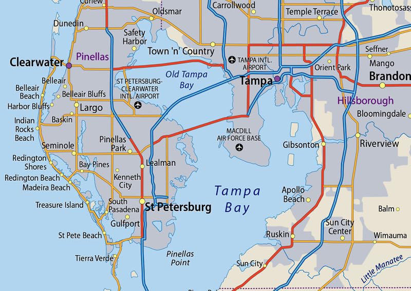
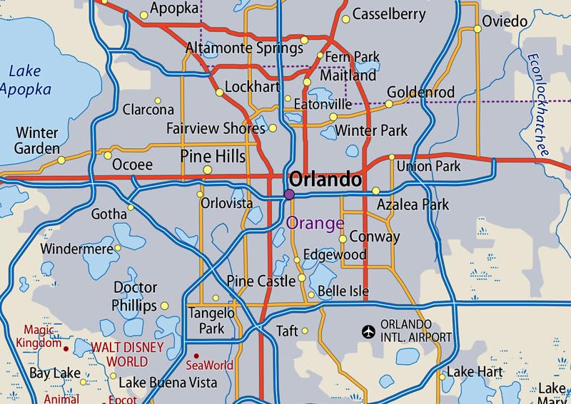
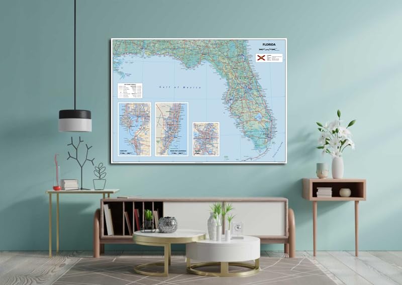
- Discover the amazing USA state of Florida with a detailed and informative physical map! Home to over 21 million proud residents, Florida is the 3rd most populous state of America. Its capital, Tallahassee, and largest city, Jacksonville, are clearly marked on the map. Additionally, the bustling Miami metropolitan area (population 6.2 million) is also featured.
- The map includes capital and city locations, total area and population, freeways, highways, county boundaries, international borders, and major airports. This map is perfect for families, vacationers, and business travelers. You’ll be able to travel confidently and explore the Sunshine State with ease. It’s the ideal resource to help you smile and discover new adventures.
- Size – 23.3 x 16.5 Inches
- Printed onto a high quality paper and laminated for durability.

![Wall Art Impact 24"x36" Thematic Map Map of Seattle Area [Laminated]](https://m.media-amazon.com/images/I/81EiGmJ-J4L.jpg)


Reviews
There are no reviews yet.