

Features
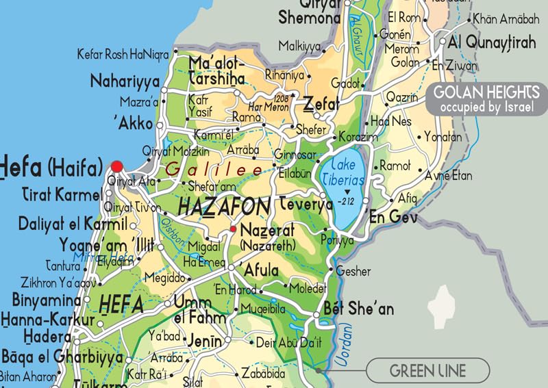
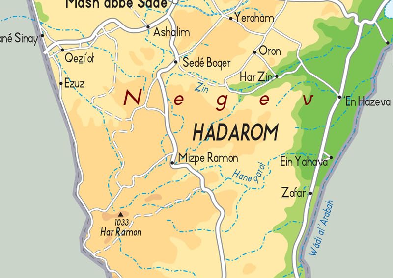
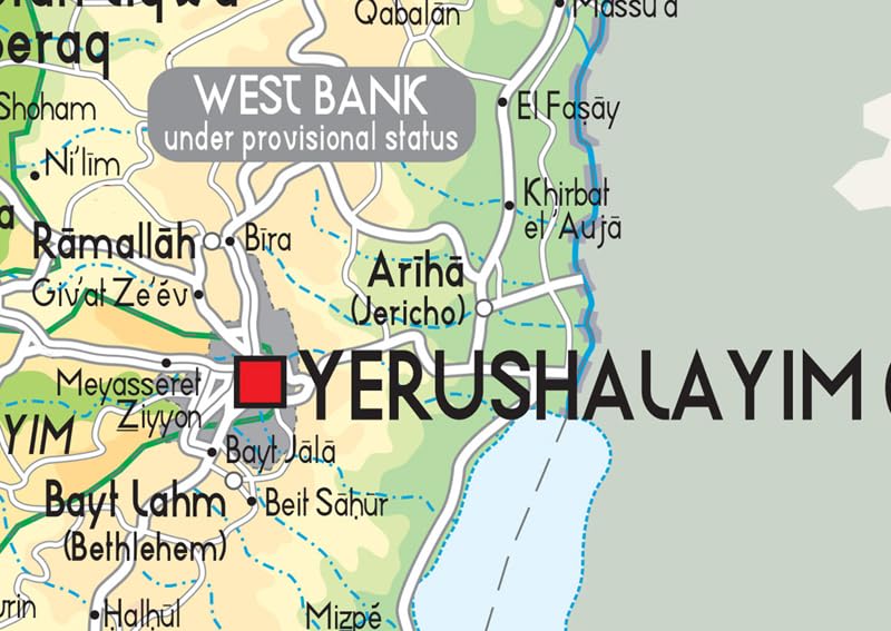
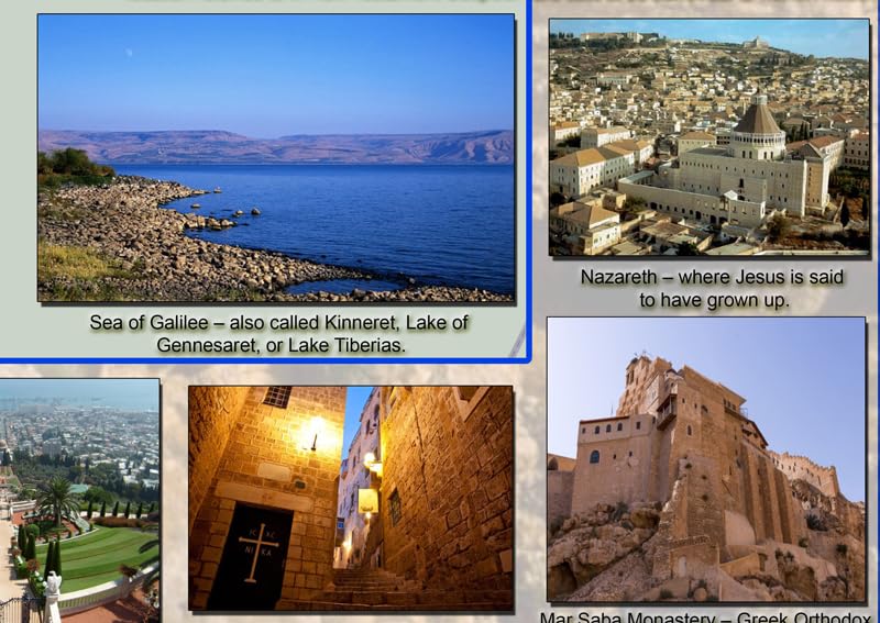
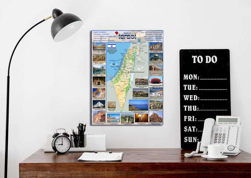
- This highly-detailed illustrated map of Israel showcases the physical features of the country, featuring city names, bodies of water, and pictorial representations of popular destinations such as Bethlehem, Masada, Nazareth, and The Dome of the Rock.
- The clear text and vibrant colors make the map easy to read. The map provides an invaluable visual reference for anyone looking to explore Israel, understand the country’s geography, or trace the origin of their family’s roots.
- Size – 23.4 x 16.5 inches.
- Printed on high quality paper which is then finished with a durable gloss laminate.


Reviews
There are no reviews yet.