
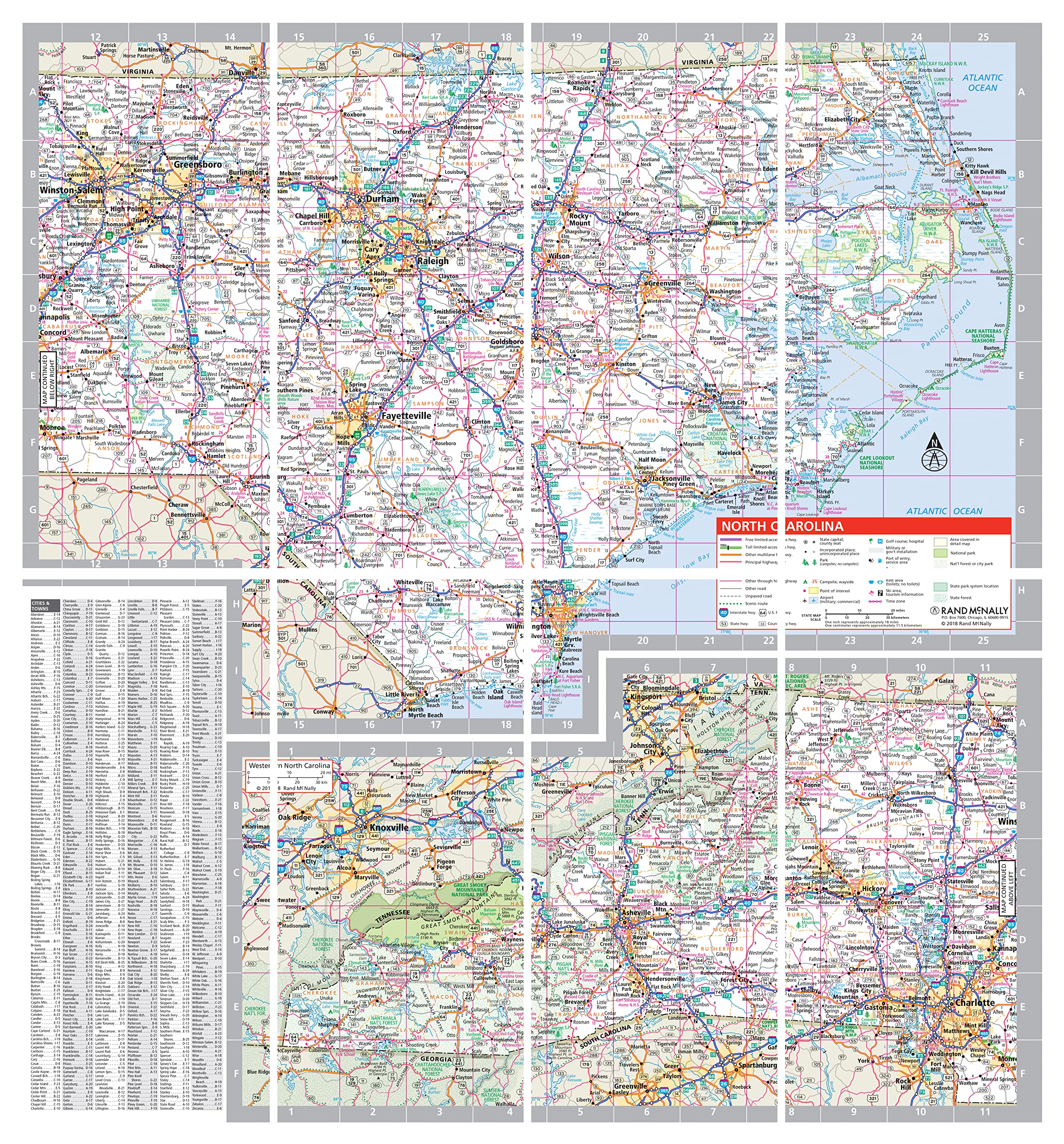
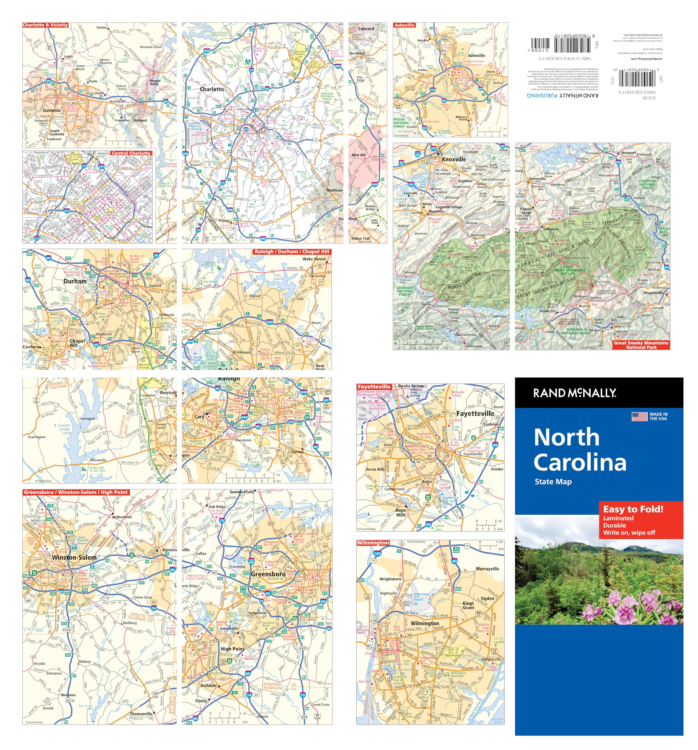
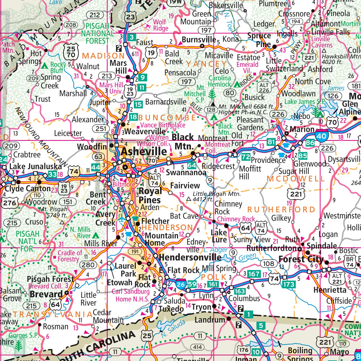
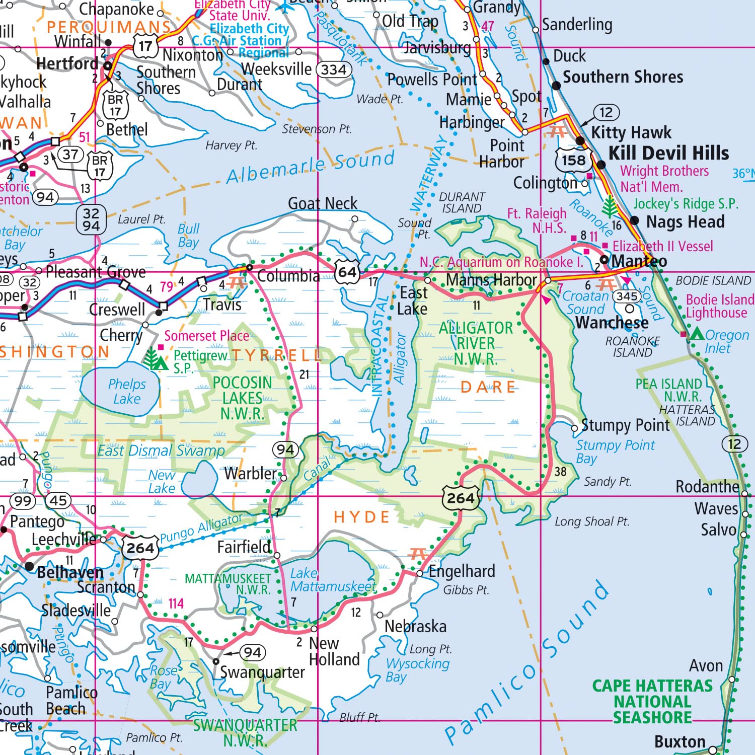
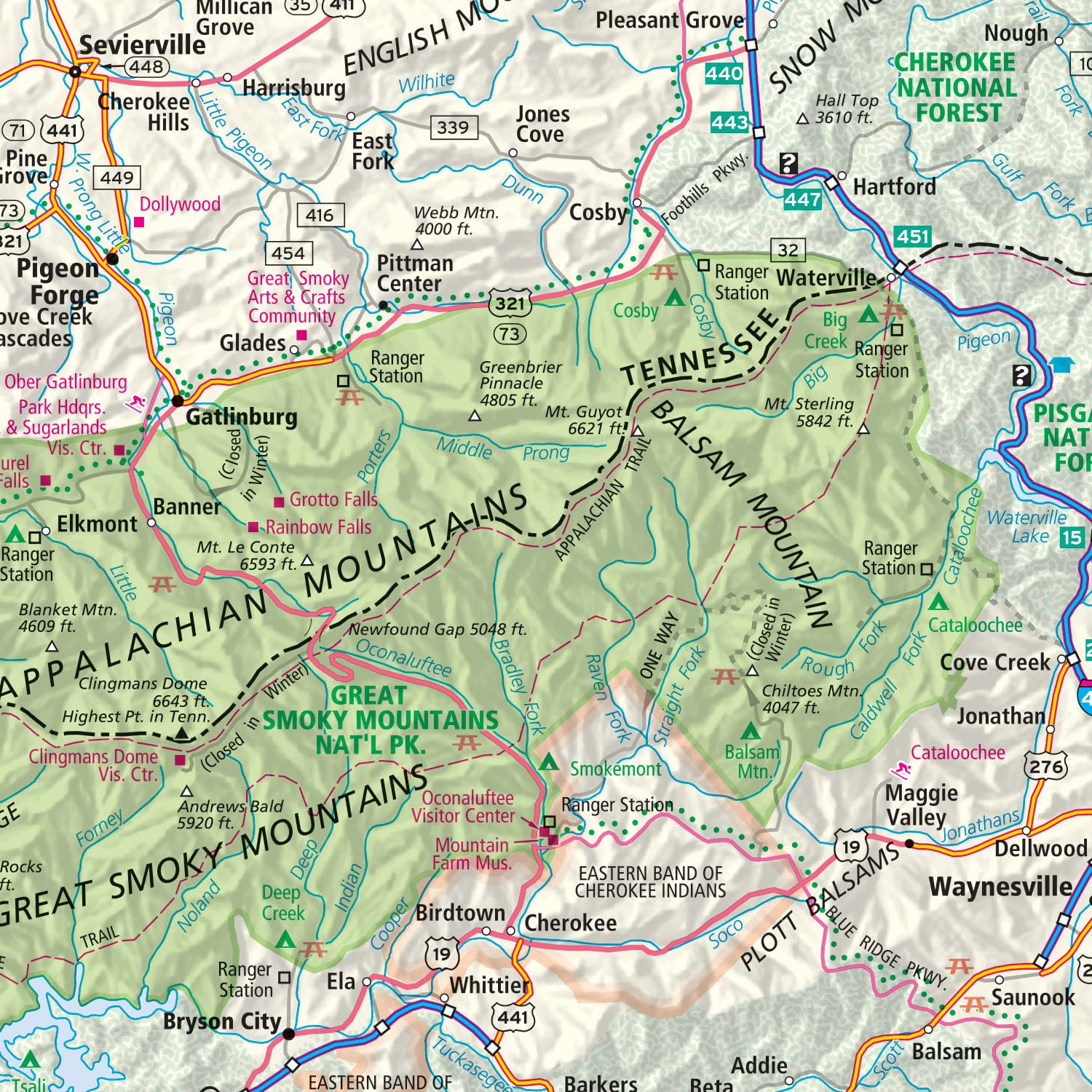
The durable and convenient North Carolina Easy To Fold state map will take all the wear and tear your journey can dish out. The heavy-duty laminated design allows you to mark your route, make notes, then wipe the surface clean for further use. This is a must-have for navigation whether you’re a state resident or just passing through. – Easy to fold means no fumbling. – Heavy-duty lamination allows you to write on, wipe off. – Durable and tear resistant. – Folds to display individual map sections. – Full-color maps with enhanced cartography. – Clearly indicated highways, county boundaries, points of interest, and more. – Quick-reference legend and city index. Product Details: Dimensions: 9″ x 4.25″ folded; 18″ x 17″ unfolded.
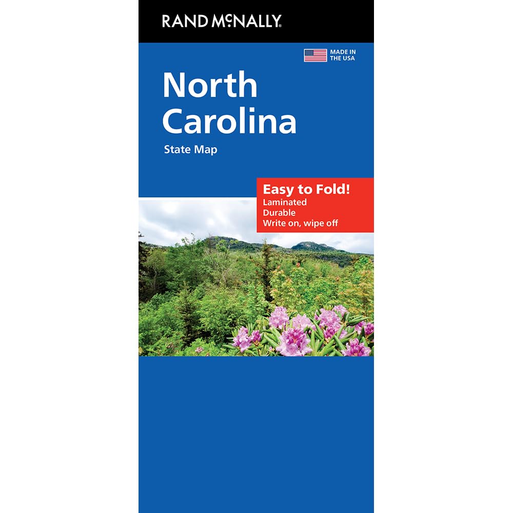
Rand McNally Easy to Fold: North Carolina Laminated Map
$9.30
This durable, laminated map provides a visual and geographical reference for studying the state of North Carolina, its major cities, and transportation routes.
Additional information
| Weight | 0.136 lbs |
|---|---|
| Dimensions | 22.6 × 1.6 × 10.2 in |


Reviews
There are no reviews yet.