
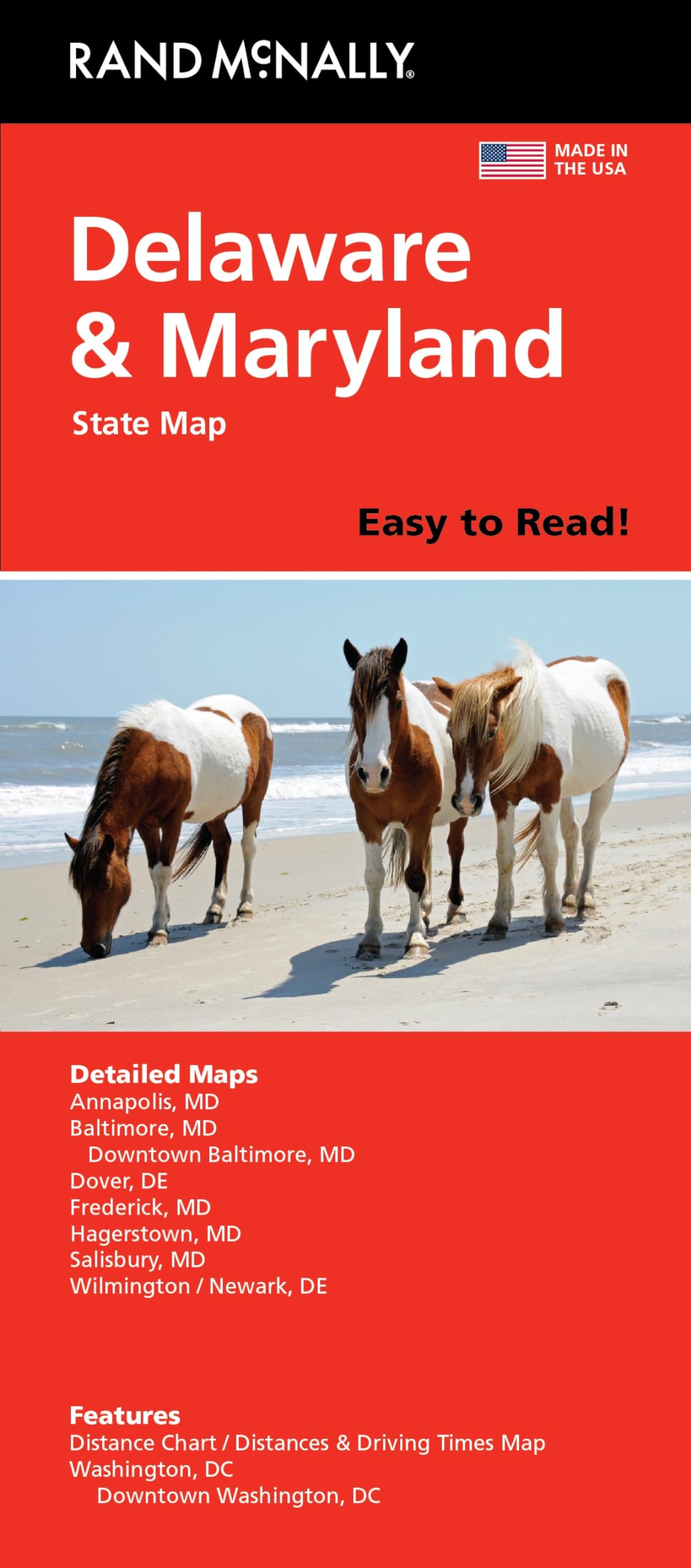
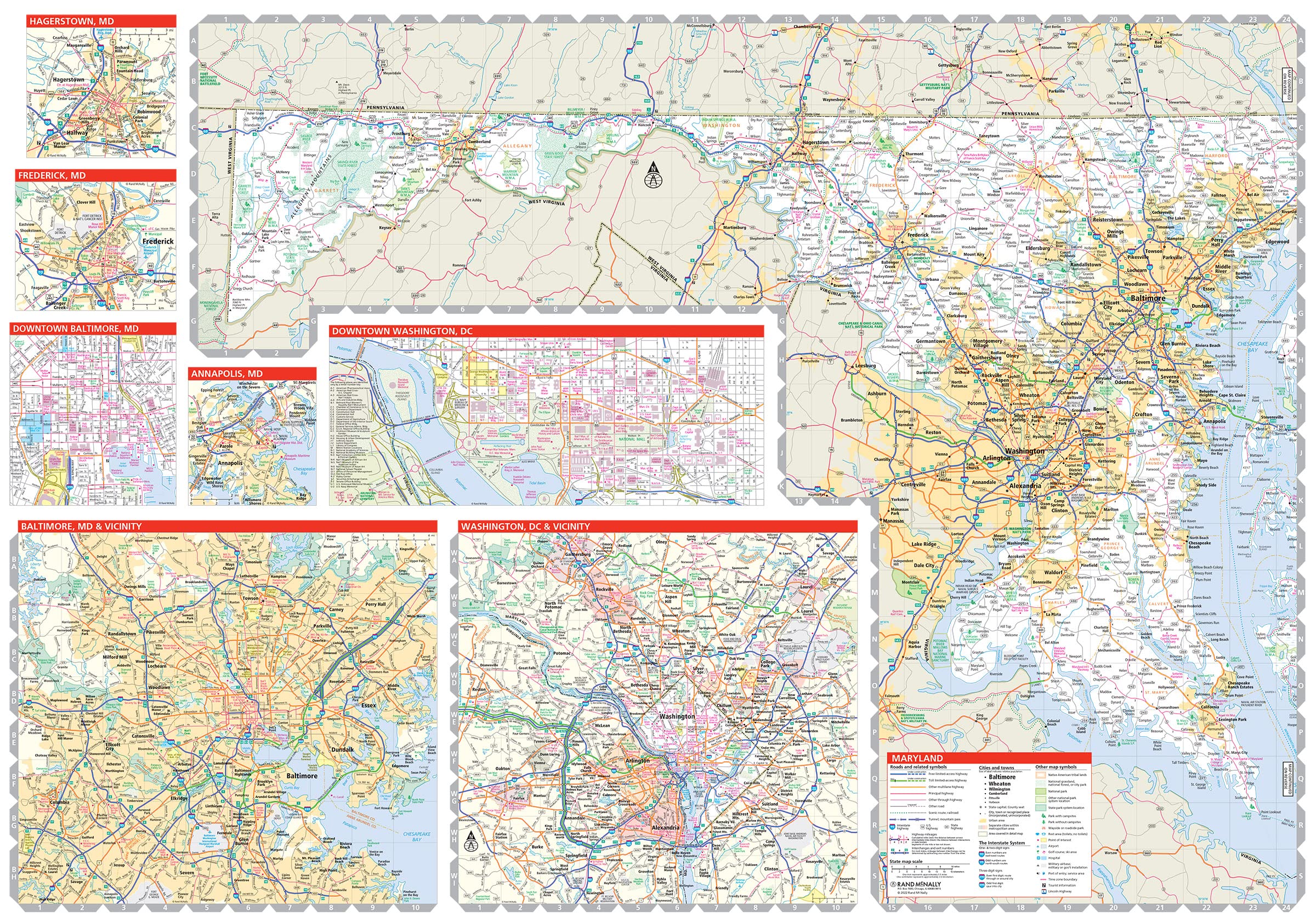
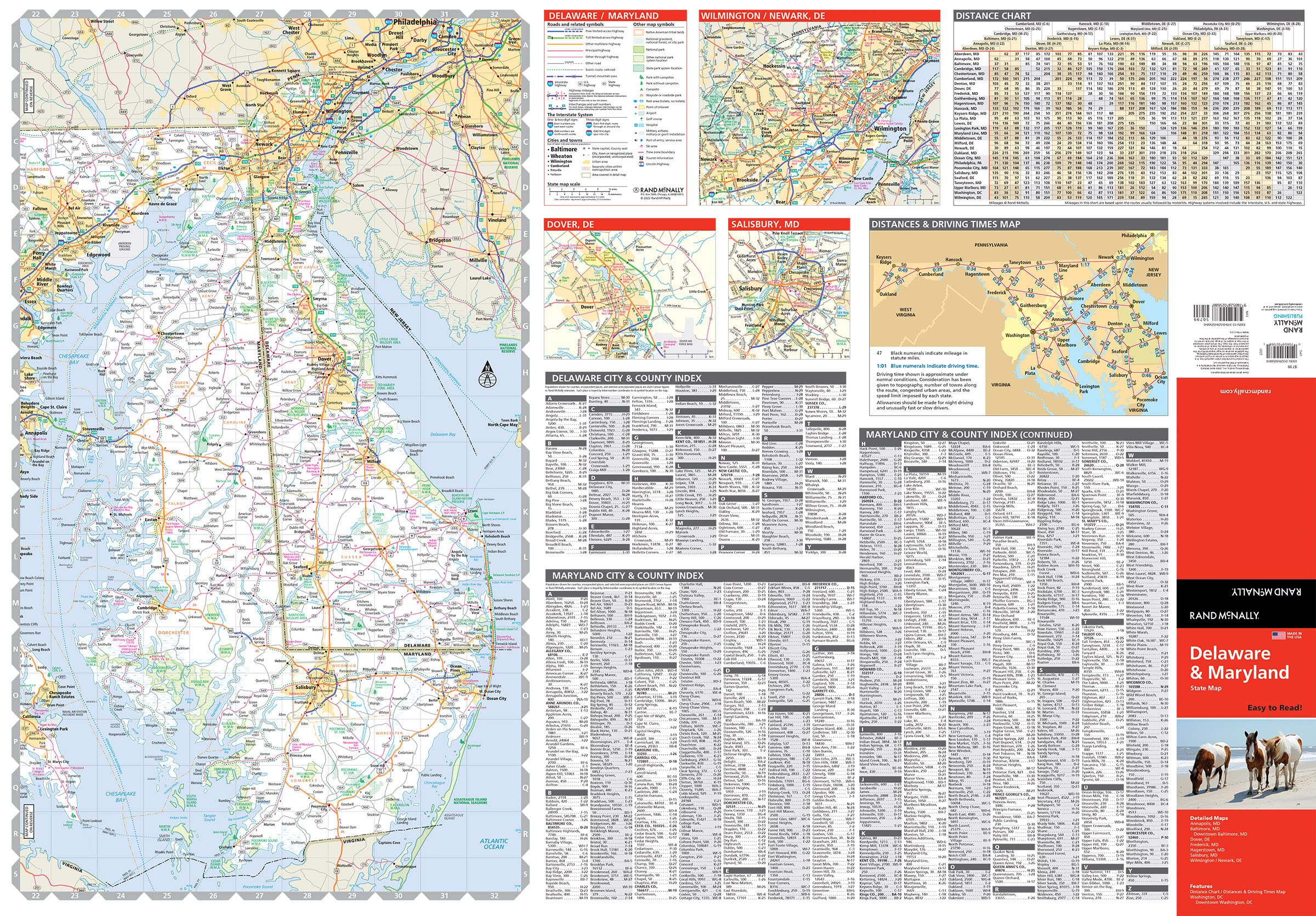
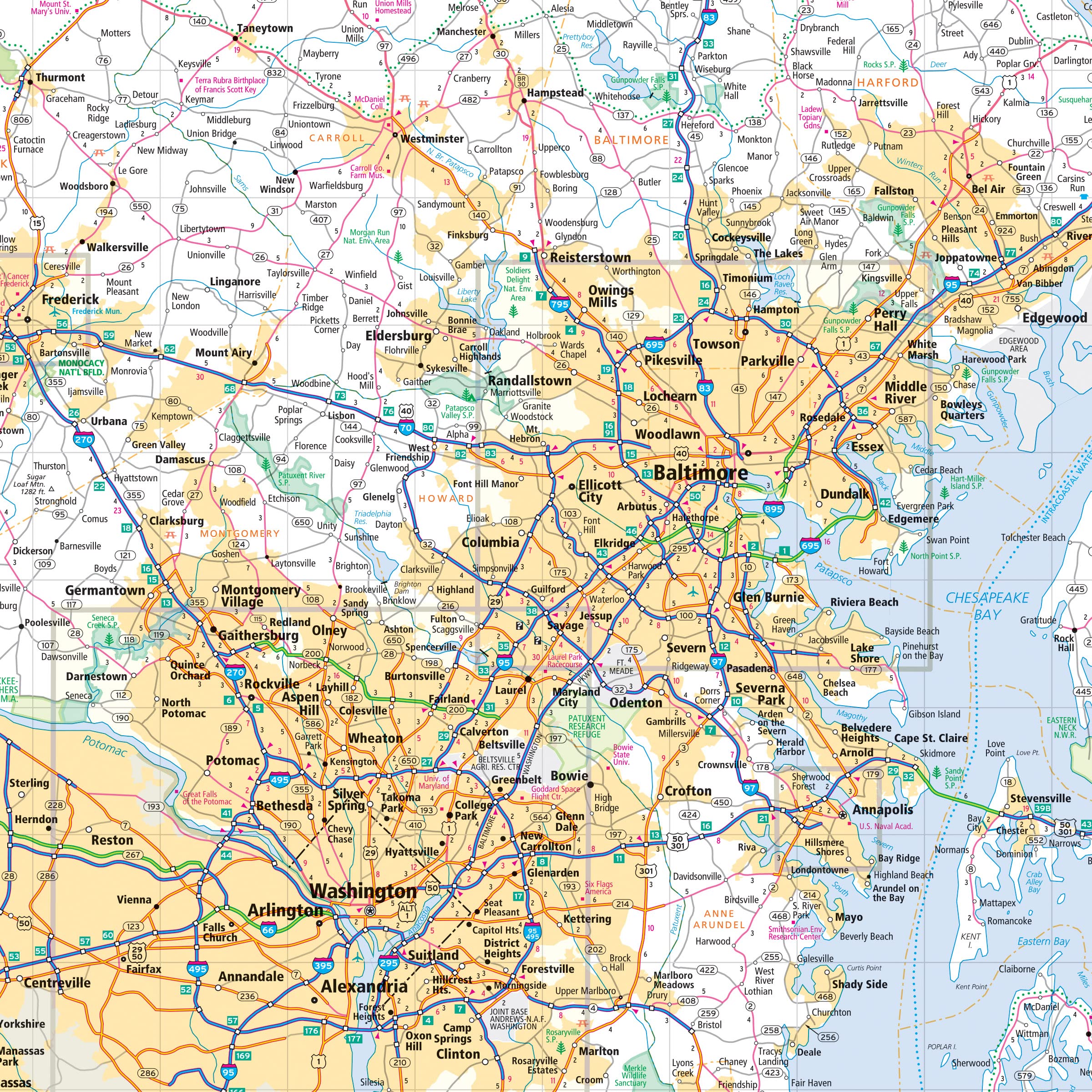
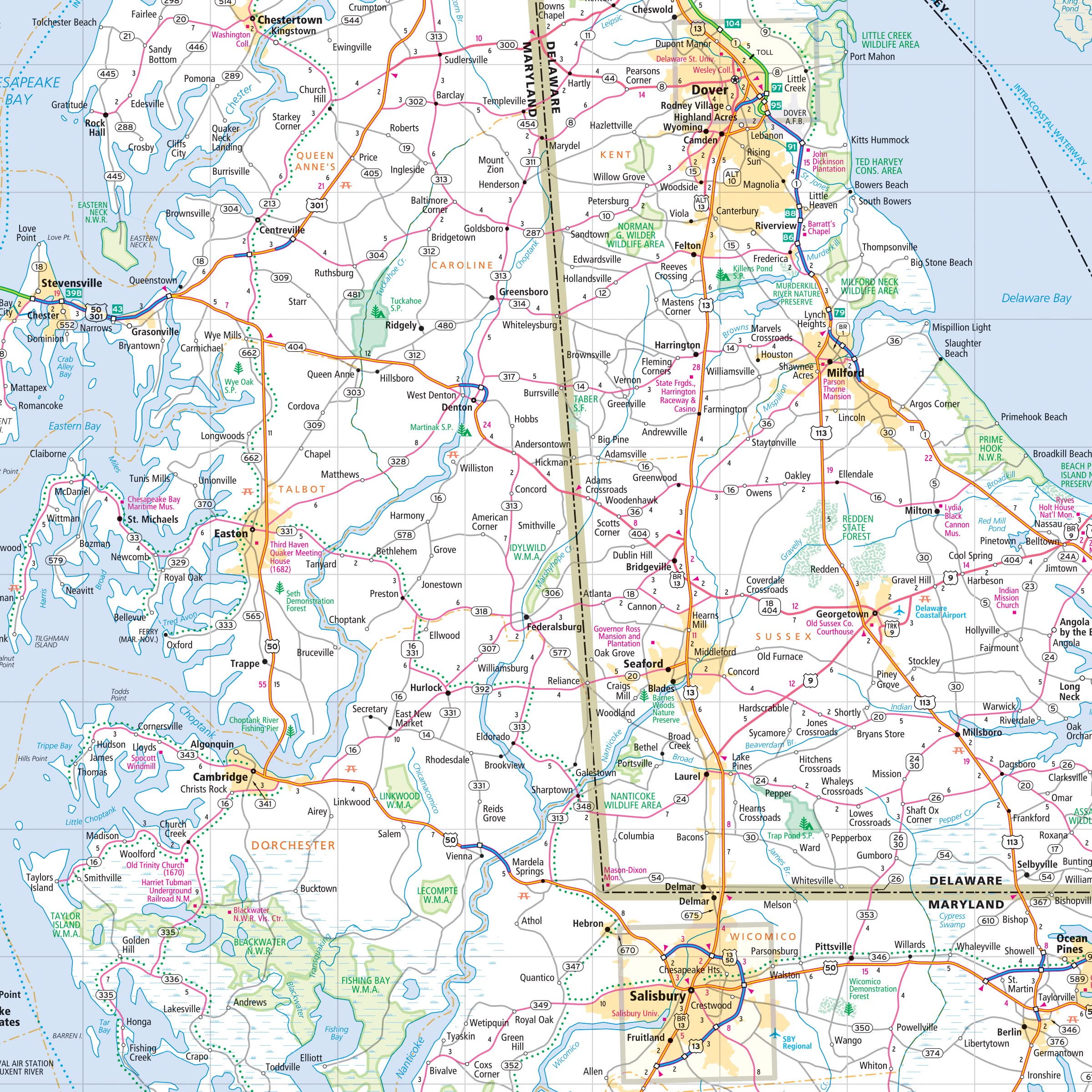
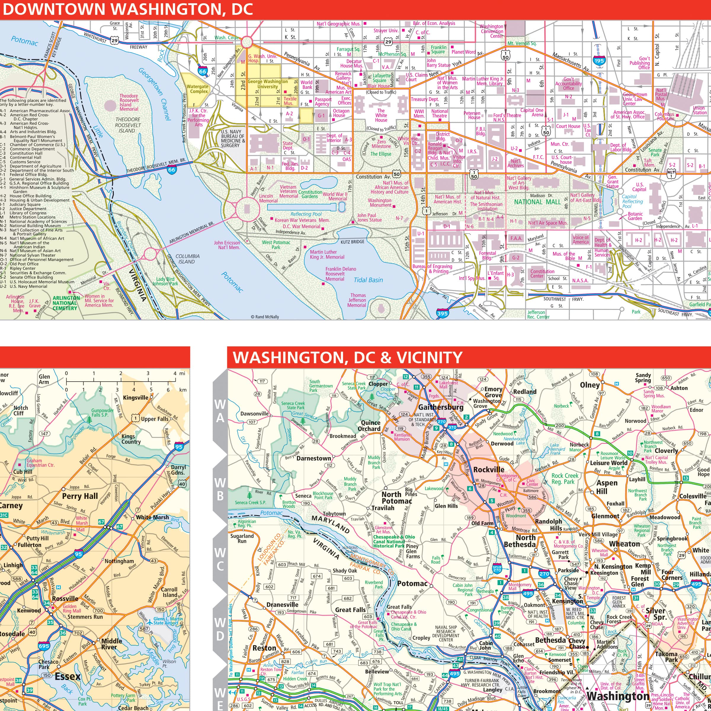
Rand McNally’s folded map for Delaware and Maryland is a must-have for anyone traveling in or through these states, offering unbeatable accuracy and reliability at a great price. Our trusted cartography shows all Interstate, U.S., state, and county highways and much more. – Points of interest. – State Park chart. – State mileage chart. – Driving times map. – Visitor center information. – Climate data. – State facts & symbols. – Easy-to-use legend. – Detailed indexed. Coverage Area Detailed maps include: Dover, DE; Wilmington, DE; Annapolis, MD; Baltimore, MD; Baltimore Downtown, MD; Frederick, MD; Hagerstown, MD; Washington, D.C., Washington, D.C. Downtown. Product Details: Measures 9.0″ x 4.125″ and folds out to 25.5″ x 36.75″.
Features
- Regularly updated, full-color maps
- Clearly labeled Interstate, U.S., state, and county highways
- Indications of parks, points of interest, airports, county boundaries, schools, shopping malls, downtown & vicinity maps
- Easy-to-use legend
- Mileage and driving times map
- Detailed index
- Copyright 2022
- Coverage Area Detailed maps include: Dover, DE; Wilmington, DE; Annapolis, MD; Baltimore, MD; Baltimore Downtown, MD; Frederick, MD; Hagerstown, MD; Washington, D.C., Washington, D.C. Downtown

![Wall Art Impact 30"x24" Poster Thematic Map - The Pilgrim Progress [Laminated]~](https://m.media-amazon.com/images/I/71B3ErUr4TL.jpg)


Reviews
There are no reviews yet.