
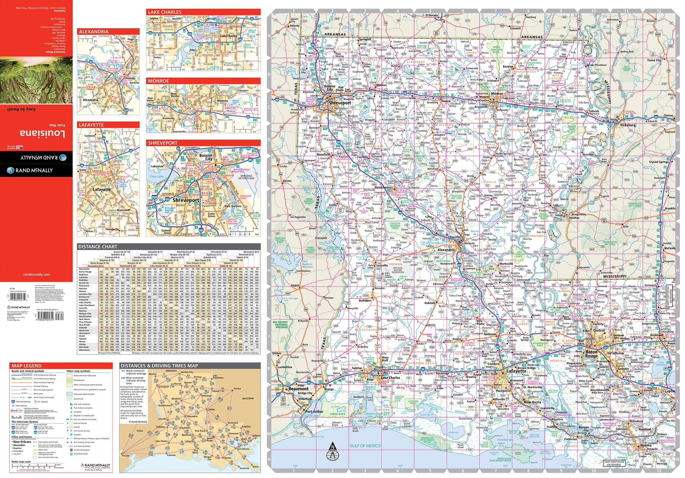
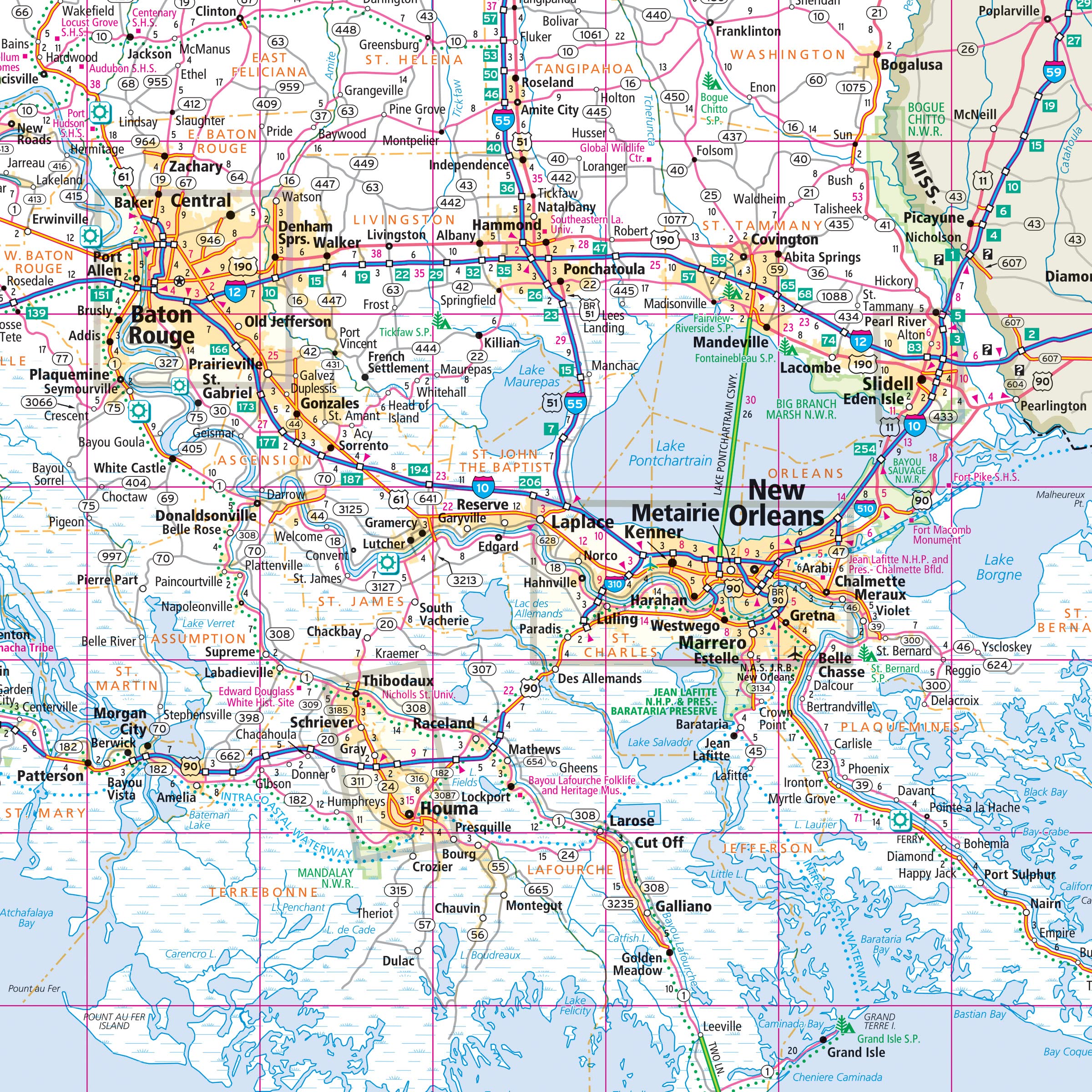
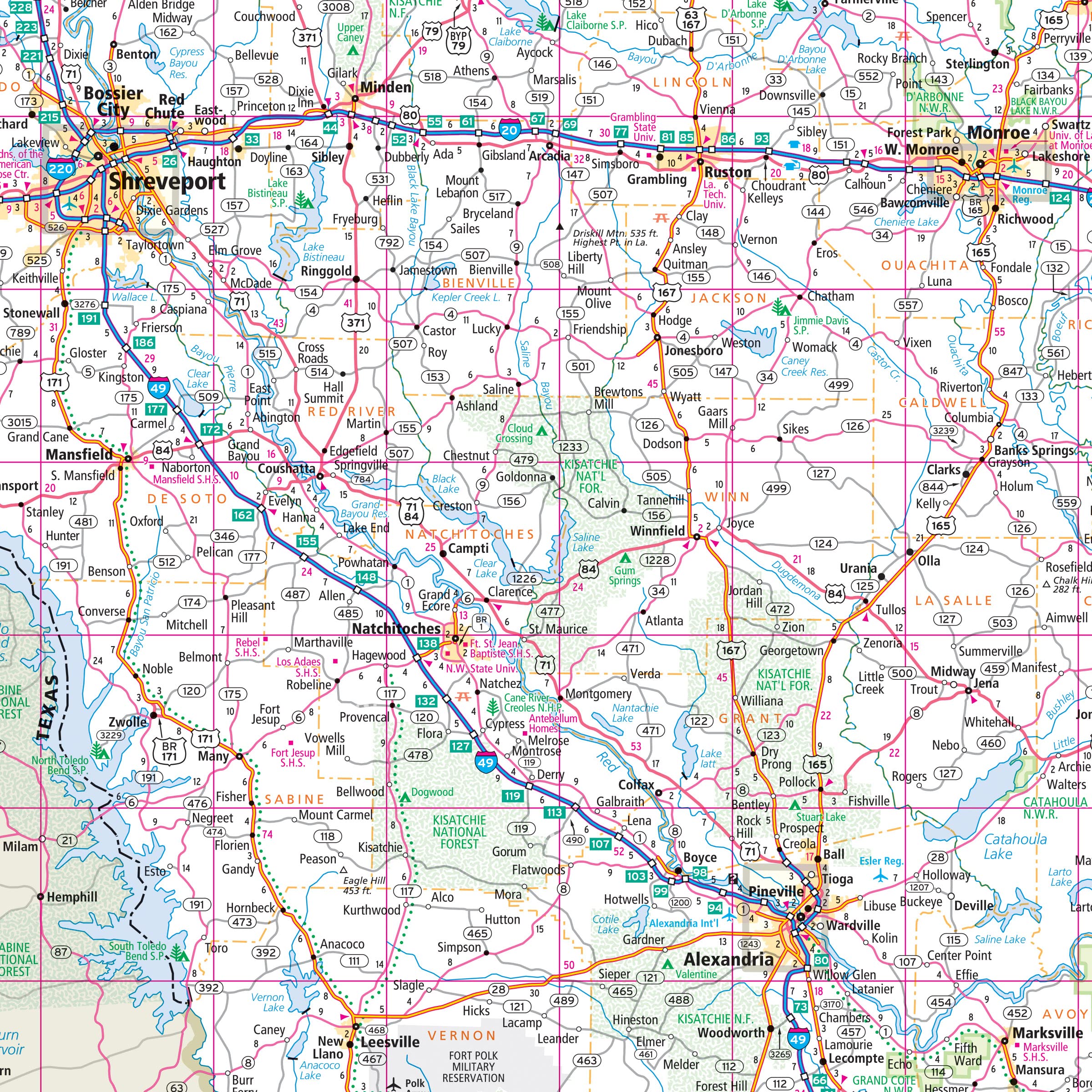
Rand McNally’s Easy To Read State Folded Map is a must-have for anyone traveling in and around Louisiana, offering unbeatable accuracy and reliability at a great price. Our trusted cartography shows all Interstate, U.S., state, and county highways, along with clearly indicated parks, points of interest, airports, county boundaries, and streets. The easy-to-use legend and detailed index make for quick and easy location of destinations. You’ll see why Rand McNally folded maps have been the trusted standard for years. – Regularly updated, full-color maps. – 29% larger map with a bigger type size than the Rand McNally Folded Map. – Clearly labeled Interstate, U.S., state, and county highways. – Indications of parks, points of interest, airports, county boundaries, and more. – Mileage and driving times map. – Detailed index. – Convenient folded size. Coverage Area Detailed maps of: Alexandria, Baton Rouge, Lafayette, Lake Charles, Monroe, New Orleans & Vicinity, Downtown New Orleans, Shreveport. Product Details: Folded measures: 4″x9.5″ – Folds out to: 28″ x 40″.
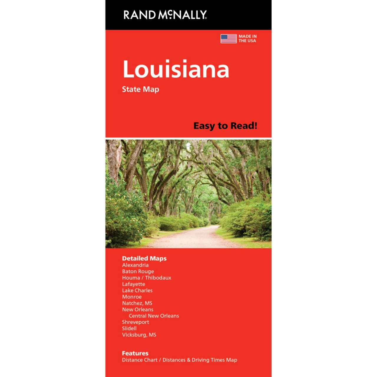

Rand McNally Easy to Read: Louisiana State Map
$9.99
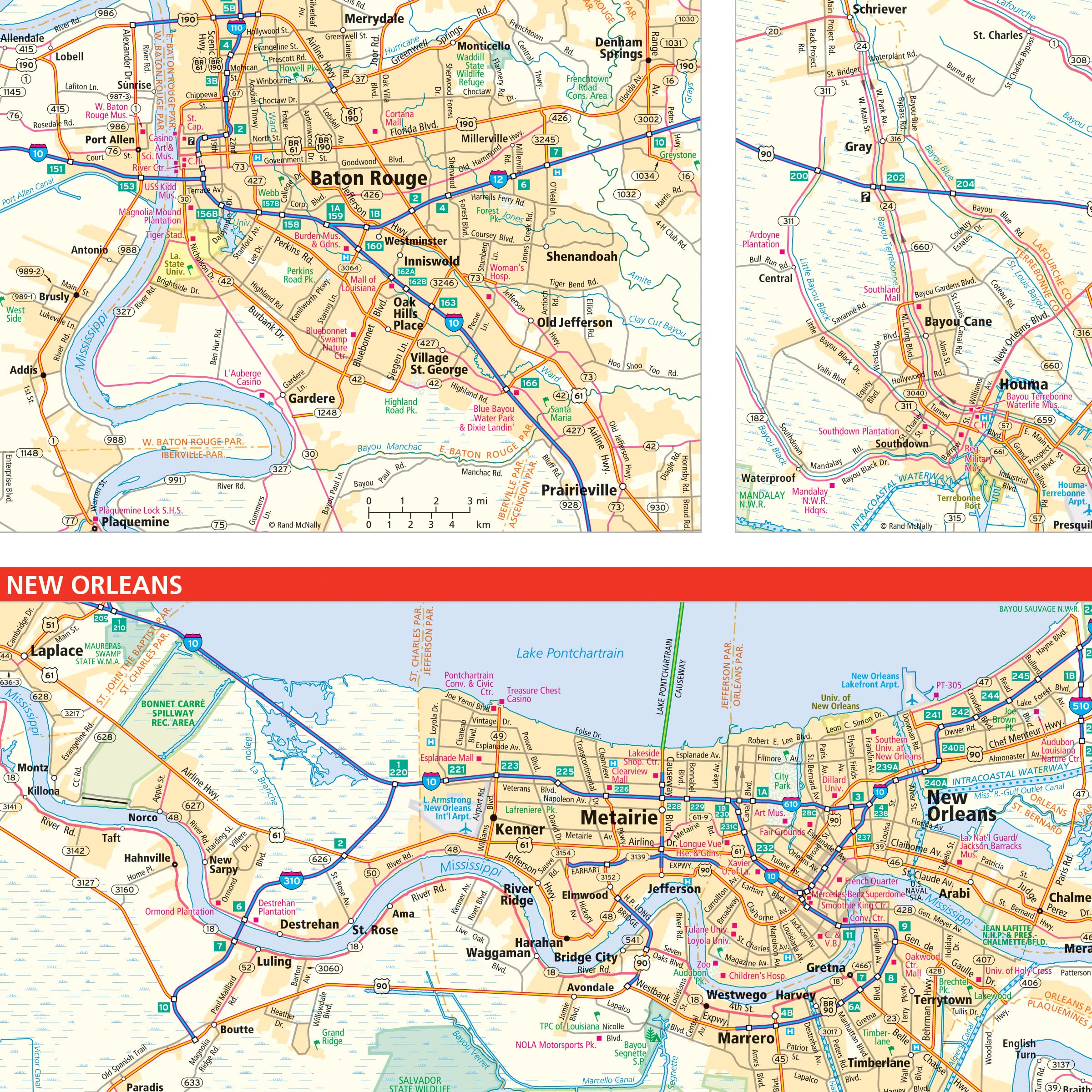
This map of Louisiana provides a visual aid for learning state geography, transportation routes, and points of interest.
Additional information
| Weight | 0.045 lbs |
|---|---|
| Dimensions | 10.2 × 0.8 × 22.6 in |


Reviews
There are no reviews yet.