
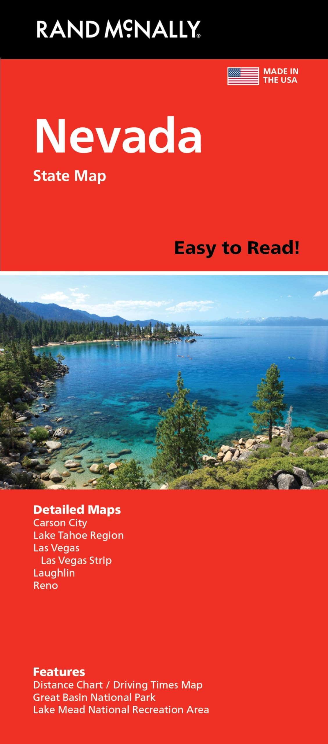


Rand McNally’s folded map for Nevada is a must-have for anyone traveling in or through the state, offering unbeatable accuracy and reliability at a great price. Our trusted cartography shows all Interstate, U.S., state, and county highways and much more. – Regularly updated, full-color maps. – Clearly labeled Interstate, U.S., state, and county highways. – Detail maps of major cities, a mileage chart, and a Mileages & Driving Times Map. – Indications of parks, points of interest, airports, county boundaries, and more. – Easy-to-use legend. – Detailed index. – Convenient folded size. Coverage Area Detailed maps include: Carson City, Lake Mead National Recreation Area, Lake Tahoe Region, Las Vegas, Las Vegas Strip, Laughlin, Reno.
Features
- Regularly updated, full-color maps
- Clearly labeled Interstate, U.S., state, and county highways
- Detail maps of major cities, a mileage chart, and a Mileages & Driving Times Map
- Indications of county boundaries, schools, shopping malls, parks, golf courses, hospitals, airports, and points of interest
- Easy-to-use legend
- Detailed index
- Copyright 2021
- Coverage Area Detailed maps include: Carson City, Lake Mead National Recreation Area, Lake Tahoe Region, Las Vegas, Las Vegas Strip, Laughlin, Reno


![2 Pack - Giant World Map & US Map Poster Set - Extra Large Mega Chart of the World & United States - Laminated - 46" x 60" [Blue]](https://m.media-amazon.com/images/I/91LEEQUE1bL.jpg)
Reviews
There are no reviews yet.