
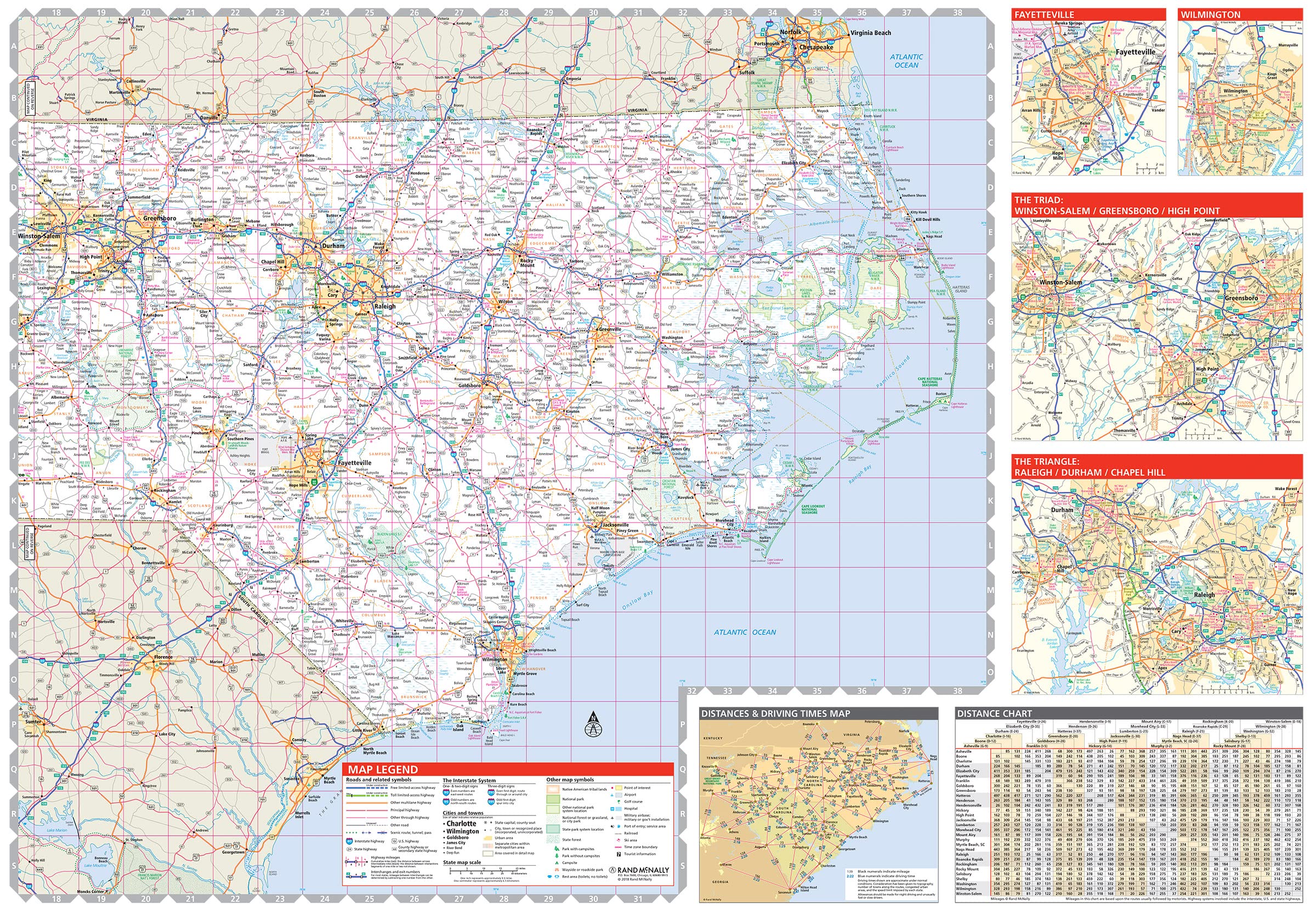
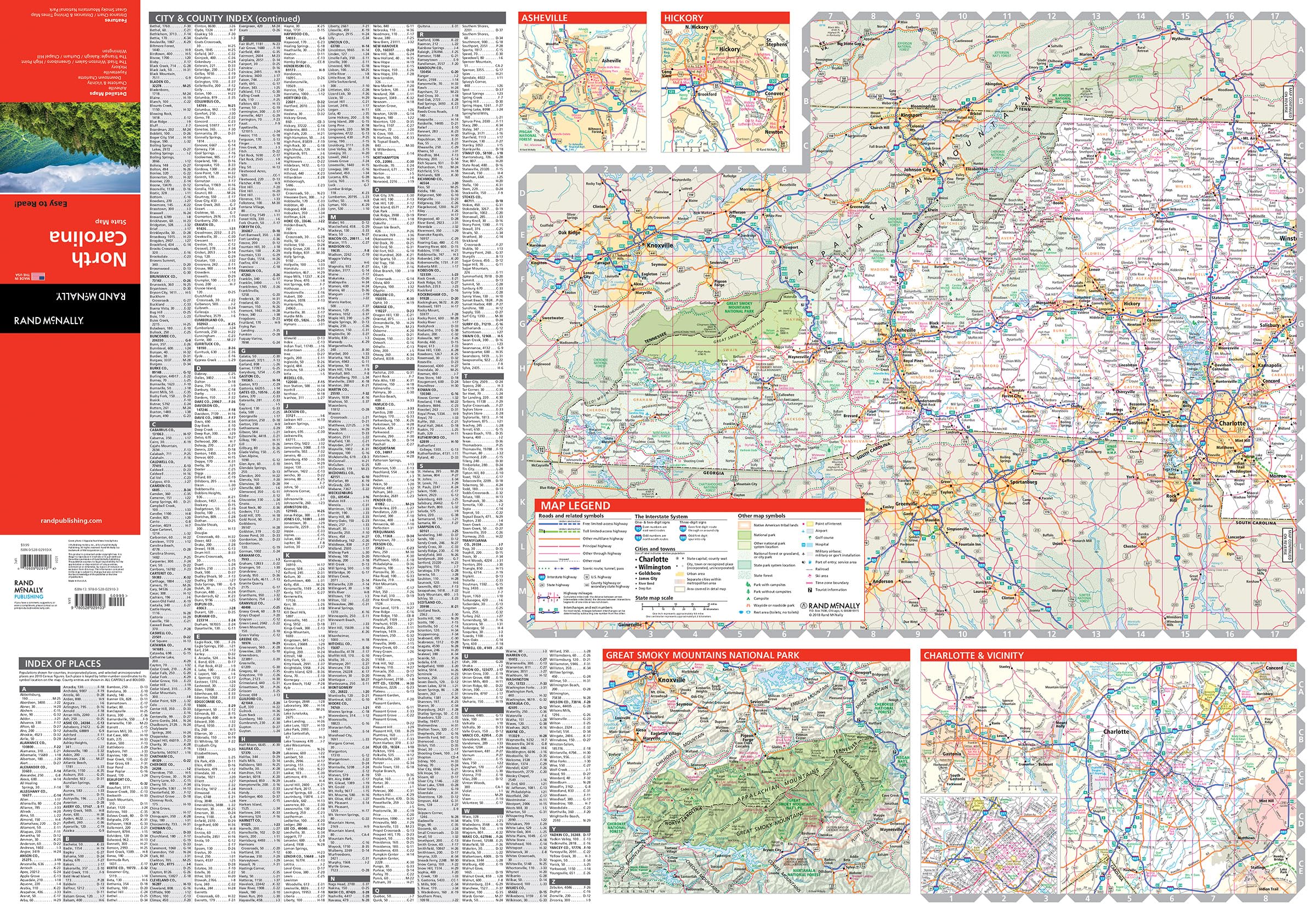
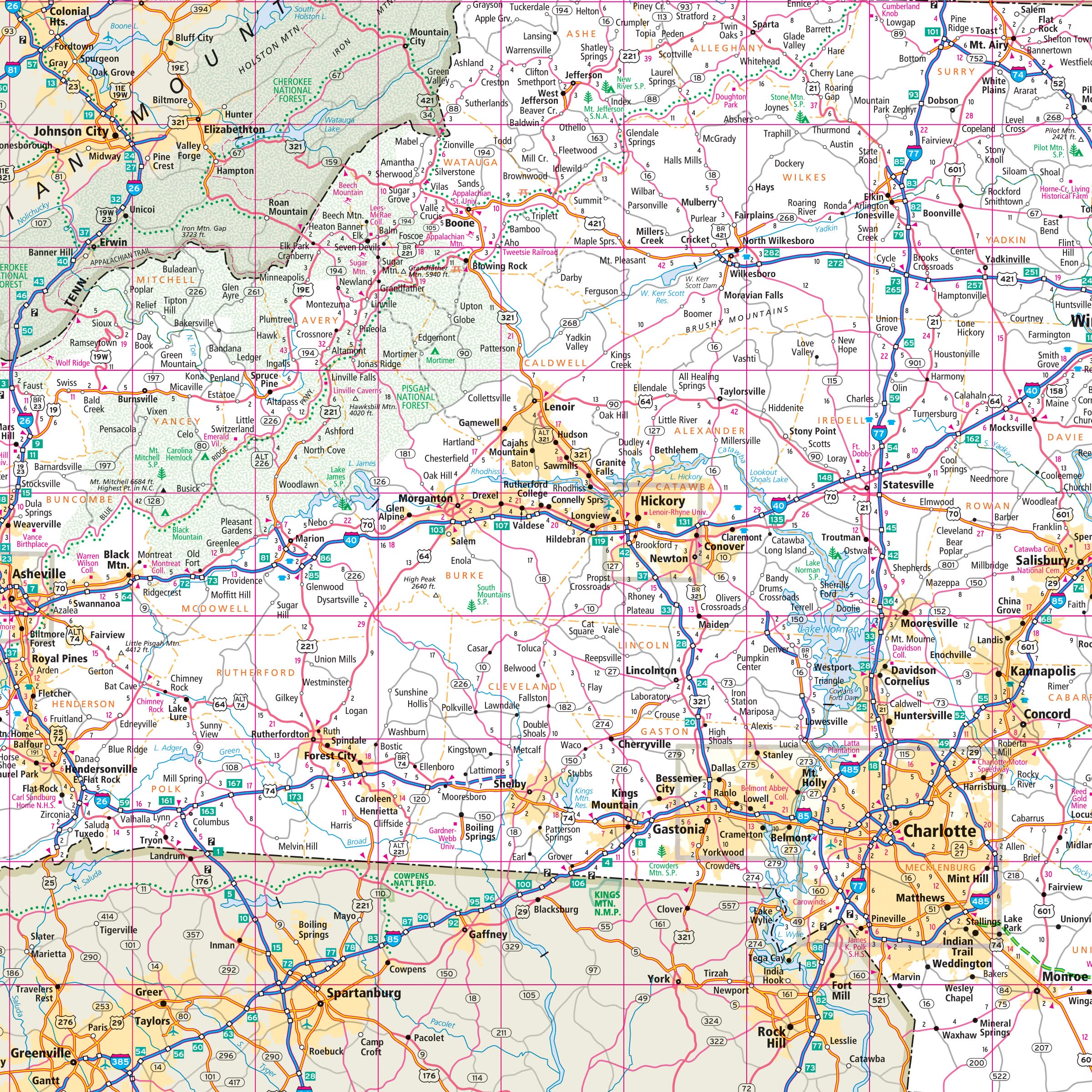
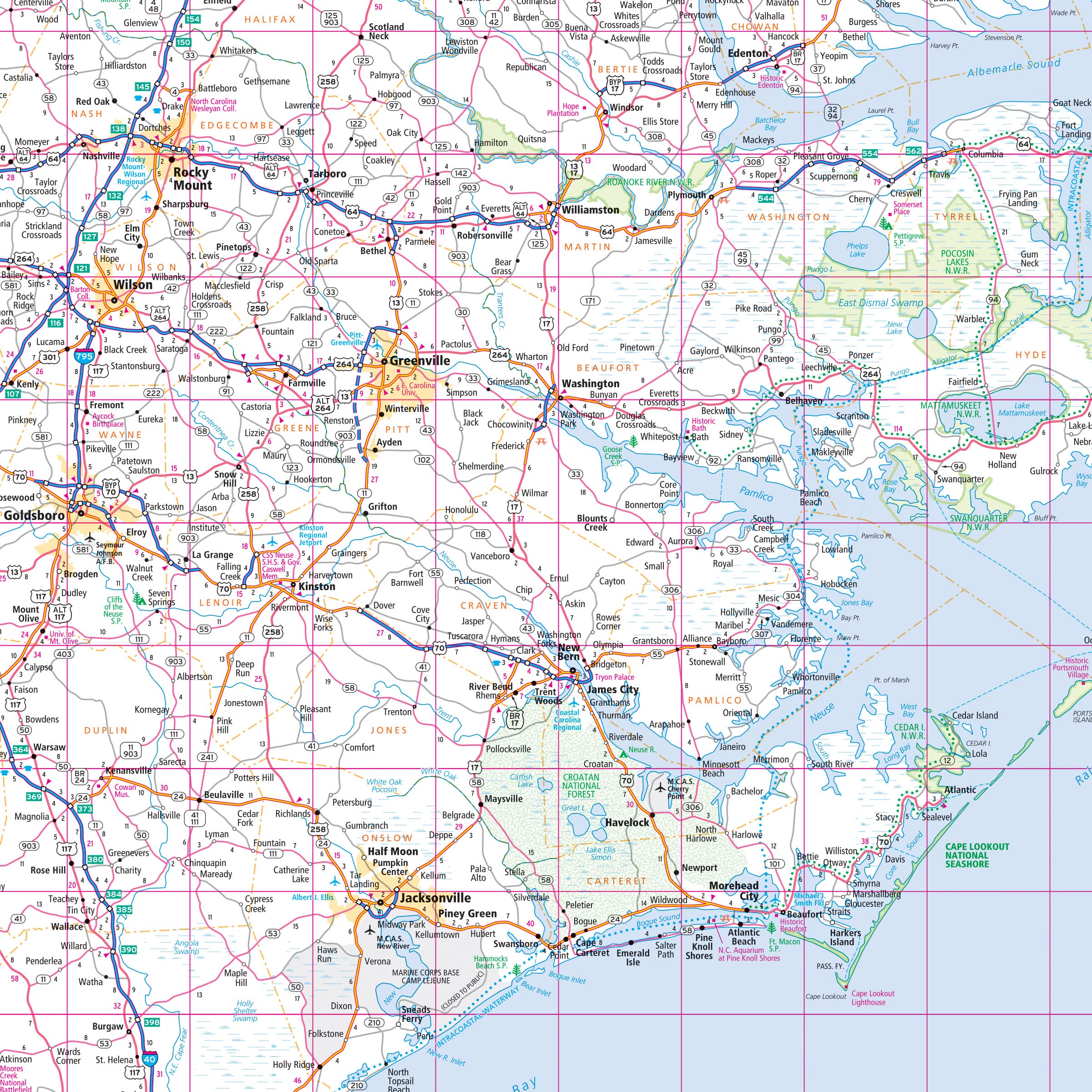
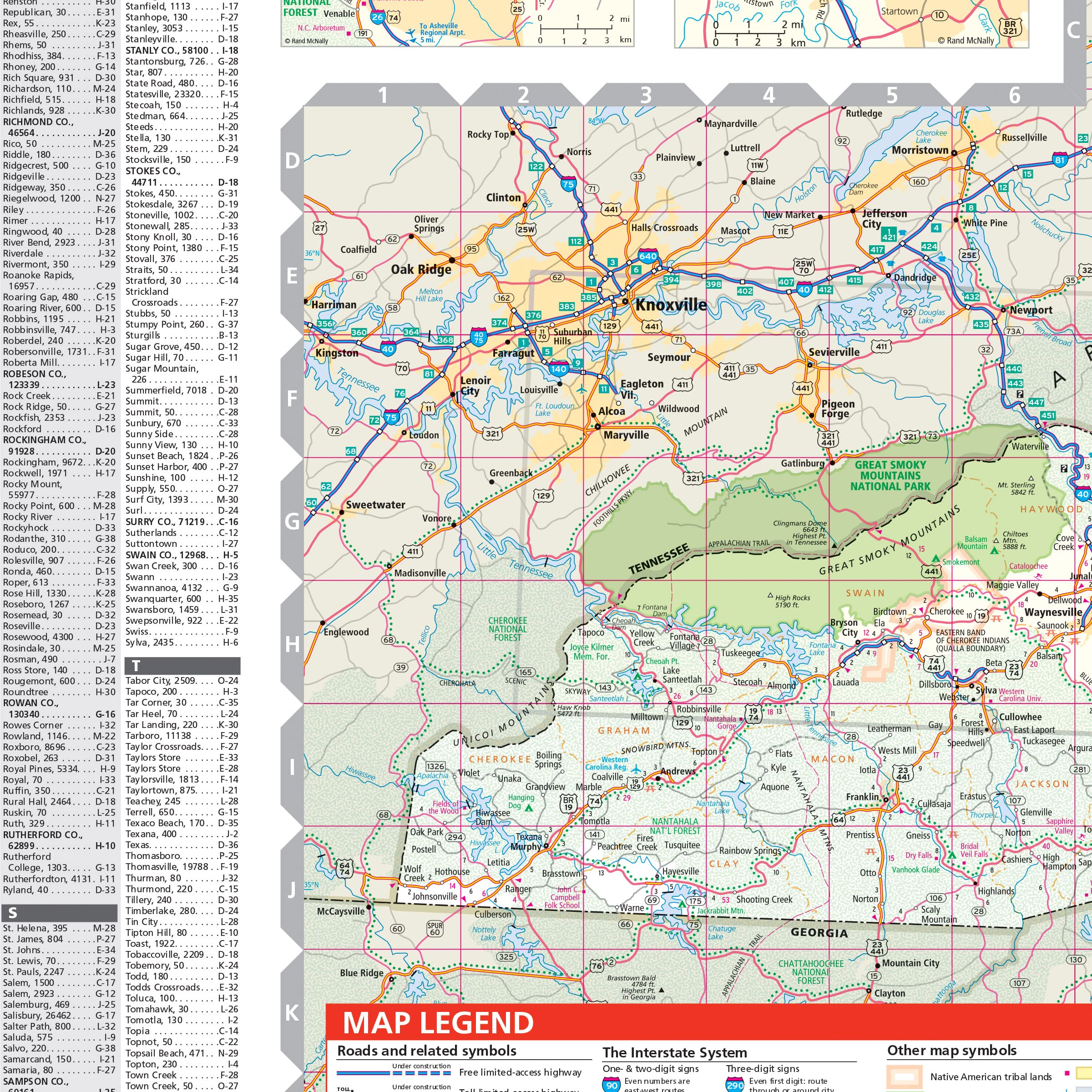
Rand McNally’s folded map for North Carolina is a must-have for anyone traveling in or through the state, offering unbeatable accuracy and reliability at a great price. Our trusted cartography shows all Interstate, U.S., state, and county highways and much more. – Points of interest. – State park chart. – State mileage chart. – Driving times map. – On-the-road toolbox. – Visitor center information. – Climate data. – State facts & symbols. – Easy-to-use legend. – Detailed indexed. Coverage Area Detailed maps include: Asheville, Charlotte, Fayetteville, Gastonia, Great Smoky Mountains National Park, Raleigh/Durham/Chapel Hill, Wilmington, Winston-Salem/Greensboro/High Point. Product Details: Measures 4″ x 9.5″ and folds out to 28″ x 40″.
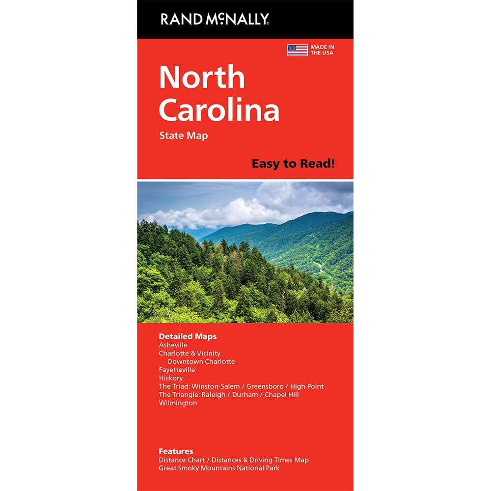
Rand McNally Easy to Read: North Carolina State Folded Map
$7.90
This state map of North Carolina enhances a student’s knowledge of the state’s geography, including its parks and major cities.
Additional information
| Weight | 0.454 lbs |
|---|---|
| Dimensions | 10 × 0.4 × 23.6 in |


Reviews
There are no reviews yet.