
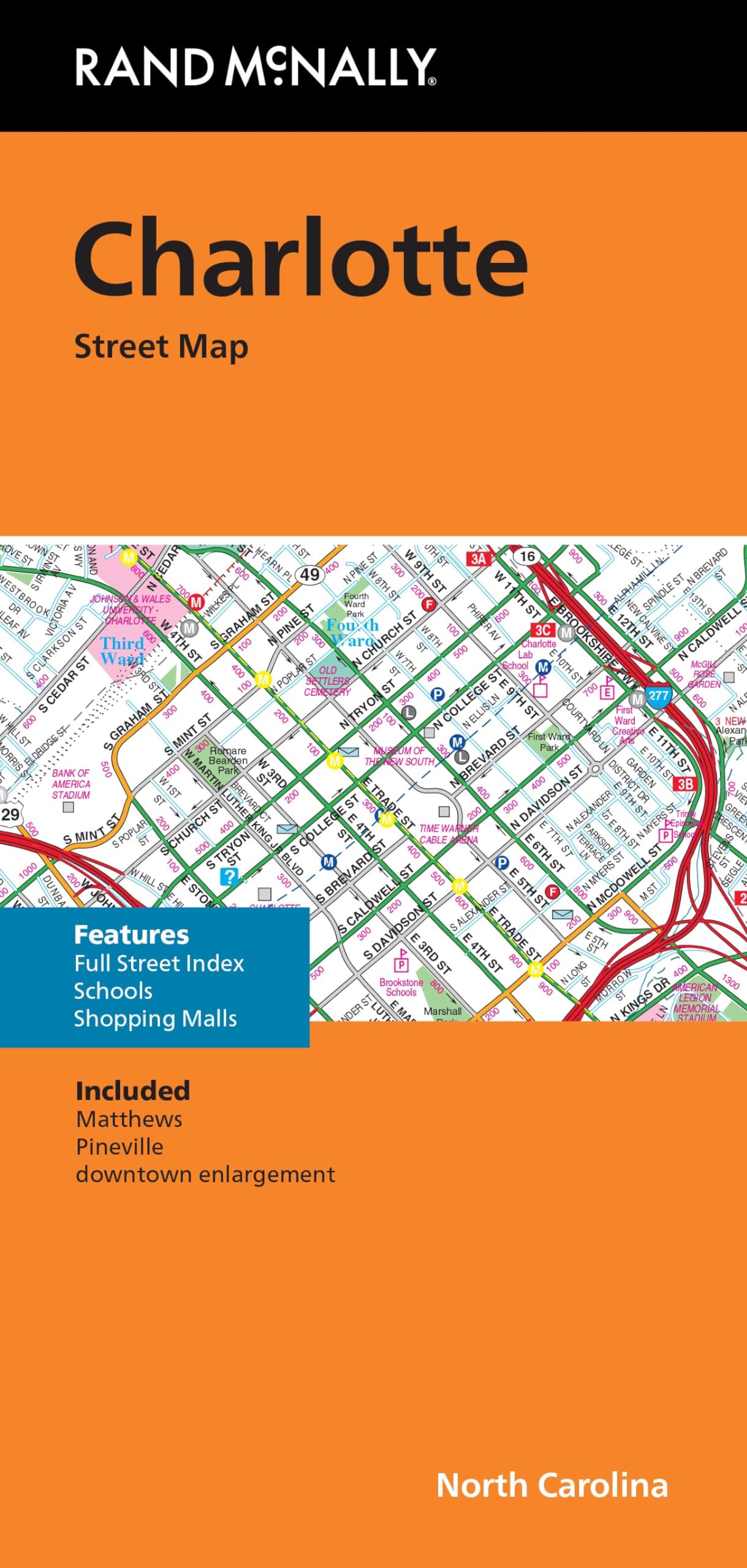
Rand McNally’s folded map for Charlotte is a must-have for anyone traveling in and around this part of North Carolina, offering unbeatable accuracy and reliability at a great price. Our trusted cartography shows all Interstate, U.S., state, and county highways, along with clearly indicated parks, points of interest, airports, county boundaries, and streets. The easy-to-use legend and detailed index make for quick and easy location of destinations. You’ll see why Rand McNally folded maps have been the trusted standard for years. – Regularly updated. – Full-color maps. – Clearly labeled Interstate, U.S., state, and county highways. – Indications of parks, points of interest, airports, county boundaries, schools, shopping malls, downtown & vicinity maps. – Enlargements of downtown. – Easy-to-use legend. – Detailed & full street index. – Convenient folded size. Coverage Area Communities Included: Matthews, Pineville. Product Details: Measures 9.5′ x 4′ and folds out to 40′ x 28′.
Features
- Regularly updated, full-color maps
- Clearly labeled Interstate, U.S., state, and county highways
- Indications of parks, points of interest, airports, county boundaries, schools, shopping malls, downtown & vicinity maps
- Enlargements of downtown
- Easy-to-use legend
- Detailed & full street index
- Copyright 2024
- Coverage Area Communities Included: Matthews, Pineville


![Wall Art Impact 24"x39" Upside Down Political World Map. Rare Funny maps. [Laminated]](https://m.media-amazon.com/images/I/A1ozy4bAW2L.jpg)

Reviews
There are no reviews yet.