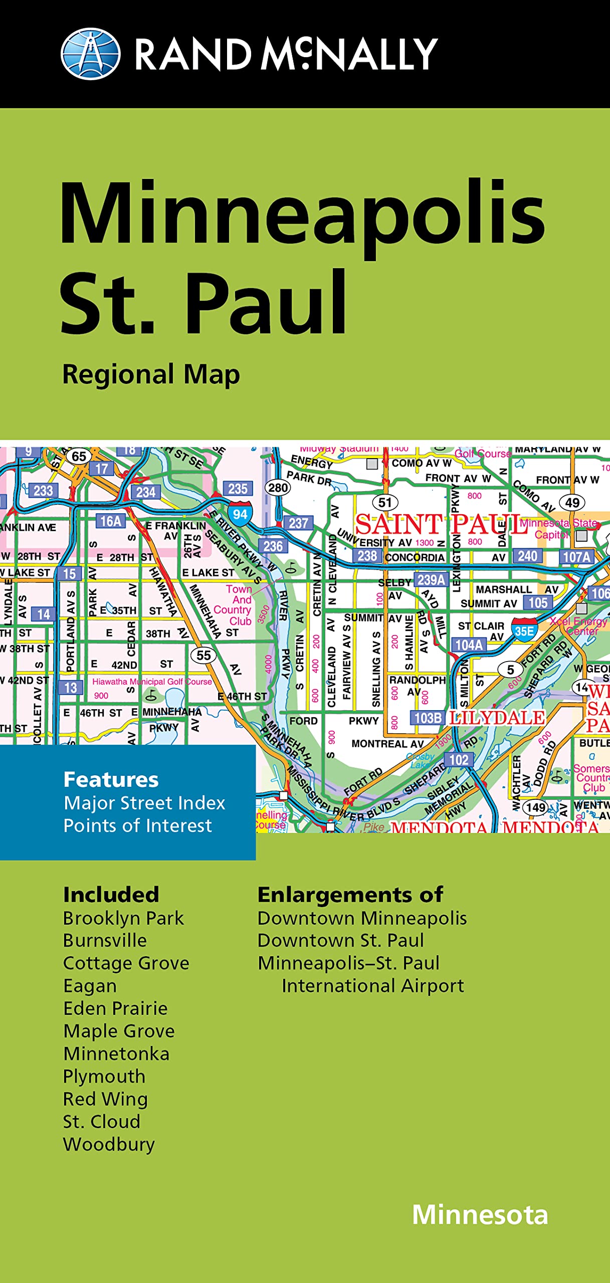
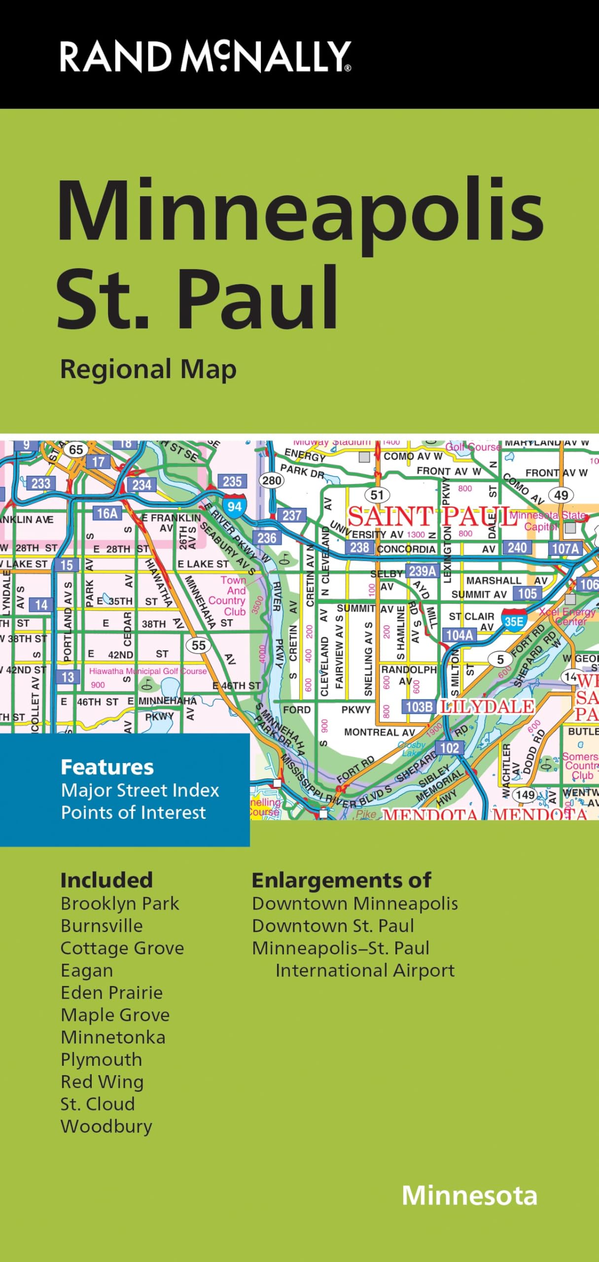
Rand McNally’s folded map for Minneapolis St. Paul is a must-have for anyone traveling in and around the Minneapolis St. Paul area, offering unbeatable accuracy and reliability at a great price. Our trusted cartography shows all Interstate, U.S., state, and county highways, along with clearly indicated parks, points of interest, airports, county boundaries, and streets. The easy-to-use legend and detailed index make for quick and easy location of destinations. You’ll see why Rand McNally folded maps have been the trusted standard for years. Regularly updated. Full-color maps. Clearly labeled Interstate, U.S., state, and county highways. Indications of parks, points of interest, airports, county boundaries, downtown & vicinity maps. Easy-to-use legend. Convenient folded size. Major Street Index. Points of Interest. Enlargements of Minneapolis downtown, St. Paul downtown. Minneapolis-St. Paul International Airport. Coverage Area Communities Included: Brooklyn Park, Burnsville, Cottage Grove, Eagan, Eden Prairie, Maple Grove, Minnetonka, Plymouth, Red Wing, St. Could, Woodbury. Product Details: Measures 9.5′ x 4′ and folds out to 40′ x 28′.
Features
- Copyright 2024
- Regularly updated, Full-color maps
- Clearly labeled Interstate, U.S., state, and county highways
- Indications of county boundaries, schools, shopping malls, parks, golf courses, hospitals, airports, and points of interest
- Easy-to-use legend
- Detailed index and Major Street Index
- Enlargements of Minneapolis/St Paul downtown
- Coverage Area Communities Included: Brooklyn Park, Burnsville, Cottage Grove, Eagan, Eden Prairie, Maple Grove, Minnetonka, Plymouth, Red Wing, St. Could, Woodbury

![Wall Art Impact 34"x24" Poster Large scale detailed political map of Oceania with major cities and capitals - 1982 Oceania [Laminated]](https://m.media-amazon.com/images/I/61Py1032UML.jpg)

![2 Pack - Giant World Map & US Map Poster Set - Extra Large Mega Chart of the World & United States - Laminated - 46" x 60" [Blue]](https://m.media-amazon.com/images/I/91LEEQUE1bL.jpg)


Reviews
There are no reviews yet.