
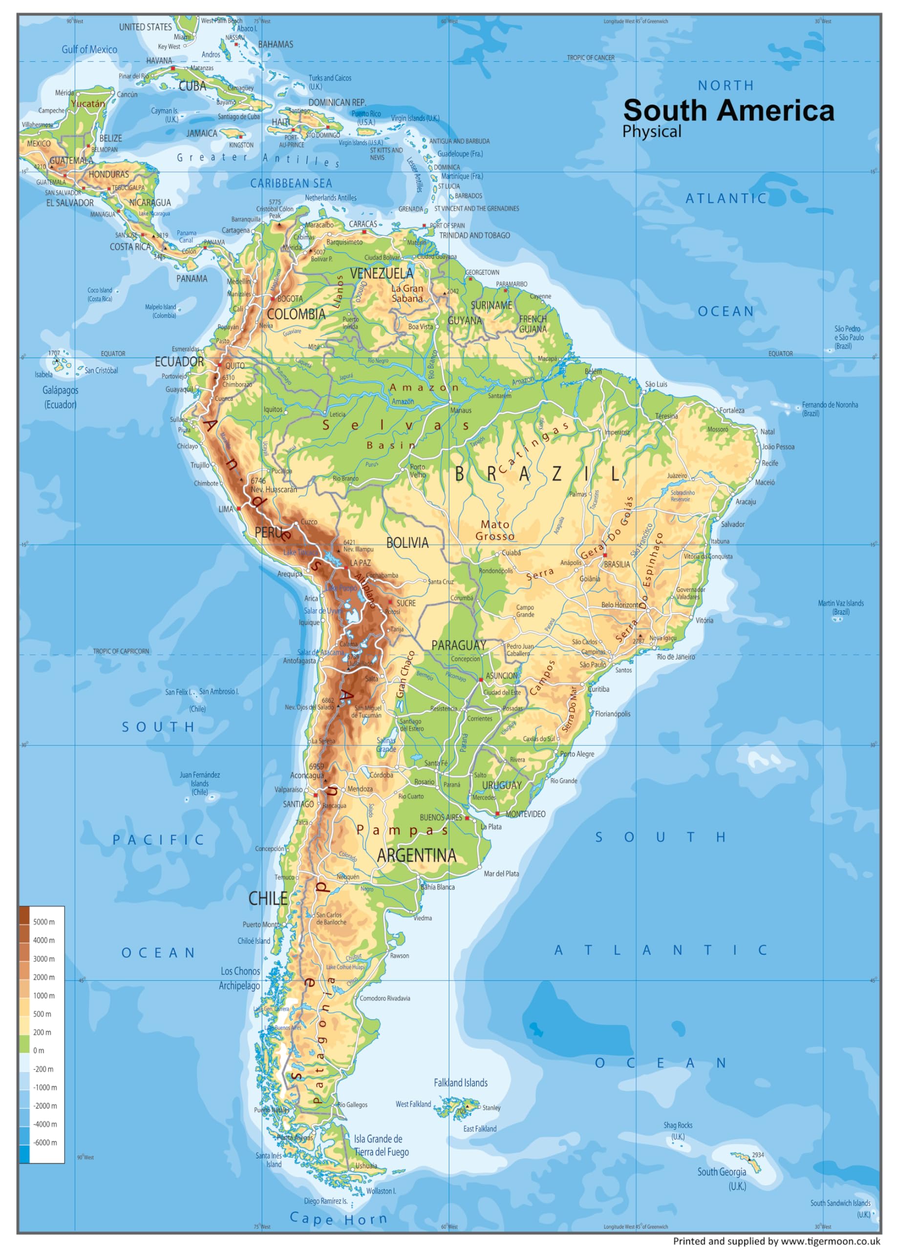
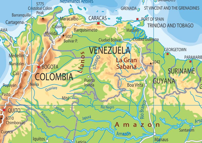
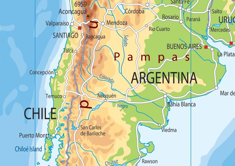
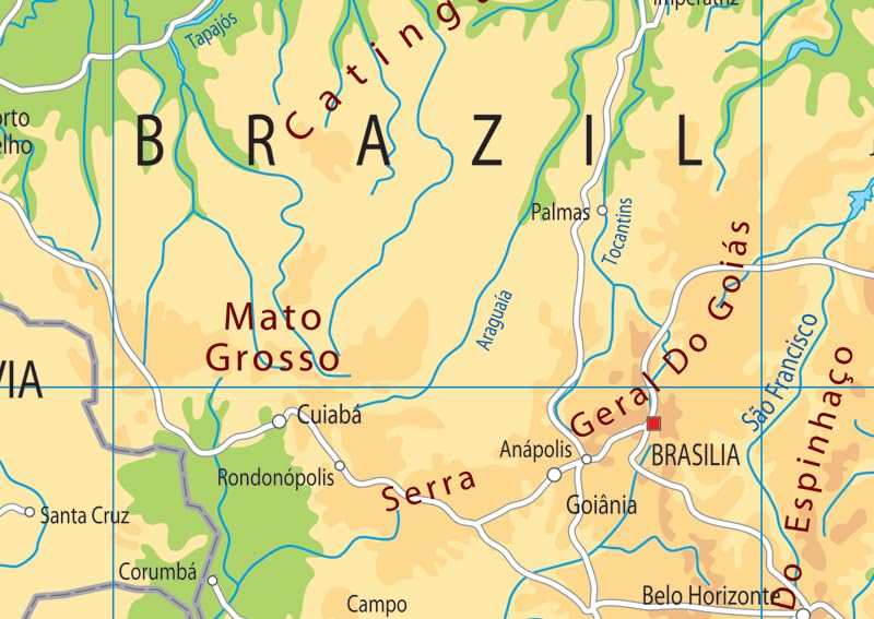
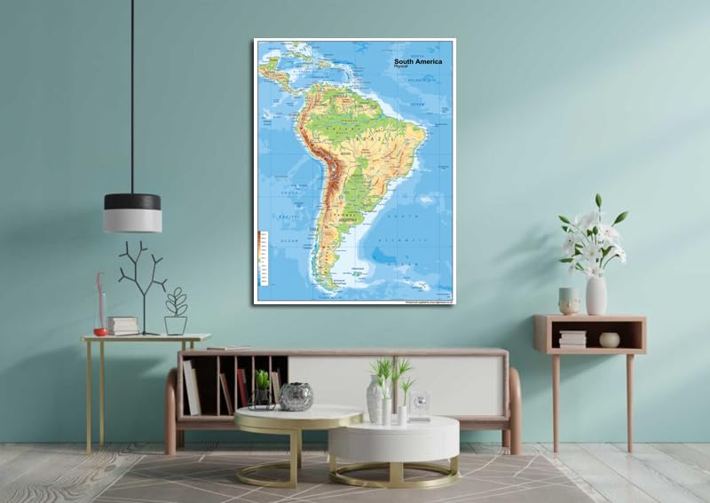
Our physical poster map of South America boasts key attributes state lines, highways, and airports, as well as oceans, lakes. It is a perfect asset for classrooms and an exceptional resource for learning all that the continent provides.
Features
- Our physical poster map of South America boasts key attributes state lines, highways, and airports, as well as oceans, lakes. It is a perfect asset for classrooms and an exceptional resource for learning all that the continent provides.
- Size – 23.3 x 16.5 Inches. Printed onto a high quality paper and laminated for durability.

![Wall Art Impact 24"x34" Poster Topographic Map Us Geological Survey [Laminated]](https://m.media-amazon.com/images/I/81lShKnjk2L.jpg)


Reviews
There are no reviews yet.