
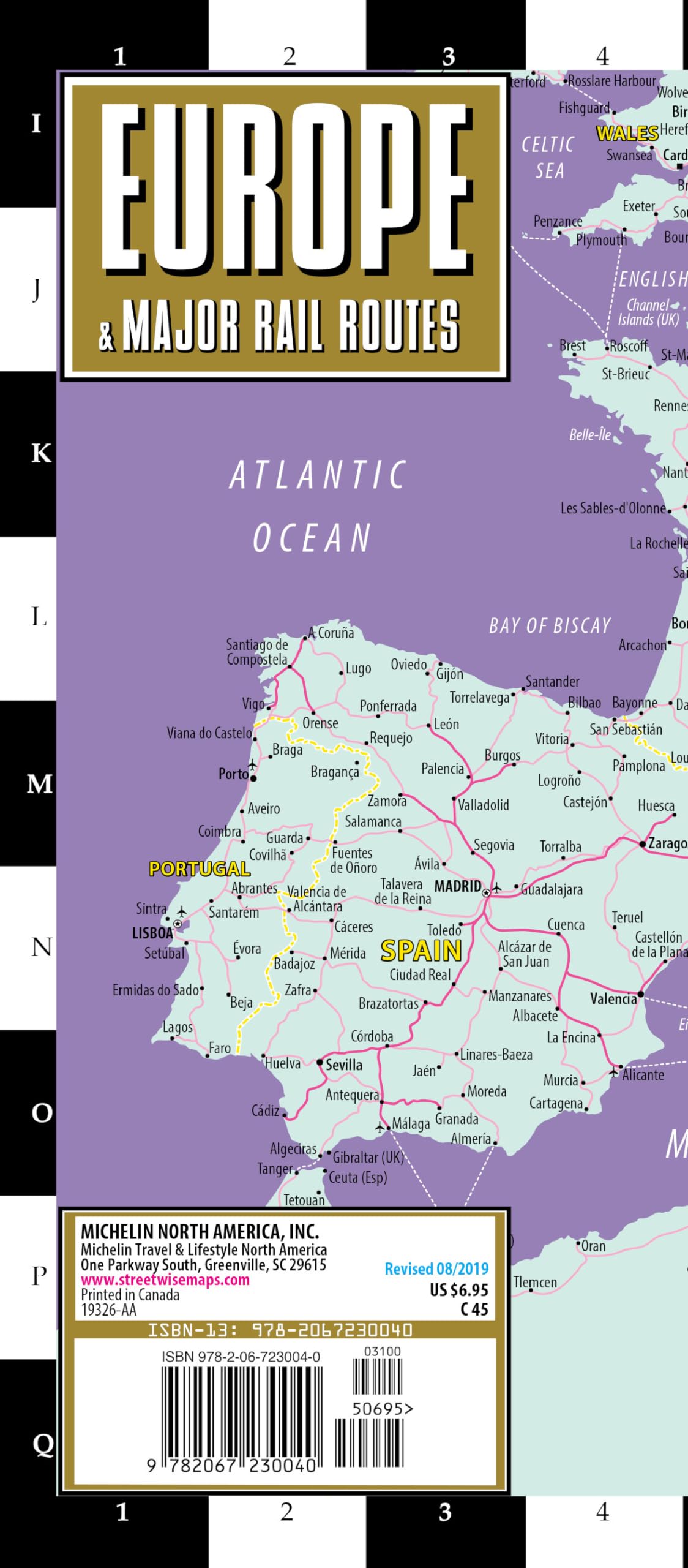
Streetwise Europe Rail Map is a laminated railroad map of Europe in an accordion-fold pocket size format. Coverage includes: Main Europe Rail Network Map 1:11,500,000 Dimensions: 4″ x 8.5″ folded, 8.5″ x 19.25″ unfolded If you can, travel through Europe via train. Experience the romance, scenic adventure, convenience and reliability of rail travel between major cities as well as to smaller towns.
Streetwise Europe & Major Rail Routes
$7.07
This map facilitates the study of European geography, major cities, and international transportation networks.
Additional information
| Weight | 0.1 lbs |
|---|---|
| Dimensions | 10.2 × 0.5 × 22 in |


Reviews
There are no reviews yet.