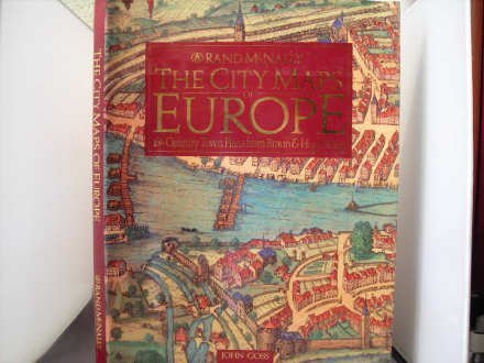
The City Maps of Europe: 16th Century Town Plans from Braun & Hogenberg

$60.65

This book of historical maps offers educational insights into 16th-century cartography, urban development, and history.

The City Maps of Europe: 16th Century Town Plans from Braun & Hogenberg
$60.65

[wpforms id=”1190″ title=”true” description=”Request a call back”]

This volume beautifully reproduces a selection of plates from one of the finest extant sets of one of the most remarkable atlases ever produced, Braun & Hogenberg’s Civitates Orbis Terrarum or “Cities of the World,” first published in six volumes between 1572 and 1617. Goss’s knowledgeable narrative is full of interesting information about the maps and the history of the cities. 11.25×15.25″. Annotation copyright Book News, Inc. Portland, Or.

Features

  • Used Book in Good Condition

Additional information

Weight 1.678 lbs
Dimensions 28.6 × 2.5 × 38.7 in

Reviews

There are no reviews yet.

Be the first to review “The City Maps of Europe: 16th Century Town Plans from Braun & Hogenberg”

Your email address will not be published. Required fields are marked *