
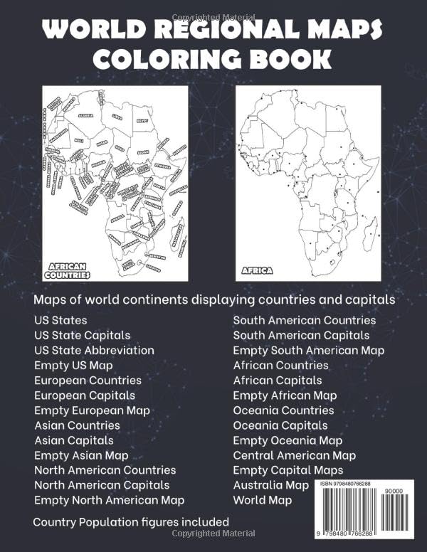
World Maps Coloring Book. Learn while coloring blank, outlined maps of the world and its continents. This coloring book contains blank outline continental maps with country borders which is great for learning world geography. Each blank, outline and printable continental map also comes with a version displaying country and capital names, locations and state capital names (for the US and Australia). Students can trace the outlines of the maps, study and highlight countries and features on the blank maps. A great resource for students and teachers. **Updated with 2023 Population figures. Regions featured include: * U.S.A (States, States Capitals, State Abbreviations & an empty map) * African (Countries and Capitals + an empty map) * Asian (Countries and Capitals + a empty map) * Australia (States and State Capitals + a empty map) * Oceania (Countries and Capitals + a empty map) * Europe (Countries and Capitals + a empty map) * North America (Countries and Capitals + a empty map) * Central America – magnified map including Caribbean islands * South America (Countries and Capitals & a empty map) The printable, blank, outlined regional maps in this coloring book can be freely photocopied for educational purposes by a teacher, student or parent.
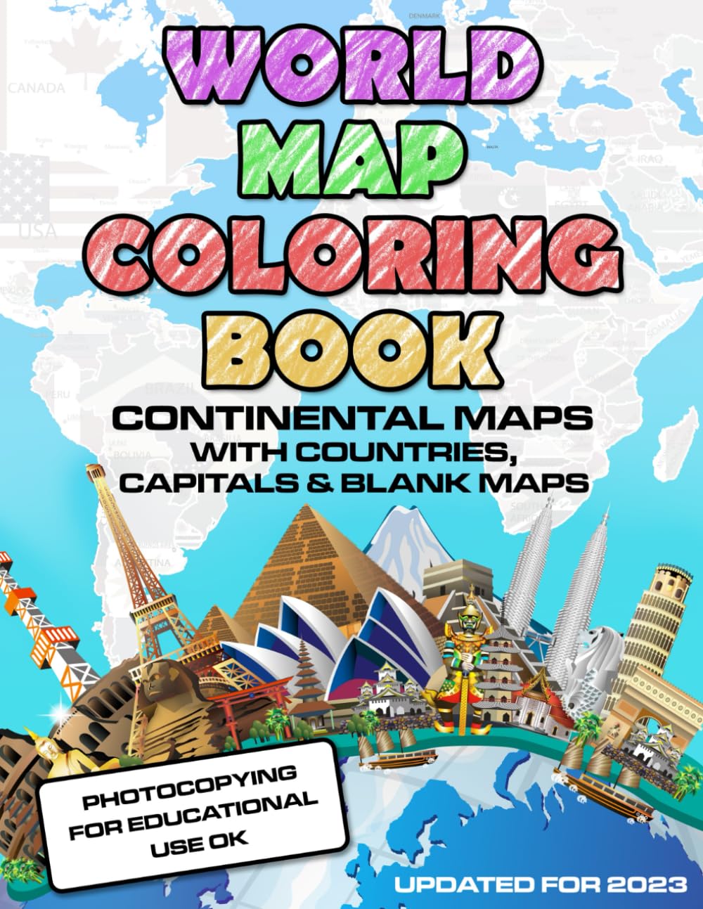
World Map Coloring Book: Maps of the World Continents featuring Country Border, Capitals, Population figures and Empty Maps
$9.49
This world map coloring book helps students learn geography by identifying continents, countries, and capitals.
Additional information
| Weight | 0.272 lbs |
|---|---|
| Dimensions | 21.6 × 0.6 × 27.9 in |


Reviews
There are no reviews yet.