
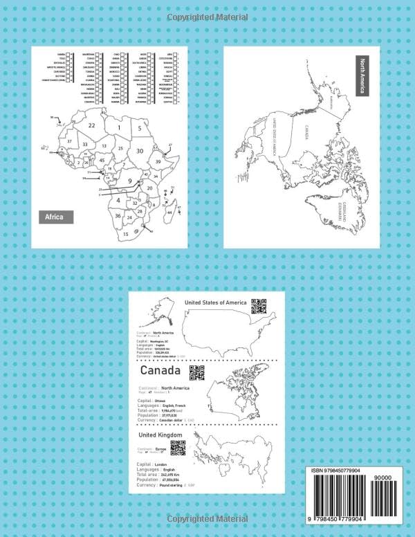
The World Regions Coloring Book offers a valuable resource for those interested in learning about world regional geography through coloring, making it useful for homeschooling and educational purposes. With this book, you can explore and color blank and outline maps depicting various regions of the world. children can benefit from tracing map outlines, studying continents, and highlighting features on the blank maps. This book serves as an excellent tool for both children and adults alike. Regions and continents of the world: Each continent map is provided in three versions: a detailed one with political borders, country names, a simplified outline map with only political borders, and a completely blank outline map for creative coloring. World Map North America Central America South America Europe Africa Asia Australia Maps of countries of the world: The book offers individual maps for over 190 countries, each providing comprehensive details such as the capital, language, area, population density, currency, and continent affiliation. These detailed maps provide valuable insight into each country separately, offering an in-depth exploration of their geographical and cultural attributes. New update: Each country’s profile features a QR code. Scanning this code redirects you to a comprehensive webpage full of detailed Information about the specific country: A summary of all the information and details available on the webpage. Flag National Emblem Map: A detailed map of the country showing its geographic features and boundaries. Location on the World Map: A reference to the country’s position on the global map. Population density Capital city Official language(s) Geographical area Currency Geography: A summary of the country’s physical features, such as mountains, rivers, forests, or plains. Culture: Highlights of the country’s traditions, arts, music, festivals, and more. Cuisine: A brief overview of the country’s signature dishes and food traditions. Government: The type of political system governing the country. Main Religion: The predominant religious belief(s) practiced in the country. Landmarks: Notable sites, historical monuments, and natural wonders found in the country. Landmarks Image: Pictures of some of the country’s landmarks. This structure provides a comprehensive overview of each nation, combining factual details with cultural highlights for a well-rounded understanding. Some other additions provided by the book: The book includes an index that facilitates navigation between pages. With each country there is a paragraph that directs you to a page to identify the location of that country on the world map.
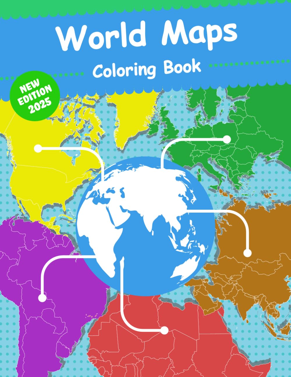
World Maps Coloring Book: World Regional Maps, Continents, countries of the world maps, World Geography, Outline and Blank Maps
$11.95
This coloring book teaches world geography, including continents and countries, in an interactive and engaging format.
Additional information
| Weight | 0.1 lbs |
|---|---|
| Dimensions | 21.6 × 0.6 × 27.9 in |


Reviews
There are no reviews yet.