

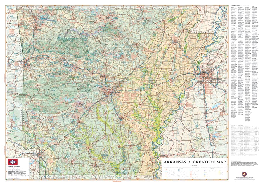
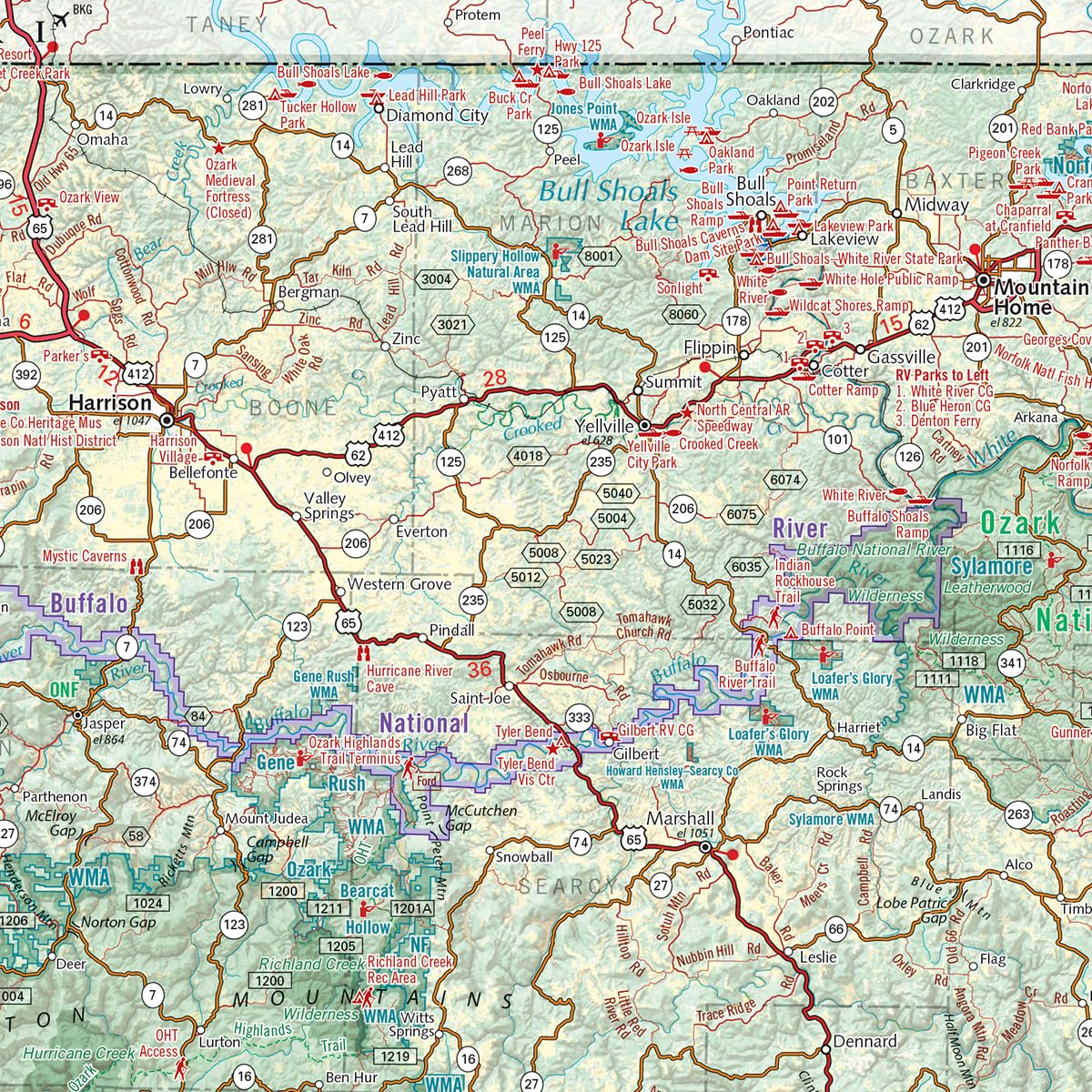
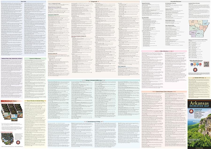
From the Ozarks & Ouachita Mountains to the densely forested Timberlands and the Delta Lowlands, Arkansas contains a wealth of diverse terrain, wildlife, and public recreation opportunities. This map highlights Arkansas’s vast network of highways and byways. It features public land access, state parks, extensive road detail, point-to-point mileages, and a recreation guide with parks & wildlife areas, unique attractions, campgrounds, boating & fishing access points, and more. Scale: 1:633,600
Features
- Parks, Monuments, Natural Wonders
- Boating & Fishing Access
- Historic Sites & Museums
- Campgrounds & RV Parks
- Natural Wonders & Trails


Reviews
There are no reviews yet.