
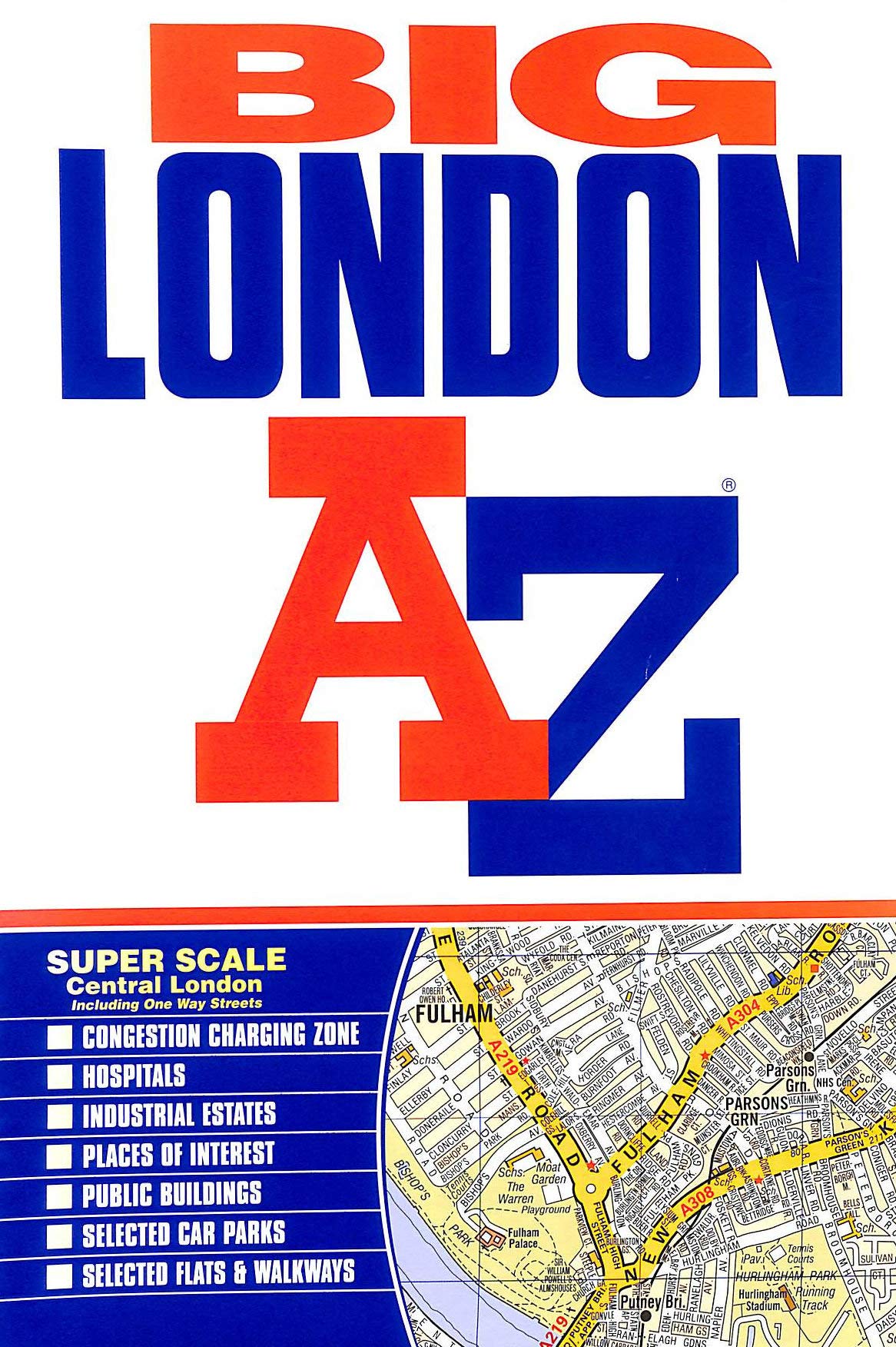
The area covered ranges from Heathrow Airport all the way to Chingford at a scale of 4.25 inches to 1 mile. A detailed map of Central London is at a larger scale of 8.5 inches to 1 mile. The mapping features transport connections, places of interest, public buildings, postcode districts, one-way streets, Congestion, and Low Emission Zones. Includes an overview map of the Congestion Charging Zone; West End Theatre and Cinema maps; the London Rail and Tube Services Map; London Underground map; index of streets, selected flats, walkways, and places of interest; and place, area, and junction names. Additional healthcare and transport are indexed as well.
Big London Street Atlas
$22.00
This detailed street atlas of London supports learning in geography, urban planning, and map-reading skills.


Reviews
There are no reviews yet.