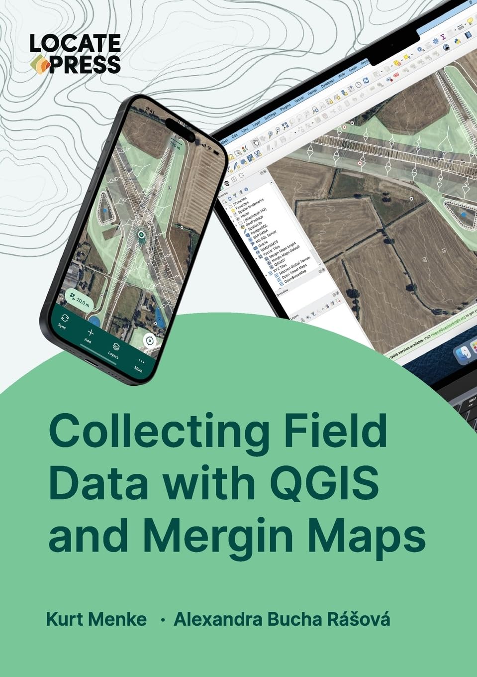
What is Mergin Maps? Take your QGIS project into the field with Mergin Maps. With Mergin Maps, you can easily capture features and photos with your team, synchronize changes across devices and use the power of QGIS to manage your project. This concise 137 page book, covers everything you need to know to work with Mergin Maps. If you are new to Mergin Maps and QGIS, the book begins with a gentle introduction. This includes all the basic steps of setting up a project in QGIS, configuring survey layers, conducting your first field survey and making your first map. If you are familiar with Mergin Maps, the book includes information on more advanced workflows. There is a detailed chapter on advanced project configuration and information on project management and collaboration principles. With this book you can unleash the full power of the Mergin Maps platform.
Collecting Field Data with QGIS and Mergin Maps
$45.00
This technical guide teaches students how to use QGIS and Mergin Maps for field data collection and spatial data management.
Additional information
| Weight | 0.181 lbs |
|---|---|
| Dimensions | 14.8 × 0.8 × 21 in |


Reviews
There are no reviews yet.