

")

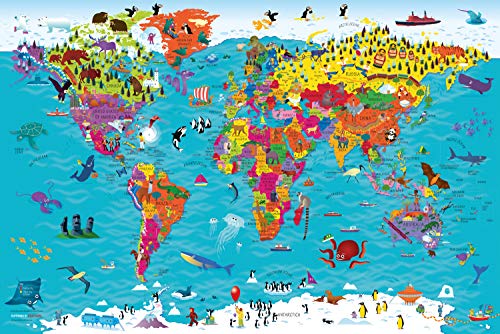
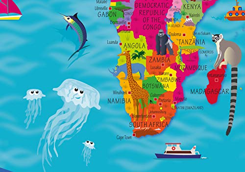
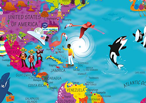
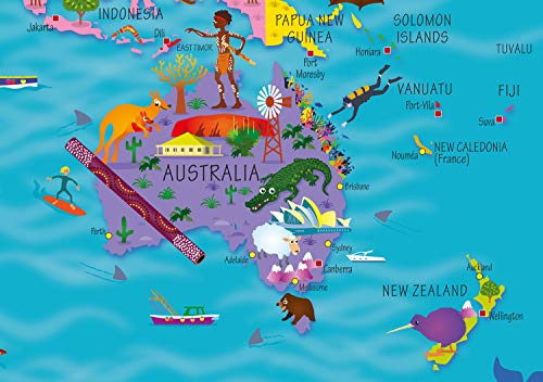
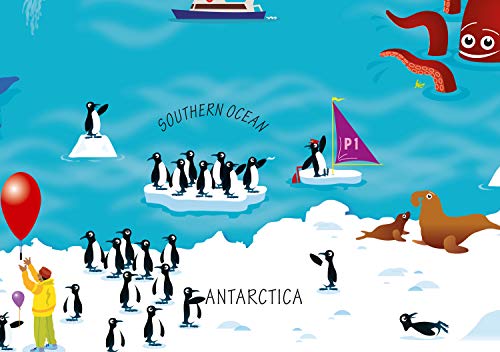
This highly illustrated pictorial map is designed to take children on a journey of discovery around the countries of the world. The mapping is clear, colorful and highly informative and shows countries and capital cities. Stunning illustrations are used to depict themes such as national emblems, customs, food, birds, animals, buildings and sports to help younger readers gain an understanding of peoples around the world.
Features
- Detailed World Map: This illustrated world map poster from Collins is a great way to learn about geography in a fun and engaging way
- Lightweight and Durable: With a weight of 96 grams, this world wall map poster is lightweight yet durable, making it easy to hang on your wall
- High-Quality Paper: The smooth finish of the high-quality paper ensures that the map will look great on any wall
- Standard Map Size: With dimensions of 9E+1 cm in length and 3 cm in width, this world wall map poster is the perfect size for any room


Reviews
There are no reviews yet.