


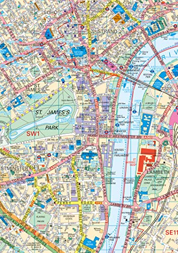
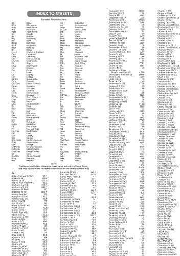


Handy little full color Collins map of central London with a high level of detail. From Regent’s Park in the north to Kennington in the south, and Kensington Gardens in the west to Tower Bridge in the east at a scale of 1:12,500 (5 inches to 1 mile). Maps of West End shopping and theaters are also included. Includes: Detailed central area map, theaters and cinemas map, shopping map, underground map, and the latest congestion zone boundary.
Features
- Pocket Map of London The perfect way to explore London
- Product type: MAPS
- Brand: Collins
")


Reviews
There are no reviews yet.