
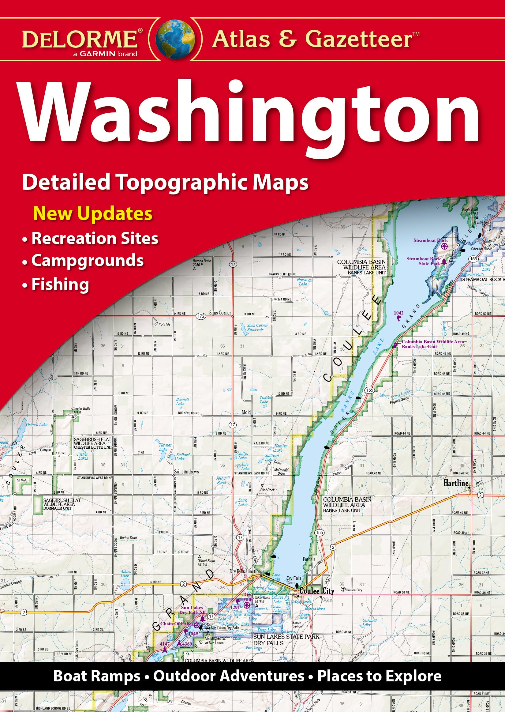
With an incredible wealth of detail, DeLorme’s Atlas & Gazetteer is the perfect companion for exploring the Washington outdoors. Extensively indexed, full-color topographic maps provide information on everything from cities and towns to historic sites, scenic drives, trailheads, boat ramps and even prime fishing spots. The Atlas & Gazetteer is your most comprehensive navigational guide to Washington’s backcountry. – Full-color topographic maps provide information on everything from cities and towns to historic sites, scenic drives, recreation areas, trailheads, boat ramps and prime fishing spots. – Extensively indexed. – Handy latitude/longitude overlay grid for each map allows you to navigate with GPS. – Inset maps provided for major cities as well as all state lands. Product Details: Dimensions: 15.5″ x 11″. Available for all 50 States!
Delorme Atlas & Gazetteer: Washington
$22.99
This atlas supports geography and social studies education by providing detailed cartographic information for a specific state.
Additional information
| Weight | 0.567 lbs |
|---|---|
| Dimensions | 26.8 × 1.2 × 38.8 in |


Reviews
There are no reviews yet.