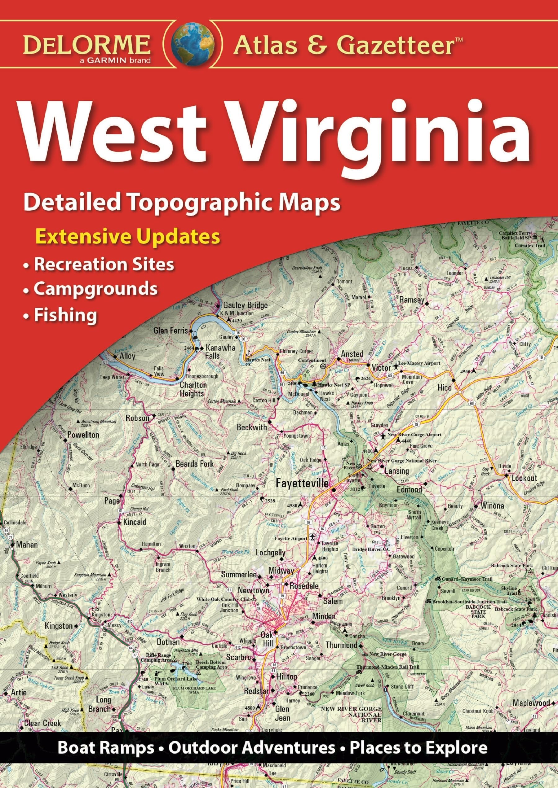
DeLorme Atlas & Gazetteers Are the Outdoor Enthusiasts’ Choice Amazingly detailed and beautifully crafted, large-format paper maps for all 50 states Topographic maps with elevation contours, major highways and roads, dirt roads, trails and land use data Gazetteer section contains information essential for any outdoor enthusiast, such as points of interest, landmarks, state and national parks, campgrounds, boat launches, golf courses, historic sites, hunting zones, canoe trips, scenic drive recommendations and more (Note: available information varies by state) Perfect for sightseeing, exploring back roads, outdoor recreation and trip planning The Perfect Companion for Outdoor Recreation and Trip Planning Rely on DeLorme Atlas & Gazetteer paper maps for the utmost in trip planning and backcountry access. It’s available in paperback (11-inches x 15.5-inches) for all 50 states.
DeLorme(r) West Virginia Atlas & Gazetteer
$32.95
This atlas of West Virginia provides detailed topographic maps for studying geography, navigation, and state-specific points of interest.
Additional information
| Weight | 0.381 lbs |
|---|---|
| Dimensions | 27.4 × 1 × 38.9 in |


Reviews
There are no reviews yet.