
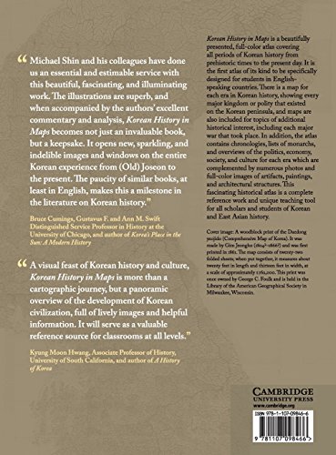
Korean History in Maps is a beautifully presented, full-color atlas covering all periods of Korean history from prehistoric times to the present day. It is the first atlas of its kind to be specifically designed for students in English-speaking countries. There is a map for each era in Korean history, showing every major kingdom or polity that existed on the Korean peninsula, and maps are also included for topics of additional historical interest, including each major war that took place. In addition, the atlas contains chronologies, lists of monarchs, and overviews of the politics, economy, society, and culture for each era which are complemented by numerous photos and full color images of artifacts, paintings, and architectural structures. This fascinating historical atlas is a complete reference work and unique teaching tool for all scholars and students of Korean and East Asian history.

Korean History in Maps: From Prehistory to the Twenty-First Century
$78.71
This atlas provides a visual and comprehensive reference for students studying Korean and East Asian history.
Additional information
| Weight | 0.98 lbs |
|---|---|
| Dimensions | 22.2 × 1.9 × 27.9 in |


![[FULL COLOR] KOREAN CULTURE DICTIONARY: From Kimchi To K-Pop And K-Drama Cliches. Everything About Korea Explained! (The K-Pop Dictionary)](https://m.media-amazon.com/images/I/71M8S8Rgq7L.jpg)
Reviews
There are no reviews yet.