

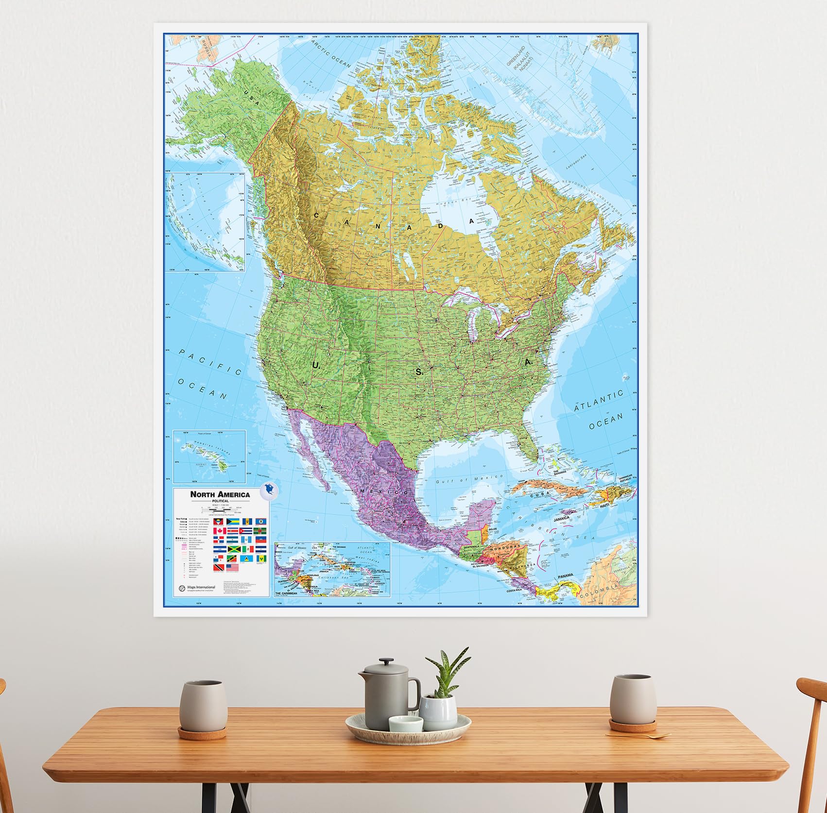

Features
- MAP SIZE: This map poster measures 48 (h) x 36 (w) inches
- WRITE-ON FINISH: This Large Political North America Map Poster is finished with a lamination process known as encapsulation. Encapsulation means the print is heat-sealed between two sheets of industrial-quality plastic film. Please note that the edges of this print are not sealed.
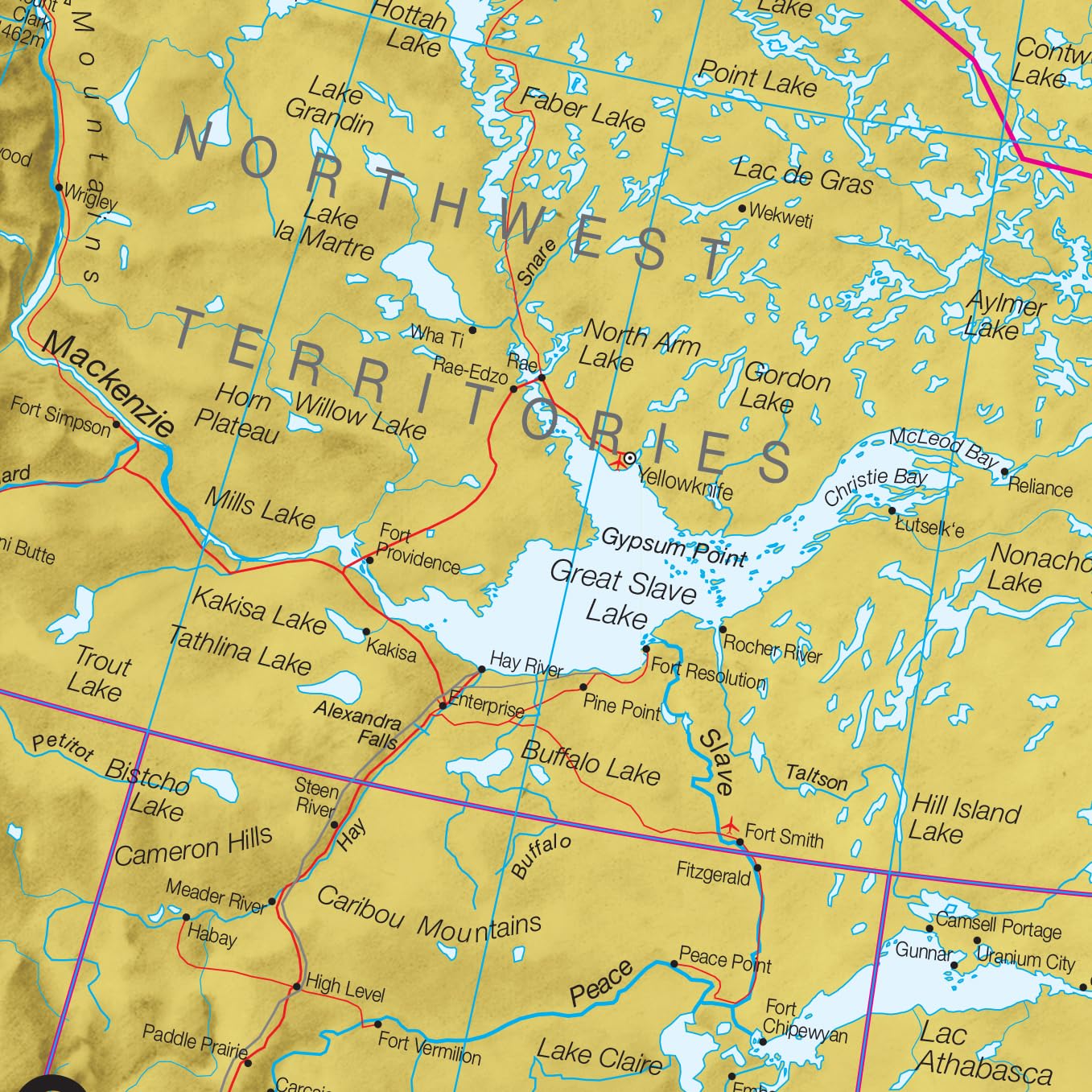
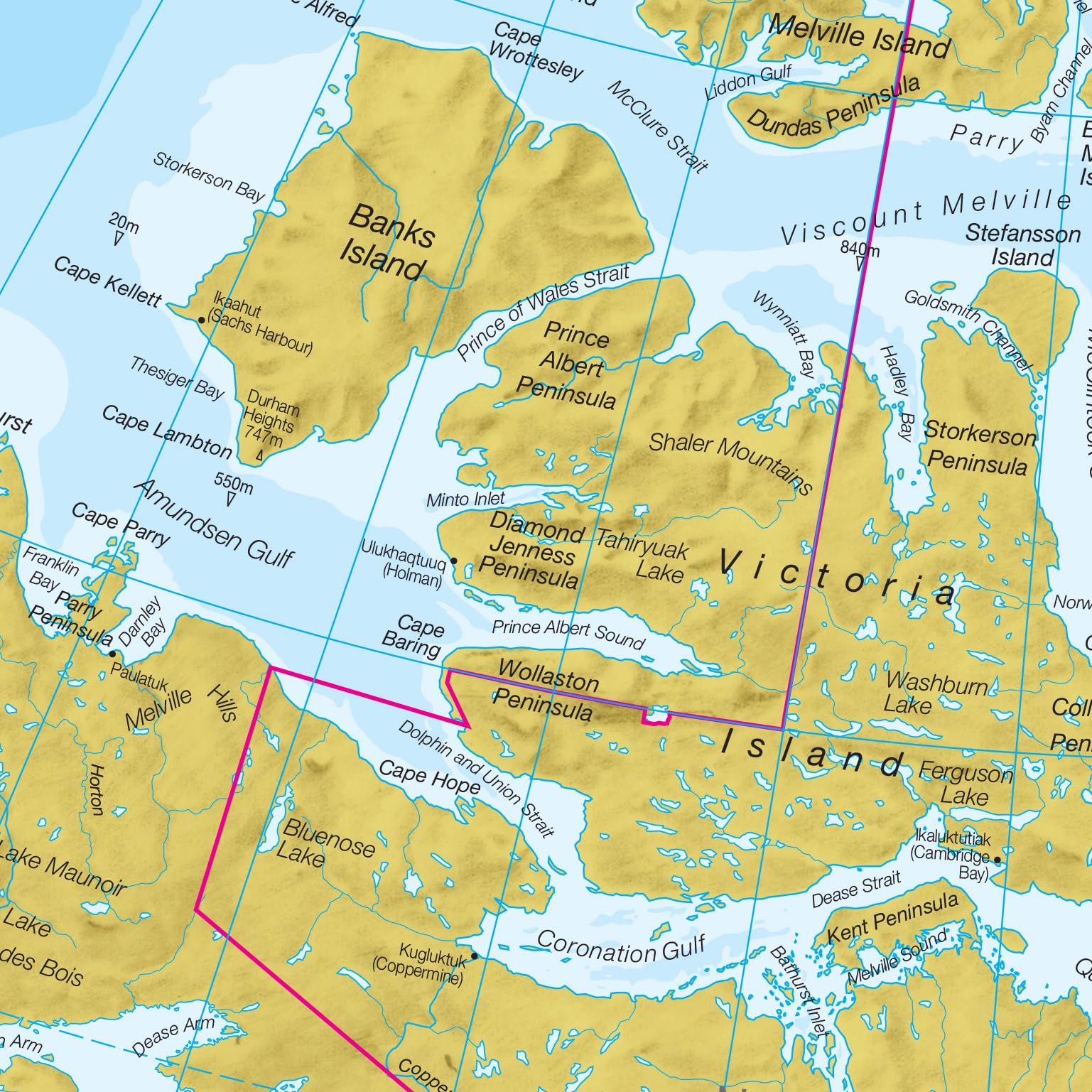
- DETAILED CONTINENTAL MAP: This map poster features country boundaries, major towns and cities and also contains hill and sea shading.
- HOME, OFFICE OR SCHOOL: This map will be the perfect addition to any space.
- MAPS INTERNATIONAL: Our philosophy of ‘cartographic excellence’ combines detail, design and high quality finishes in a range of stunning wall maps.
![Wall Art Impact 26"x24" Poster Resource Map - Australia Mineral Resources Map My [Laminated]](https://m.media-amazon.com/images/I/81kDfsItG3L.jpg)
![Wall Art Impact 24"x39" Upside Down Political World Map. Rare Funny maps. [Laminated]](https://m.media-amazon.com/images/I/A1ozy4bAW2L.jpg)


Reviews
There are no reviews yet.