
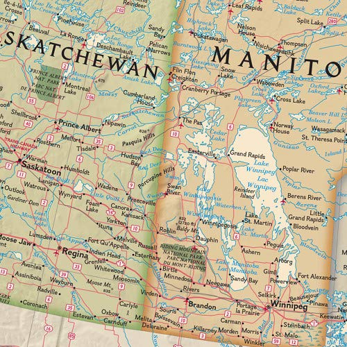
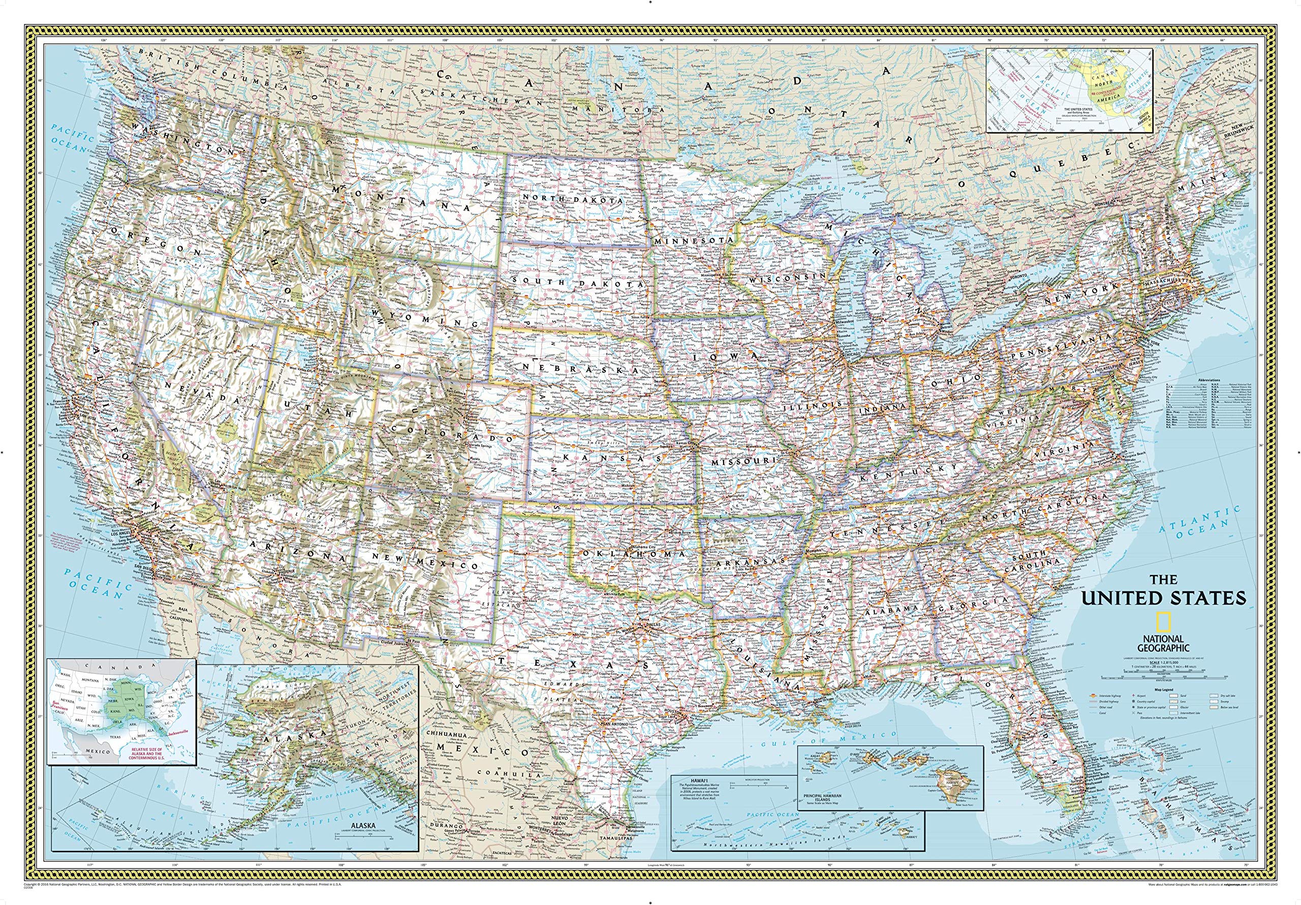
The Executive political map of Canada is a striking example of the cartographic excellence National Geographic is known for. This map features an attractive antique-style color palette, stunning shaded relief, thousands of place names, accurate political boundaries, national parks, archeological sites, and major infrastructure networks such as roads, airports, canals, and railroads. In addition to Canada, coverage includes Iceland, Greenland, and the northern United States. The map is packaged in a two inch diameter tube with a label showing a thumbnail of the map with dimensions and other pertinent information. Map Scale = 1:6,468,000 Sheet Size = 38″ x 32″

National Geographic Canada Wall Map – Executive (38 x 32 in) (National Geographic Reference Map)
$19.95
This wall map serves as a detailed geographical and political reference for Canada, aiding in social studies and geography lessons.
Additional information
| Weight | 0.635 lbs |
|---|---|
| Dimensions | 6.4 × 6.4 × 120 in |


Reviews
There are no reviews yet.