
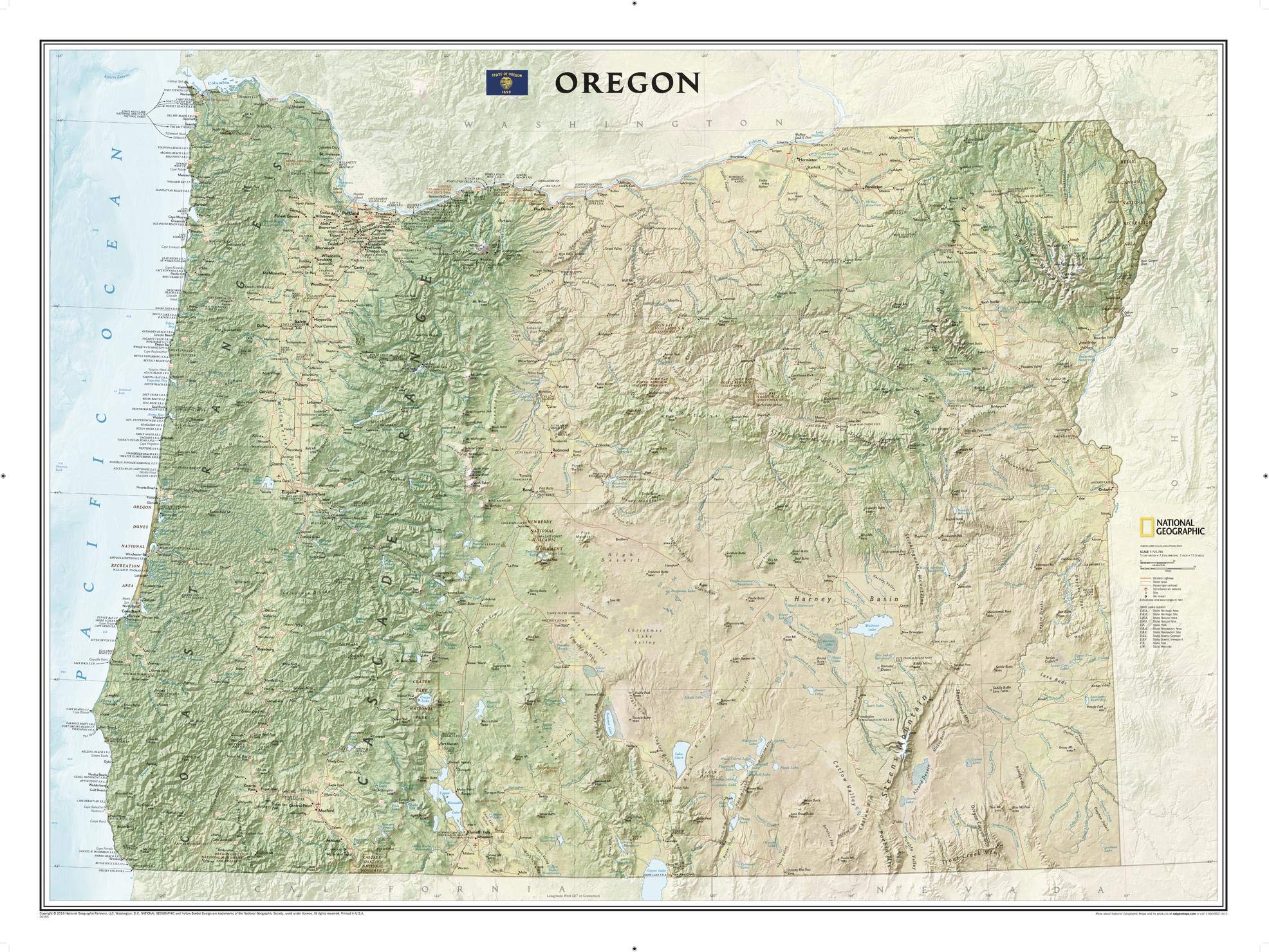
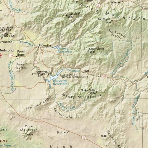
National Geographic’s wall map of Oregon brings the rich and diverse topography of the state to life in elegant detail. Mountain ranges, prominent peaks, major lakes, rivers, and reservoirs, and other geographic features are highlighted. In addition to hundreds of place names, this map includes the precise locations of cities, major roadways and railways, airports, and national and state parks. Stunning shaded relief and vibrant colorization distinguishes mountain ranges, forests, deserts, valleys, and other physical topography. The Pacific Crest Trail, a long-distance hiking and equestrian trail to runs through the entire state from the border with California into Washington, is shown as well. This striking map would be an attractive addition to any study or office. The map is packaged in a two inch diameter tube with a label showing a thumbnail of the map with dimensions and other pertinent information. Map Scale = 1:725,765 Sheet Size = 40.5″ x 30.25″
National Geographic Oregon Wall Map (40.5 x 30.25 in) (National Geographic Reference Map)
$24.95
This Oregon wall map provides a detailed visual reference for students to learn about the state’s diverse geography and landmarks.
Additional information
| Weight | 0.522 lbs |
|---|---|
| Dimensions | 94.6 × 7.6 × 7.6 in |


Reviews
There are no reviews yet.