
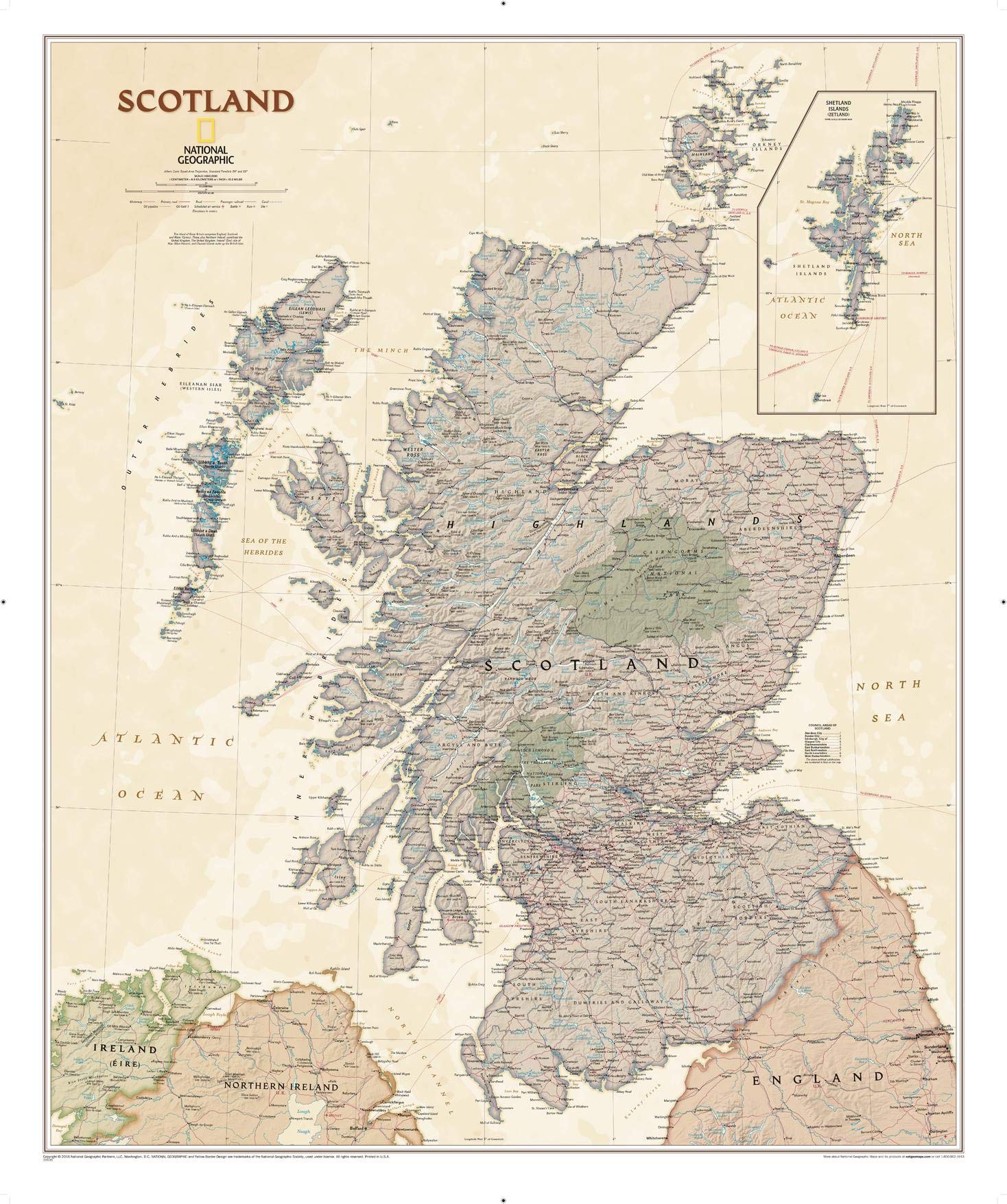
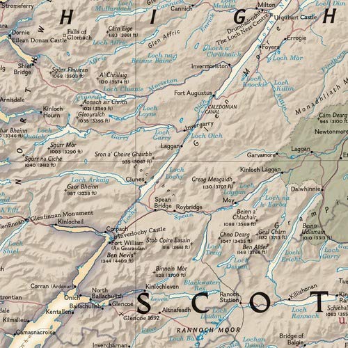
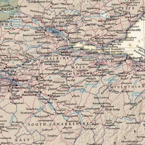
National Geographic’s wall map of Scotland is one of the largest and most detailed maps of the country. The Executive map of Scotland uses an antique-style color palette and stunning shaded relief that provide a richness perfect for any decor. This map includes hundreds of named places including primary and secondary towns, counties, political boundaries, infrastructure, and selected historical sites. Scotland is shown in its entirety including the Highlands, Southern Uplands, Isle of Skye, Outer Hebrides, Inner Hebrides, Orkney Islands and the Shetland Islands (shown in an inset map). The nine political council areas of Scotland are also clearly identified. The map is packaged in a two inch diameter tube with a label showing a thumbnail of the map with dimensions and other pertinent information. Map Scale = 1:650,000 Sheet Size = 30″ x 36″
Features
- Scotland Executive, Tubed: Wall Maps Countries & Regions National Geographic Reference Map
- CARDS
- National Geographic


Reviews
There are no reviews yet.