
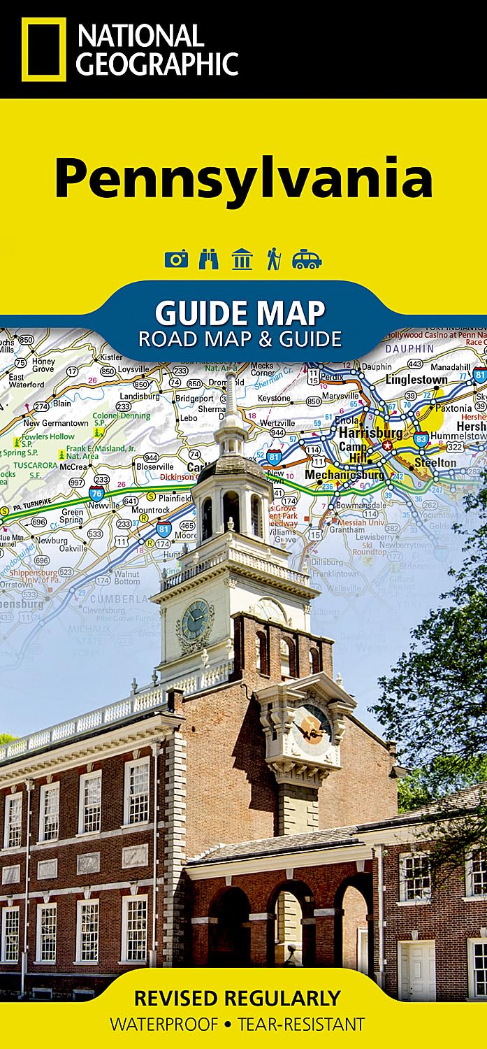
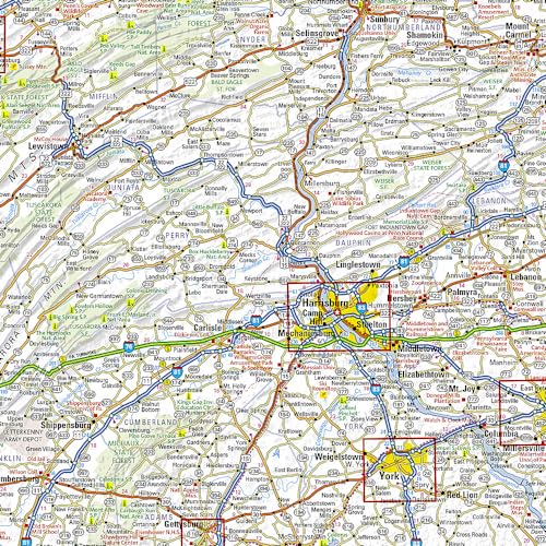
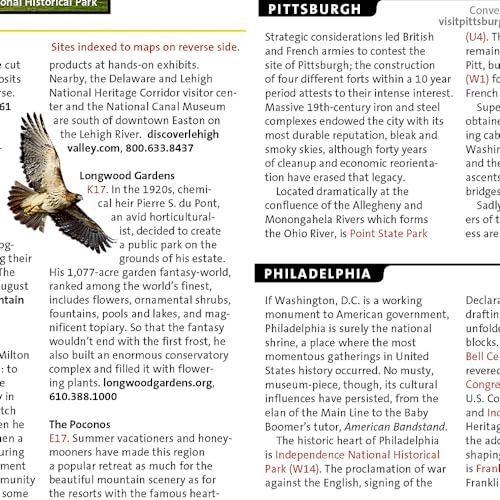
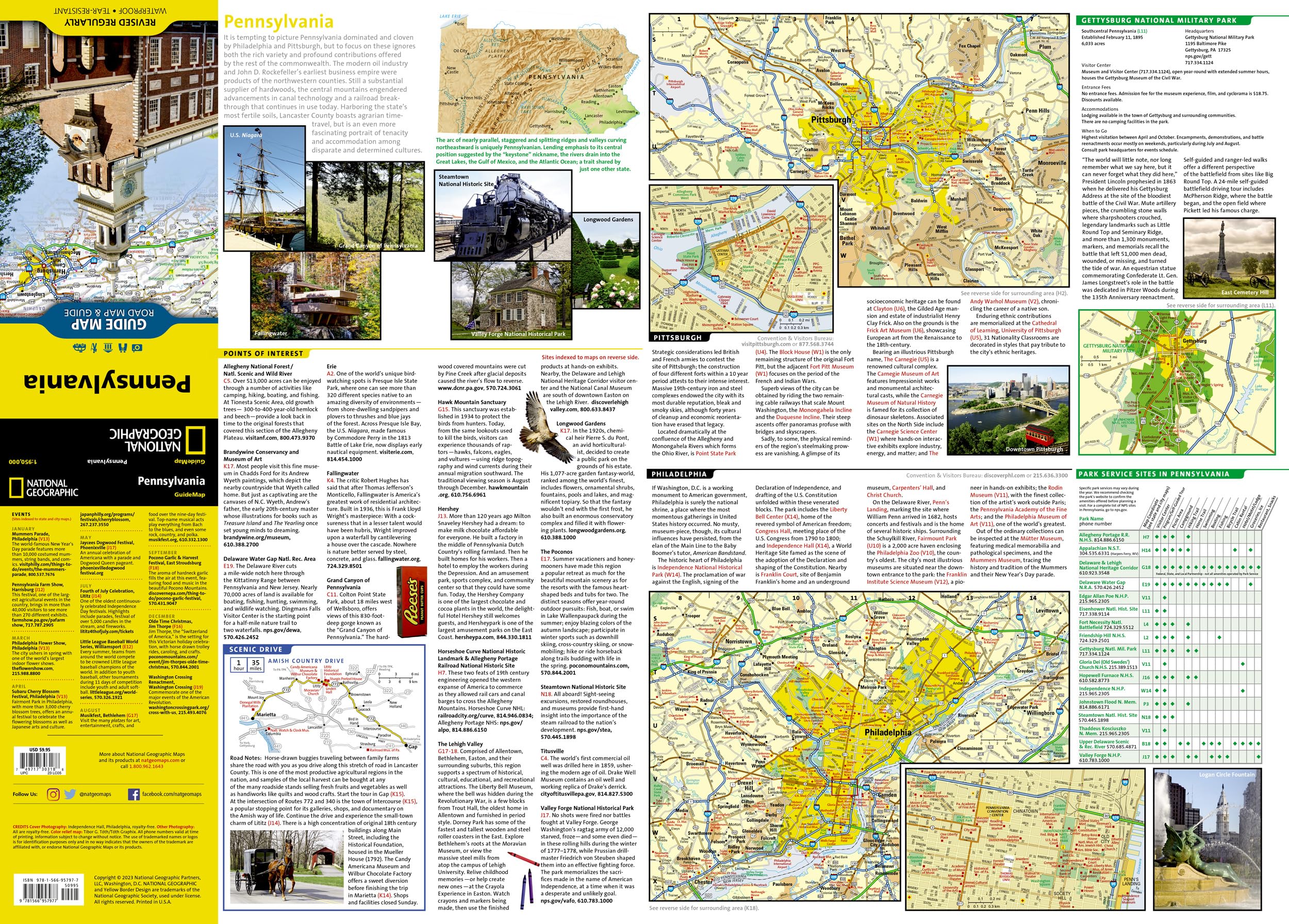
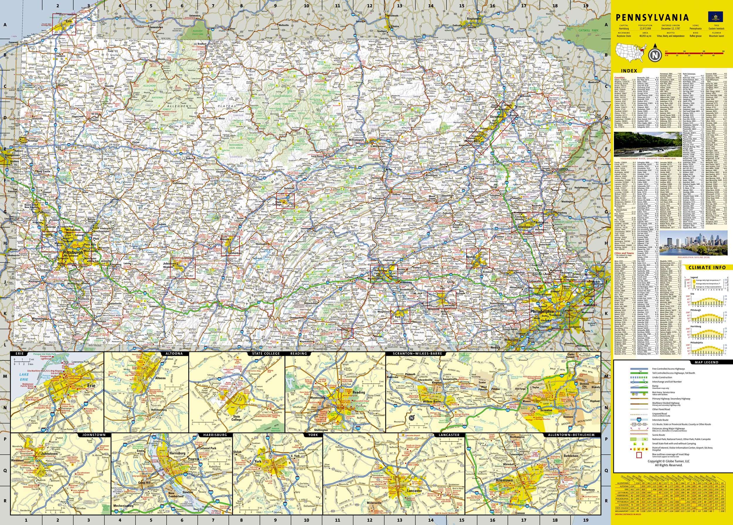
* Waterproof * Tear-Resistant * Travel Map Whether traveling for business or leisure, National Geographic’s Pennsylvania Guide Map is an essential travel companion. Coverage is unparalleled with a comprehensive road map, combined with more than 10 inset maps detailing cities and metropolitan areas, including Philadelphia, Pittsburgh, Allentown — Bethlehem, Allentown, Reading, Scranton — Wilkes-Barre, Lancaster, Harrisburg and others. Roads are labeled according to usage and hundreds of points of interest, national and state parks, national forests, campgrounds, visitor centers, airports, ski areas and hospitals are pinpointed. To find your destination quickly, use the convenient index of counties, cities and towns. Visitor information is given for Philadelphia and Pittsburgh, as well as Gettysburg National Park and Amish Country scenic drive, all of which have accompanying inset maps. Descriptions and contact information are provided for many popular points of interest, a calendar of events and national parks which are listed in a chart with their available services. Every State Guide Map is printed on durable synthetic paper, making them waterproof, tear-resistant and tough — capable of withstanding the rigors of any kind of travel. Map Scale = 1:950,000 Sheet Size = 24.75″ x 17.75″ Folded Size = 4″ x 8.75″

Pennsylvania Map (National Geographic Guide Map)
$9.49
This map of Pennsylvania serves as an excellent resource for studying US geography, history, and state-specific landmarks.
Additional information
| Weight | 0.045 lbs |
|---|---|
| Dimensions | 22.2 × 0.6 × 10.2 in |


Reviews
There are no reviews yet.