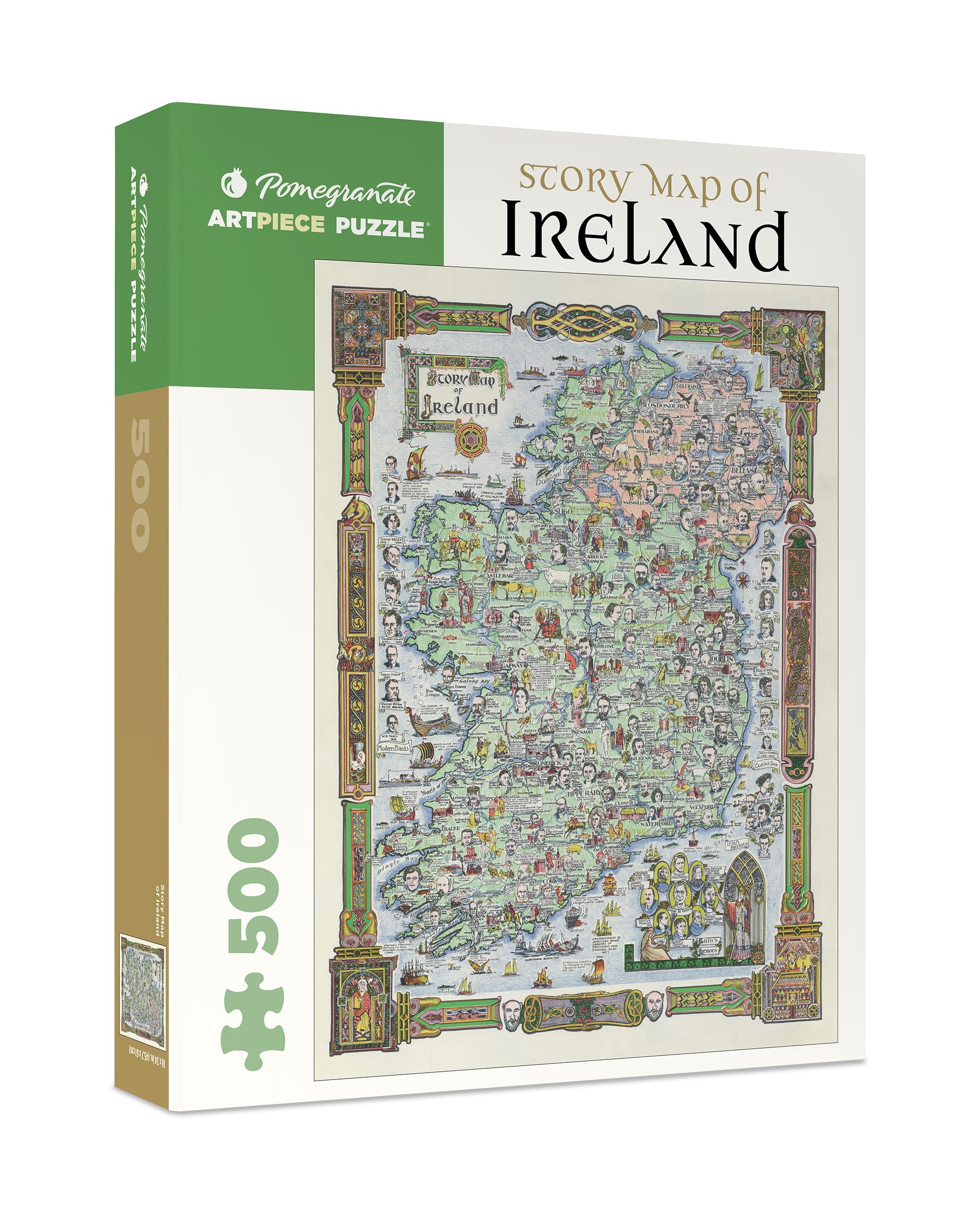
Story Map of Ireland, 1935 This delightfully detailed pictorial map of Ireland was part of a series of “story maps” produced by Colortext Publications in the 1930s and 1940s. It features historical facts about major battles, discoveries, and cultural events; basic geographic details, including bodies of water, counties, and towns; and intricate borders and title decorations adapted from illuminated manuscripts. Captions labeling landmarks such as lighthouses, castles, and universities intermingle with bits of whimsy such as a leprechaun and a limerick, making this a captivating 500-piece puzzle.
Features
- Package Dimensions: 26.8 cms (L) x 22.0 cms (W) x 4.8 cms (H)
- Product Type: Puzzles
- Package Quantity: 1
- Country Of Origin: United States


Reviews
There are no reviews yet.