
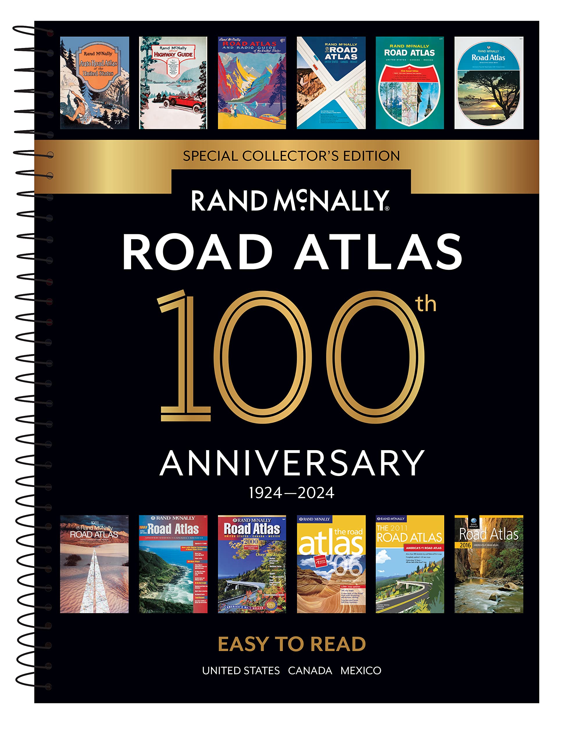
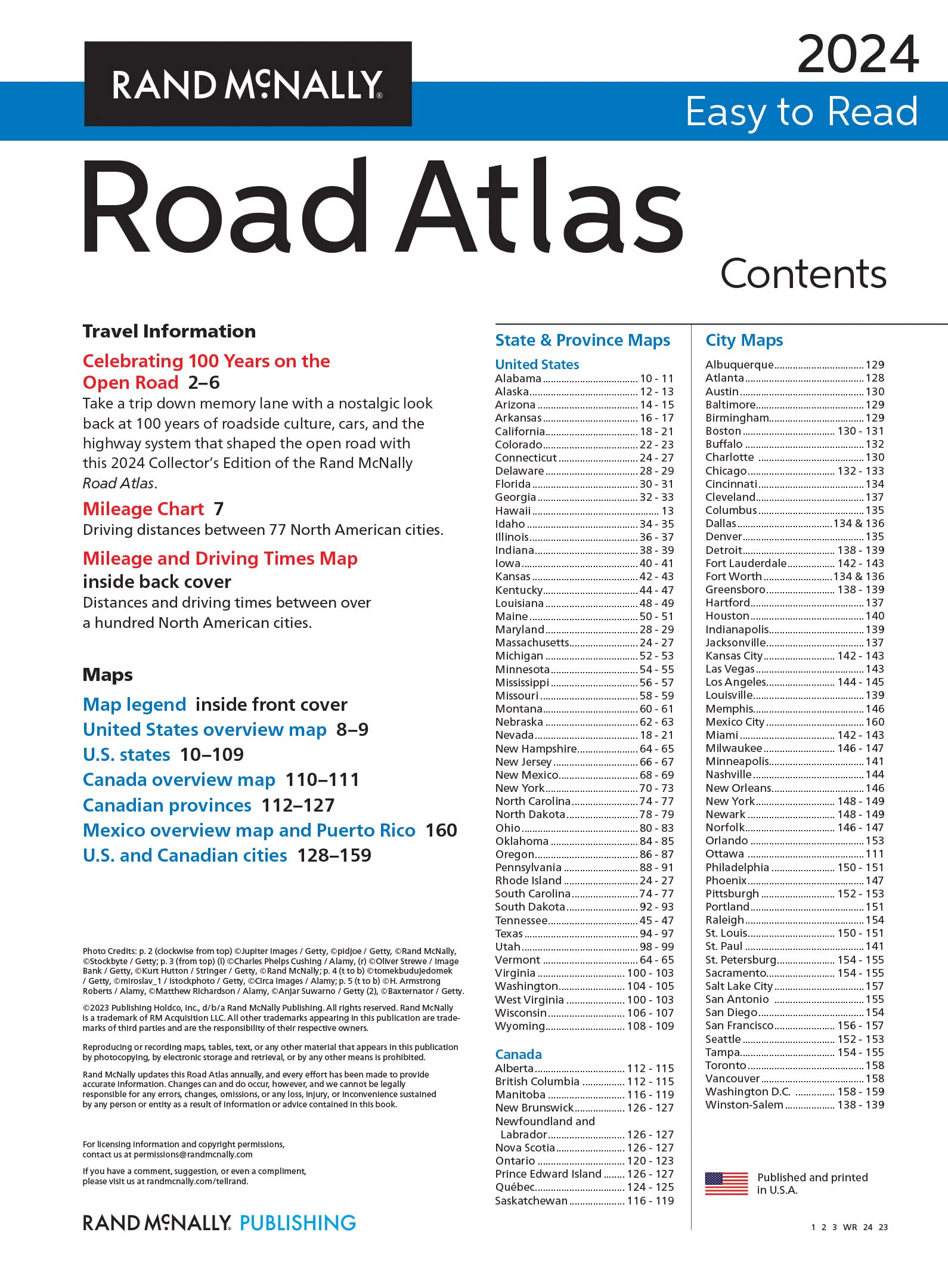
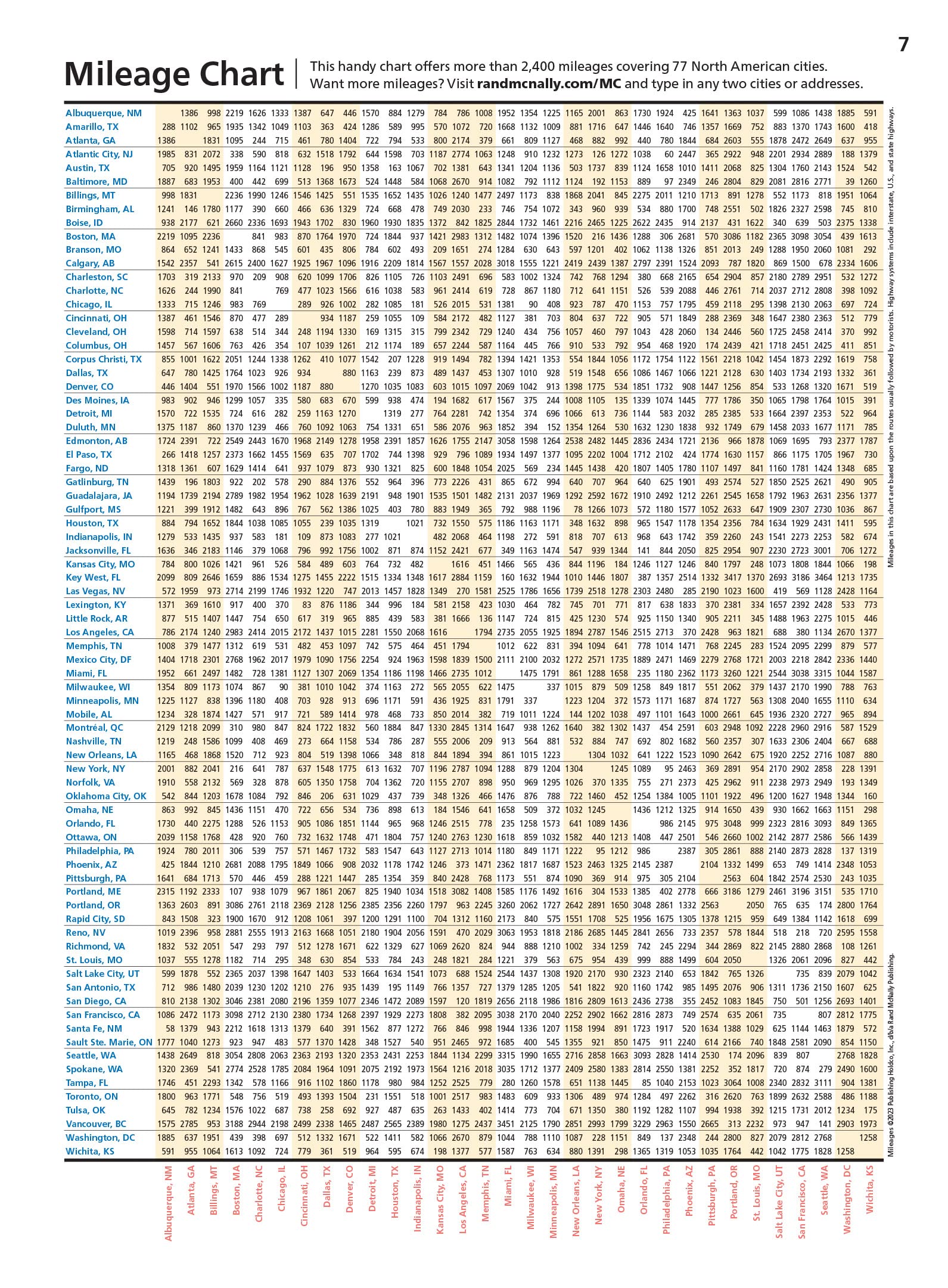
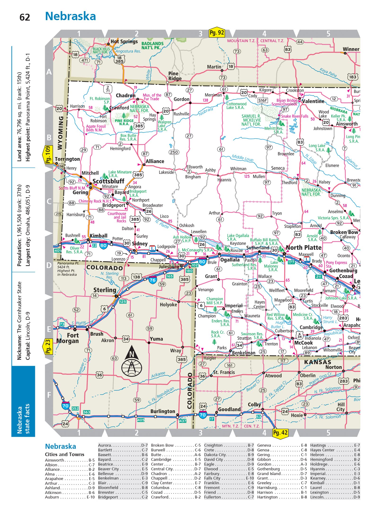
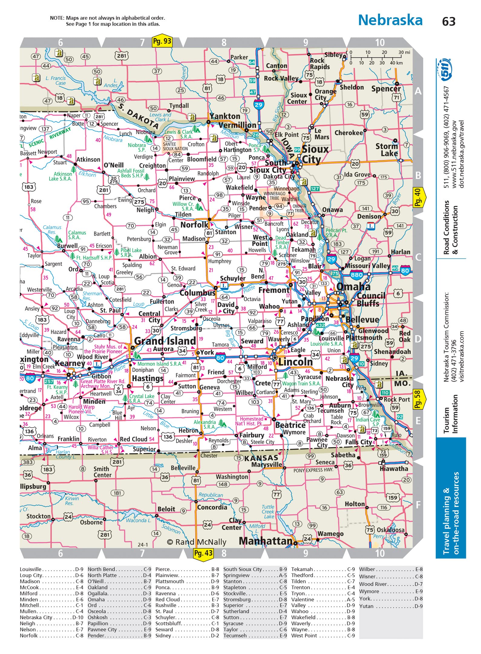
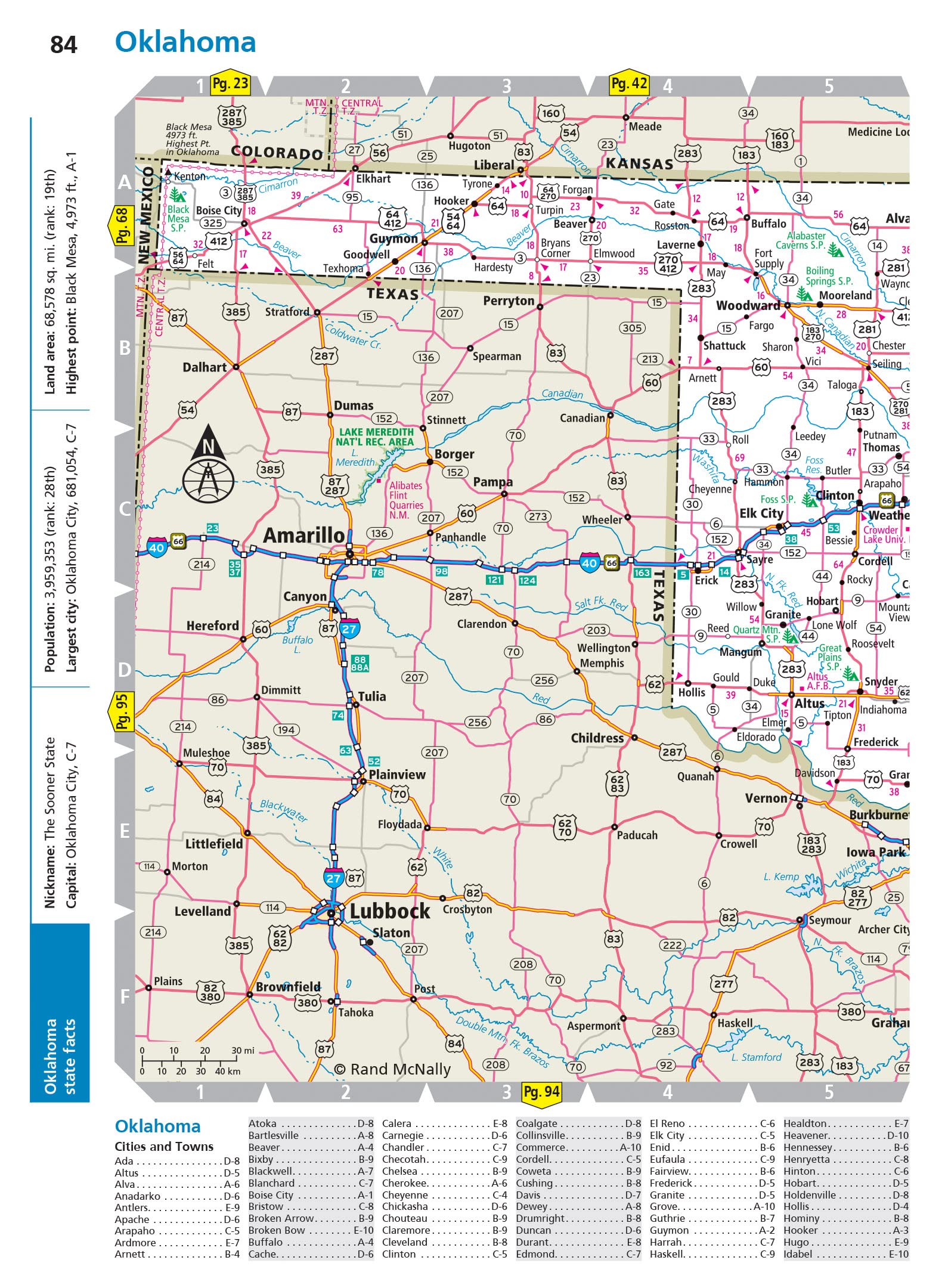
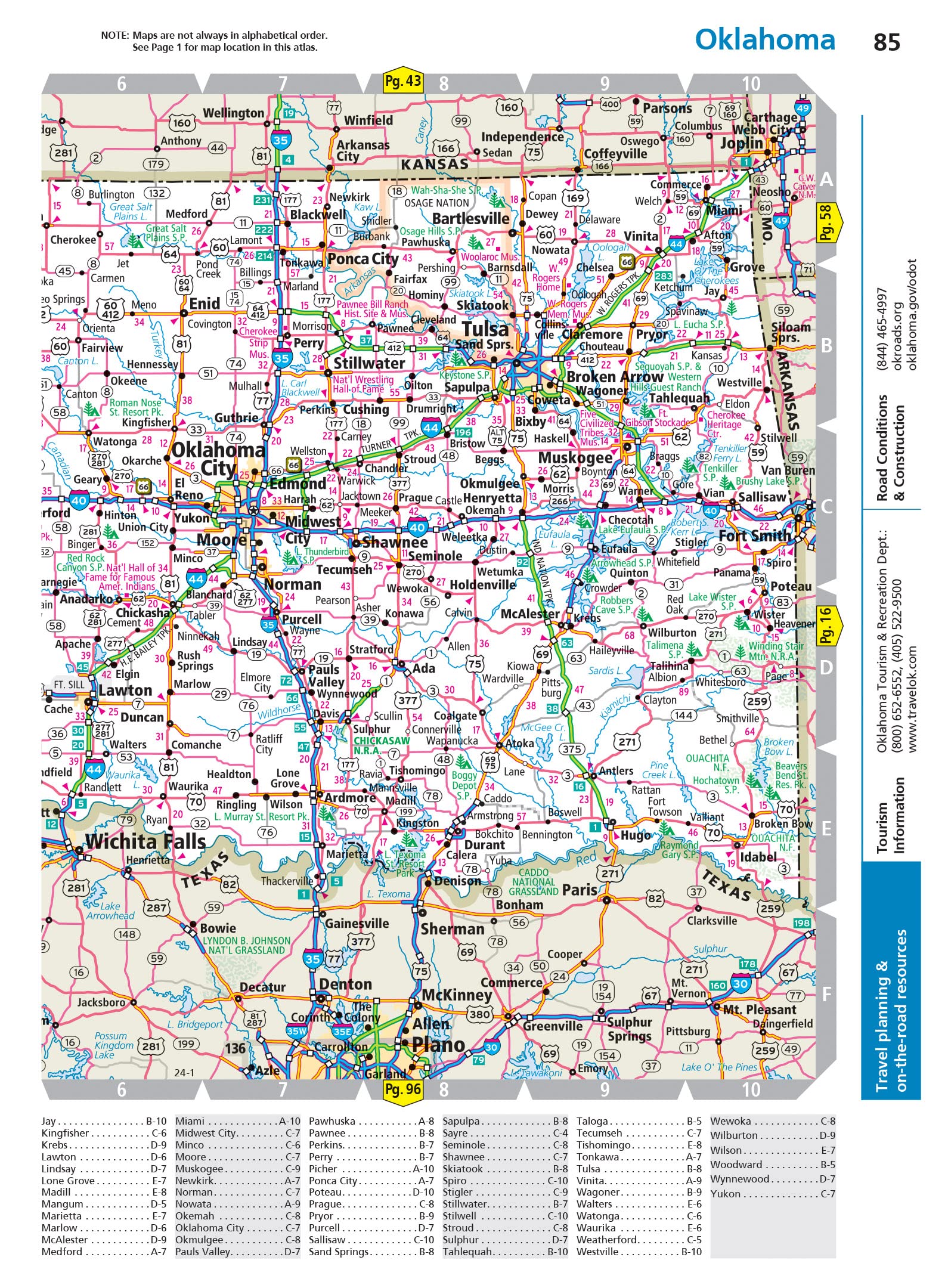
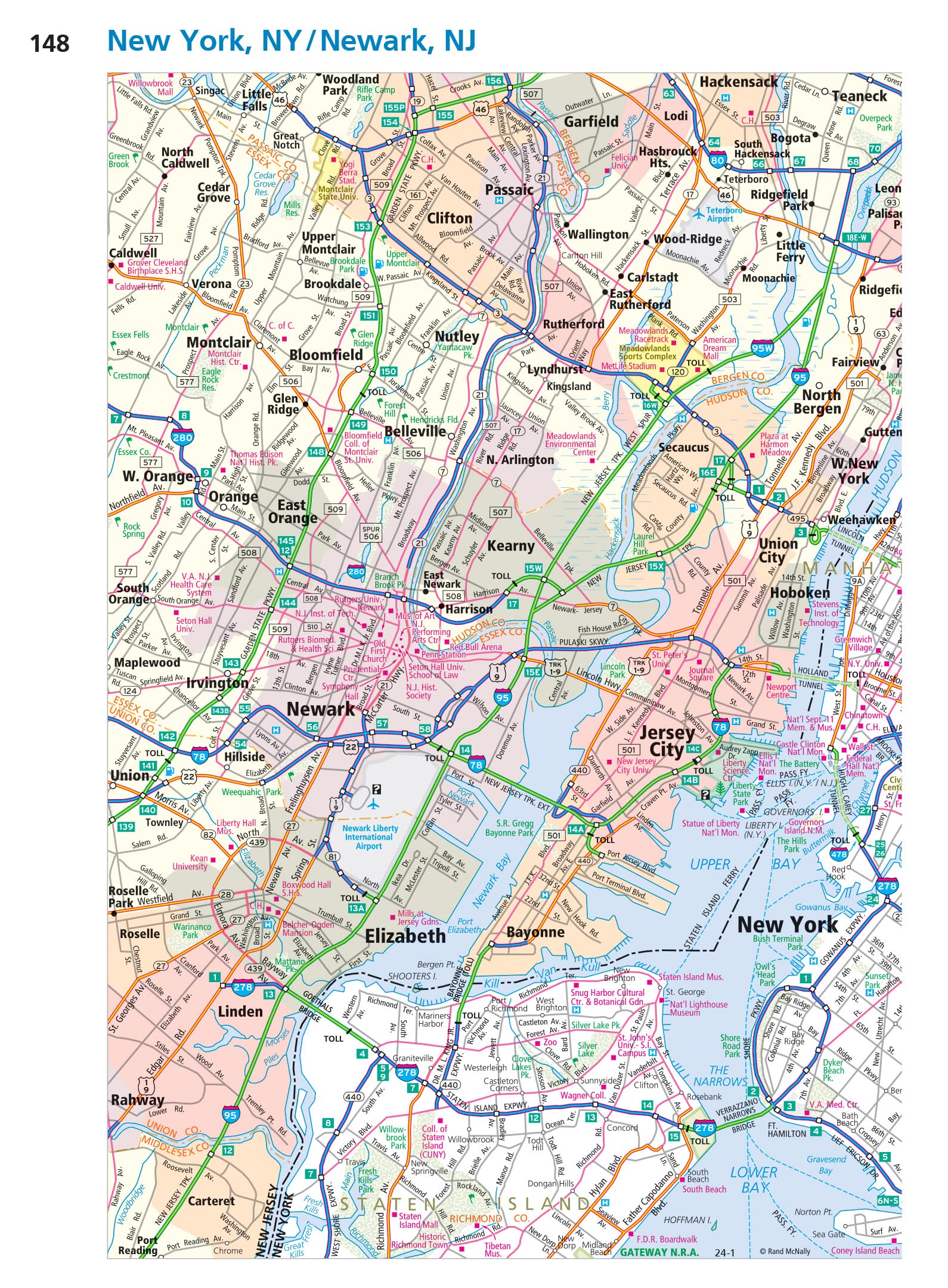
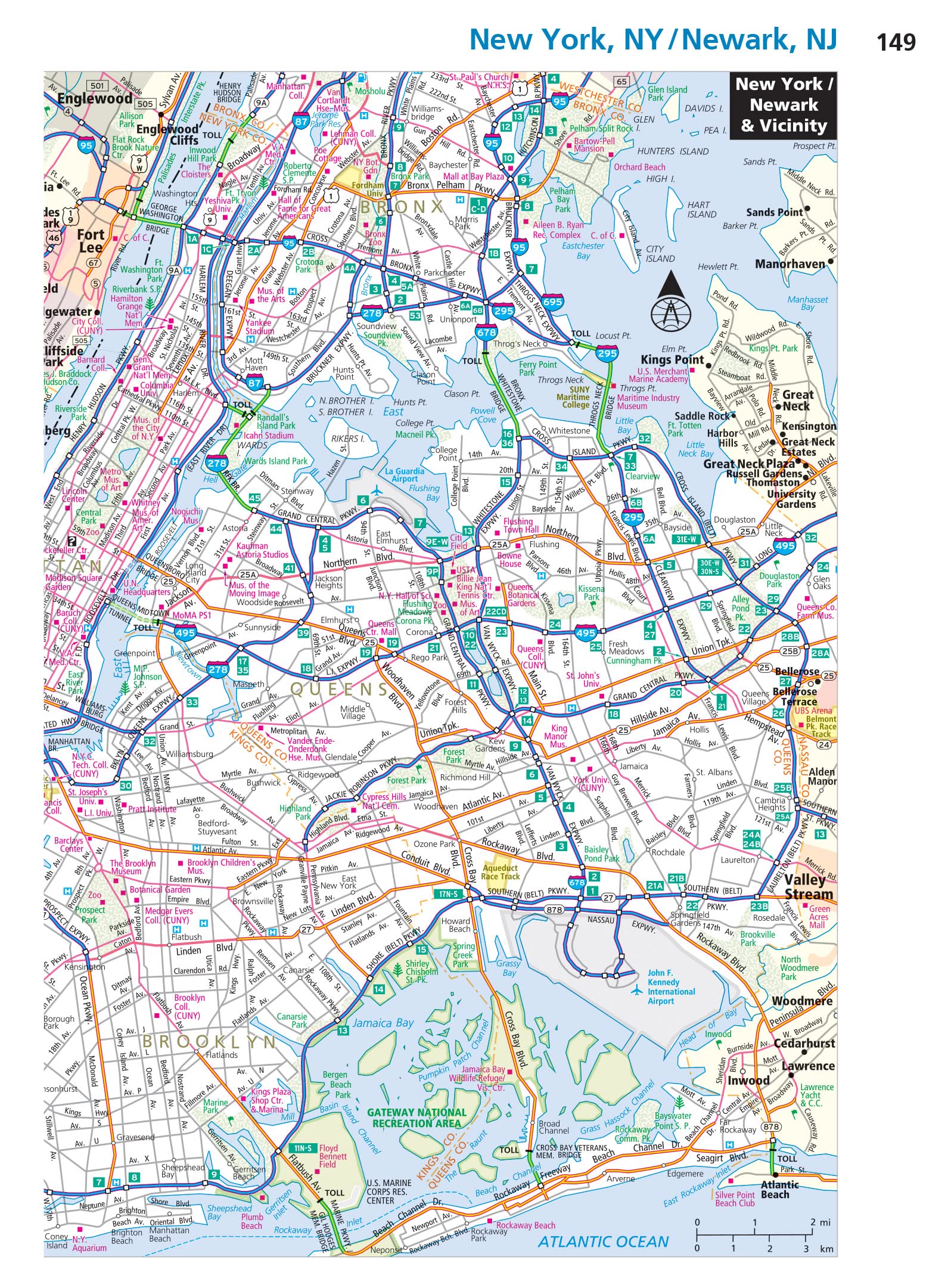
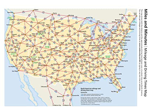
This spiral bound format features maps that are 35% larger than those found in Rand McNally’s standard Midsize Atlas. This updated North American atlas contains maps of every U.S. state and Canadian province, an overview map of Mexico, plus detailed maps of over 50 North American cities, all conveniently packaged for travel. Contains mileage chart showing distances between 77 cities and national parks with driving times map. Spiral binding allows the book to lay open easily.
Features
- Spiral binding allows the books to lay open easily
- Tourism websites and phone numbers for every U.S. state and Canadian province on map pages.
- Road construction and conditions contact information for every U.S. state and Canadian province.
- City index conveniently located on map pages
- Made in the USA

![Wall Art Impact 26"x24" Poster Resource Map - Australia Mineral Resources Map My [Laminated]](https://m.media-amazon.com/images/I/81kDfsItG3L.jpg)


Reviews
There are no reviews yet.